Curated OER
Google Earth
In this Google Earth worksheet, students access the Google Earth website and find the latitude, longitude, and elevation for their house and school. Then they do the same for a variety of world locations. This worksheet has 10 fill in...
Curated OER
World Map
For this world map worksheet, students practice their geography skills as they label the 7 continents and 5 oceans. A word bank in included.
Curated OER
Where Do Hurricanes Happen?
In this hurricanes worksheet, students label the 6 different regions that hurricanes and tropical cyclones occur around the world.
Curated OER
How Would You Travel To Sydney, Australia?
In this travel planning learning exercise, learners use a blank world map to draw a line indicating their route to Sydney, Australia from their own hometowns.
Curated OER
Capitals of the World
In this geography worksheet, learners write the capitals of 20 countries. Countries include England, Portugal, Australia, and Canada.
Curated OER
World Map PDF
In this social studies worksheet, 1st graders practice creating the letter "J". They use the example in the lesson plan in order to draw the letters correctly.
Curated OER
Village Children in Northern Pakistan
Student use maps to answer geographic questions. They analyze Earth's surface by using a map to identify physical features that lead to different transportation routes. Student create a collage to show geographic insight into the topic...
Curated OER
Global Lesson: Social Studies On-Line Global Lesson: Social Studies On-Line Continents
In this geography PowerPoint a simple world map on which each continent is represented by a solid green landform is the background for each of the nine slides. The continent names appear in a list on the first slide, followed by one...
Curated OER
Writing a Secret Message - Geography
Students select a specific area in geography and write a secret message about the area for students to guess. In this geography lesson, students write a secret message about a specific geographical location. Students present their secret...
Curated OER
The???
In this world information learning exercise, students answer the questions relating to landmarks, history, and basic information around the world. Students complete 30 online questions.
Curated OER
World Map and Globe
Students explore symbols. In this beginning map instructional activity, students identify common picture symbols. Students place post-it notes with symbols drawn on them in the appropriate place on a map.
Curated OER
World Map and Globe
Students locate and identify continents and countries. In this world map lesson, students locate and identify one country on each continent.
Curated OER
World Map and Globe - Four Main Directions
Learners study the four main directions on a map. In this map instructional activity, students locate the North and South pole, and learn the four cardinal directions. They use the compass rose on a map to help with the directions. (Map...
Curated OER
Using the Four Main Directions in the Classroom
Students use the four main directions to locate features in the classroom. For this direction lesson, students review the 4 main directions using a world map. Students use a magnetic compass to locate the north wall in their classroom...
Curated OER
World Geography Quiz
In this world geography worksheet, students answer several questions based on world geography and landmarks. Students answer 10 multiple choice questions.
Curated OER
South America
In this map of South America activity, students study the map of South America and then write the names of the 15 countries and territories on the provided lines.
Curated OER
Mountains of the World
In this social studies worksheet, students locate 54 mountains from around the world. Students may self correct their word search puzzles by selecting the link at the end of the page.
Curated OER
The Birthplace
Students use a world map, to identify the country of origin of the target language and other countries and areas where the largest language is on e of the principal languages. They complete this assessment orally using a world map.
Curated OER
Geography: Mapping Newspaper Coverage
Students examine the locations of stories appearing in newspapers and determine where to assign reporters. Using various maps, they connect the stories to the correct maps and create charts of the story locations. Students explain their...
Curated OER
ADULT ESOL LESSON PLAN--Environment and the World
Students locate and trace Florida on a United States map as well as their local counties and city of residence on a state map. In addition, they label all the directions north, south, east and west on each map.
Curated OER
Travel Brochure/ Itinerary
Students select and research a country of their choice and create a travel brochure and a 7-day itinerary.
Northern Illinois University
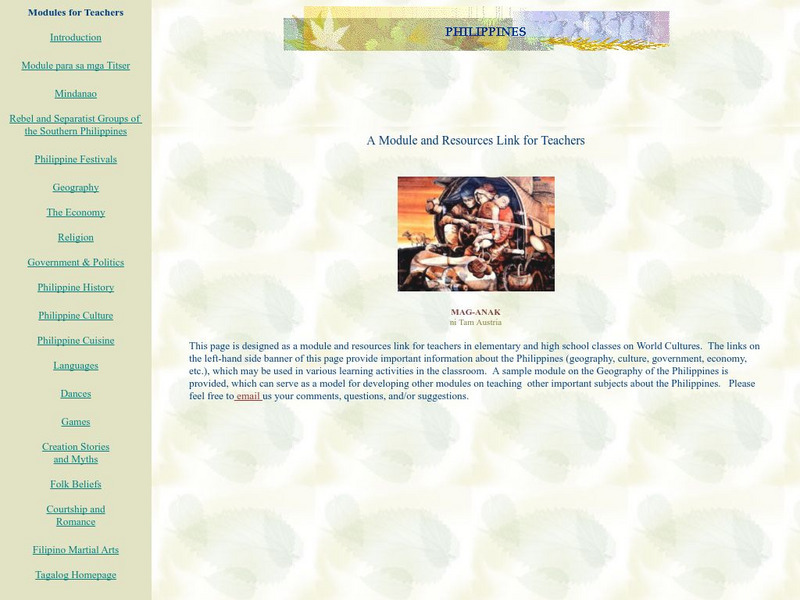
The Philippines: Module for K 12 Teachers and Learners
This module on the Philippines is a great "All-in-one" site for a teacher or class studying the Philippines. Covers everything from history and culture to games, festivals, creation myths, and folk beliefs.
World InfoZone
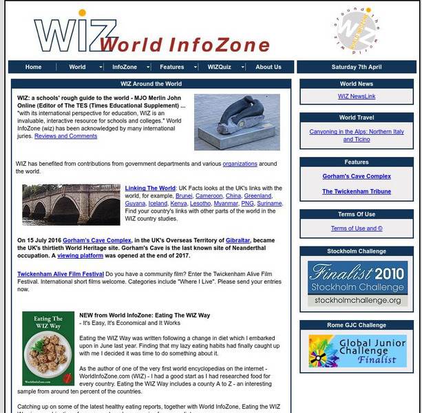
World Info Zone
Detailed, comprehensive information on countries and people all over the world. Great tool for discovering facts on world issues, seeing photos, and just exploring the world in general. Also includes quizzes based on the website's content.
Other
360 Cities: World Panoramic Photography
Explore the world's cities and environments through panoramic photography. Includes a video explaining how to shoot a panorama. Explore by delving into the world map, a themed set, editors' picks, or an expert photographer's portfolio.


