Montana State University
Sea Floor to Summit
Who knew that mountain formation could be so entertaining? Leanr how mountains form with a resource on Mount Everest. Activities to guide learning include a simulation, project, videos, coloring activities, and worksheets.
American Museum of Natural History
Earthquakes Tremors From Below
Earthquakes are really no one's fault. A thorough lesson explains the different types of earthquakes how they happen. Learners interact with the online lesson to simulate earthquakes and examine their results. The lesson is appropriate...
GNS Science
Think like a Geologist: 1
How well do pupils play the role of geologist? Test their abilities in the first installment of a two-part series. Presented with a series of rock formation diagrams, learners write stories to match what they see in the diagrams. The...
CK-12 Foundation
Topographic and Geologic Maps: Topographic Maps
Maps are great for helping you get where you're going, but what does that place actually look like? Geology scholars compare and contrast the features of topographical and geologic maps using an interactive lesson. The resource describes...
Science Matters
Spaghetti Fault Model
Does increasing the pressure between two moving plates provide a stabilizing force or create more destruction? The hands-on lesson encourages exploration of strike-split fault models. The sixth lesson in a 20-part series asks...
Science Matters
Fault Formations
The San Andreas Fault moves about two inches a year, approximately the same rate fingernails grow—crazy! The third activity in the series allows for hands-on exploration of various fault formations. Through the use of a Popsicle stick,...
Science Matters
A Model of Plate Faults
The San Andreas fault is one of the longest fault zones in the world. In a series of 20 lessons, the fourth lesson has pupils use a paper model to recreate various types of plate faults. Each is held in position then drawn...
Science Matters
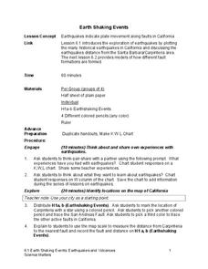
Earth Shaking Events
The world's largest measured earthquake happened in 1960 in Chile, reaching a terrifying 9.5 magnitude on the Richter Scale. The second instructional activity in the 20-part series introduces earthquakes and fault lines. Scholars...
Science Matters
Slip Sliding Along
The San Andreas Fault is the largest earthquake-producing fault in California. In the seventh instructional activity in the 20 part series, pupils create maps of California, focusing on the San Andreas Fault system. The comparison...
Science Matters
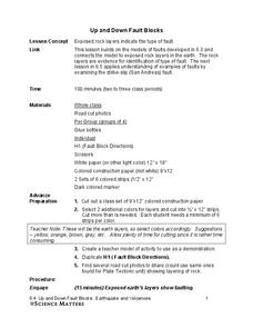
Up and Down Fault Blocks
The Sierra Mountains in Nevada and the Tetons in Wyoming originally formed as fault block mountains. In order to visualize these fault blocks, pupils use construction paper to create layers of earth. They cut the paper models and form...
Science Matters
Earthquakes and Volcanoes Pre-Assessment
See how much your class knows about earthquakes and volcanic activity and how these events shape geologic features. The first lesson in the series of 20 is a pre-test to find out what pupils already know. It includes 10 vocabulary...
Teach Engineering
Identifying Possible Underground Cavern Locations
Teams continue with the Asteroid Impact challenge and determine possible locations to construct their underground shelters. Participants cut scale area models of their shelters from paper and place them on the map to find locations...
Teach Engineering
Earthquakes Living Lab: Locating Earthquakes
There are patterns in nearly everything — even earthquakes. Pairs research current earthquakes to see if there are any patterns. They determine the mean, median, and mode of the earthquake data, along with the maximum and...
Teach Engineering
Earthquakes Living Lab: Geology and Earthquakes in Japan
Sometimes it seems as if earthquakes hit the same places over and over again. Class members study Japan in order to determine why earthquakes keep happening there. Pairs work together to research and try to determine whether there...
Teach Engineering
Earthquakes Living Lab: FAQs about P Waves, S Waves and More
Let's talk about earthquakes .... Using the Internet, pupils research what causes earthquakes, how scientists measure them, their locations, and their effects. The resource is not only informative, but it also builds crucial...
Teach Engineering
Earthquakes Living Lab: Designing for Disaster
Build and design to rock and roll. Pairs research building design in earthquake areas and use computer simulations to see the effects of earthquakes on buildings,. They then sketch and explain a building design that would withstand...
Teach Engineering
Earthquakes Living Lab: Geology and the 1906 San Francisco Earthquake
We can learn from the past to protect the future. Pairs look at two historical earthquakes: San Francisco, Calif., and Kobe, Japan. Pupils compare the two earthquakes and their impacts, then determine how engineers may use the...
Curated OER
Teaching About Plate Tectonics and Faulting Using Foam Models
Young scientists learn about plate tectonics and the three different types of faults (normal, reverse, and strike-slip) using foam models. The activity also covers common types of locations where these faults are found.
Curated OER
Earthquakes: Second Grade Lesson Plans and Activities
What causes earthquakes? Second graders learn about stresses from plate movement with a set of hands-on activities. After tracing fault lines on a map with yarn, class members create a paper plate model of Earth to show its layers...
Curated OER
Plate Tectonics
Help young scientists piece together the theory of plate tectonics with this comprehensive collection of materials. Whether your are looking for worksheets, hands-on activities, or assessments, this resource has everything...
Curated OER
Plotting Earthquakes
Students plot earthquakes on a map. In this activity on earthquakes, students will explore recent earthquake activity in California and Nevada. Students will plot fault lines and earthquake occurrences on a map.
Environment Agency - Abu Dhabi
Earthquakes
What causes earthquakes? What are the effects and impacts of earthquakes? How are earthquakes measured? If there was an earthquake on Mars, would it still be considered an earthquake? Class members will find the answers to these and...
Curated OER
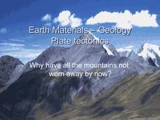
Earth Materials - Geology and Plate Tectonics
Not going into depth on any one topic, this Earth science presentation skims the crust. It touches on the materials that construct the crust and then moves into plate tectonics. This is a useful and colorful note-taking guide for your...
Curated OER
New Zealand South Island Fault Model
Students explore world geography by creating a scientific model in class. In this New Zealand lesson, students research the geography and fault lines of the South Island in New Zealand. Students utilize foam board, arts and crafts and a...


