Information Technology Associates
Information Technology Associates: Quick Maps
View countries of the world. Maps are quick and easy to read. Some are designed to be printed out for coloring and/or labeling.
Other
Mapof us.org: Maps of Mississippi
A collection of interactive maps and primary source documents including atlases and maps of Mississippi.
Other
Encyber Pedia: Atlas
Gives several links to atlases online that contain information on capitals, cities, states, and countries.
Other
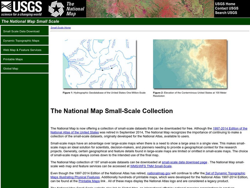
National Atlas of the United States
This National Atlas of the United States site gives maps and atlases online.


