Curated OER
Glaciers Worksheet #2
A map of the Hudson River Valley is exhibited here. Arrows representing glacial striations are spread across the map for learners to analyze. They answer five multiple choice questions in response. The worksheet is a compact review of...
Curated OER
Rocks Worksheet #3
Here is a worksheet in which junior geologists determine where the igneous, metamorphic, and sedimentary rocks might be found on a diagram of rock layers in Earth.s crust. They show what they know through a series of five multiple choice...
Curated OER
Geologic cross section of Manhattan, NYC
Students draw an accurate geologic cross section by using a given data table. They relate the features of the cross section to geologic processes. Students then relate the characteristics of the bedrock to the architecture.
Curated OER
Cookie Mapping
Students study the components of a bedrock geology map through a hands-on activity involving a cookie and graph paper.
Curated OER
Soil Profile
Fourth graders research soil layers and create a soil profile in a jar. In this soil profile lesson plan, 4th graders working in groups, research a given layer of soil, make a 3-5 minute presentation to the class, and complete a...
Curated OER
TE Activity: Choosing a Pyramid Site
Students determine how engineers decide on choices for final designs and sites for construction. They look at a surveyor's report while they evaluate sites where a pyramid could be build. They consider the distance the pyramid would be...
Curated OER
What's The Level?
Young scholars examine the movement of the water table and saturation zones. They describe the movements of the water table and locate the saturation zones. Students identify the function of each saturation zone. They develop a model of...
Science Education Resource Center at Carleton College
Serc: Identifying Evidence for Volcanism in Waite Park Quarries
By looking on the diabase dikes, fractures, rock textures, and composition of the granite bedrock, young scholars in this field investigation will be looking for evidence of volcanism. This particular investigation was written for...
Other
Nova Scotia Dept. Of Natural Resources: Story of Glaciers in Maritime Canada
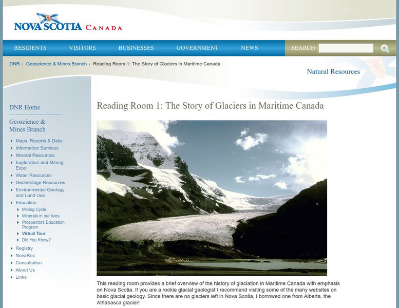
There aren't any glaciers left in Canada's Maritime provinces. All that remains is evidence. Learn about the glacial grooves left behind.
Discovery Education
Discovery Education: The Dirt on Soil
This interactive website explores the various soil layers and introduces you to the lifeforms that live in those soil layers.
Indiana University
Indiana University Bloomington: Cupcake Drilling [Pdf]
For this lesson, students will model geologic drilling using layered cupcakes to learn about rocks below the Earth's surface. Students will locate features on a geologic map and observe cupcake cores to evaluate the scientific techniques...
Science Education Resource Center at Carleton College
Serc: Investigating Geologic Features and Processes: A Field Investigation
In this hands-on field investigation, students will investigate geologic features and processes, make and record observations, then use their observations to develop questions to investigate. They will collect and analyze their own data...
Scholastic
Scholastic: Study Jams! Science: Landforms, Rocks & Minerals: Soil
A slideshow and a short multiple-choice quiz on the topic of soil and its importance to living things.
Ohio History Central
Ohio History Central: Shaping the Land
This site contains maps and other information about the Ohio's topography. Great details about how glaciers played a key role in the formation of Ohio's land, the natural resources left behind, and the natural regions and their differences.
Curated OER
National Park Service: Oregon Caves
Explore the Oregon caves when you visit this informative site. This resource features links to facts, kid's activities, and more.
Geography 4 kids
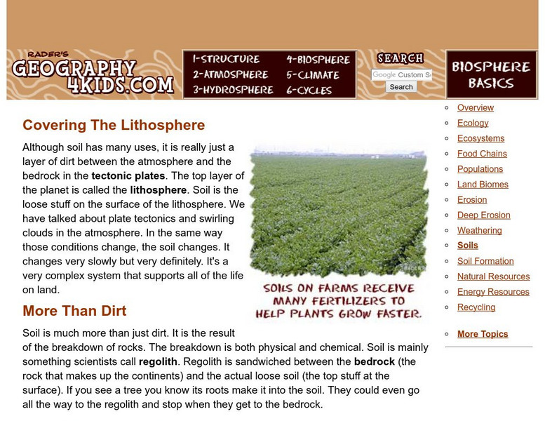
Geography4 Kids: Biosphere: Soils
Get the full picture of what soil is offered by Geography4Kids.
Science Education Resource Center at Carleton College
Serc: Mn Step: Rock Characteristics Exploration at Minnehaha Falls
An outdoor activity where students visit a local area, in this case a falls, and record observations that describe the rocky outcrops and boulders that are there. A good exercise in scientific observation.
PBS
Pbs Teachers: Newspaper Tower
Investigate the basic forces acting on a tower and the importance of foundations.
Enchanted Learning
Enchanted Learning: Soil Layers
Wonderful visual chart showing the six layers of soil. Also includes brief descriptions of the 12 types of soil and soil formation. Worksheet for students to label the layers of the soil is also included.





![Indiana University Bloomington: Cupcake Drilling [Pdf] Lesson Plan Indiana University Bloomington: Cupcake Drilling [Pdf] Lesson Plan](https://d15y2dacu3jp90.cloudfront.net/images/attachment_defaults/resource/large/FPO-knovation.png)
