Curated OER
Geo Jammin By Design: Geo Junction
Students create pictures using a geoboard and straws using the X and Y axis.
Curated OER
The Tale of Scale
Eighth graders, using a range of data, produce three bar graphs for various scales along the y-axis.
Curated OER
High School Mathematics Problems from Alaska: AL-CAN Highway Problem
Students write and solve equations converting between metric and standard measurement as they travel southeast on the Al-Can Highway.
Curated OER
High School Mathematics Problems from Alaska: Firewood Problem
Students write and solve equations for the cost of firewood by the cord, then use this information to develop tables of values and graph their equations.
Curated OER
High School Mathematics Problems from Alaska: Jesse Thomas Moose Hide Problem
Students solve problems about a student earning money for college by tanning moose hides.
Curated OER
High School Mathematics Problems from Alaska: Writing an Equation: Altitude Range vs. Day in Barrow, Alaska
High schoolers answer questions about the altitude range of the sun over time in Barrow, Alaska.
Curated OER
Coordinates
High schoolers use cartesian coordinates (x,y,z) in 3-dimensional space. [Optional: appreciate there exist two ways of defining the z axis, and which of them is used.] They become familiar with the tools and terms used by surveyors.
Curated OER
Plotting with Pennies
Fifth graders use pennies to gather data, organize and order data, graph the data on a stem-and-leaf plot, and evaluate the range, median, and mode of the data.
Curated OER
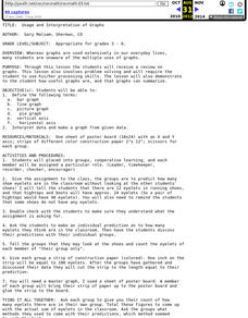
Usage and Interpretation of Graphs
Students review graphing and use processing skills to solve problems.
Curated OER
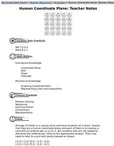
Human Coordinate Plane
Eighth graders form a human coordinate grid to develop knowledge of the placement and meaning of coordinates on a grid. They experience the placements of the x and y coordinates in an ordered pair.
Curated OER
Impossible Graphs
Students distinguish between possible and impossible graphs of functions, and to learn why some graphs are impossible. They have practiced plotting functions on the Cartesian coordinate plane
Houghton Mifflin Harcourt
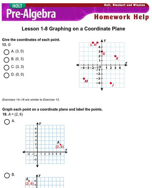
Holt, Rinehart and Winston: Homework Help Independent Practice: Coordinate Plane
Get independent practice identifying points, graphing points and equations on the coordinate plane. Each incorrect response gets a text box explanation and another try. Correct responses are confirmed.
PBS
Pbs Learning Media: Finding the Intersection
In this Cyberchase video, Inez and Digit identify the location of the transformatron using their knowledge of parallel and intersecting lines.
PBS
Pbs Learning Media: The Fastest Broom
The CyberSquad tests which broom can travel the furthest in five seconds in this video from Cyberchase.
University of South Florida
Fcat: Human Coordinate Plane: Teacher Notes
Students participate as a class in this activity using their desks as points on the coordinate plane. The teacher leads them in the activity, increasing their understanding of the characteristics of the coordinate plane.
Shodor Education Foundation
Shodor Interactivate: Lesson: Cartesian Coordinate System
This lesson plan contains a learning exercise for students to familiarize themselves with the Cartesian Coordinate System and its many uses in the world of mathematics. Contains links to explanations of terms and concepts associated with...
Shodor Education Foundation
Shodor Interactivate: Maze Game
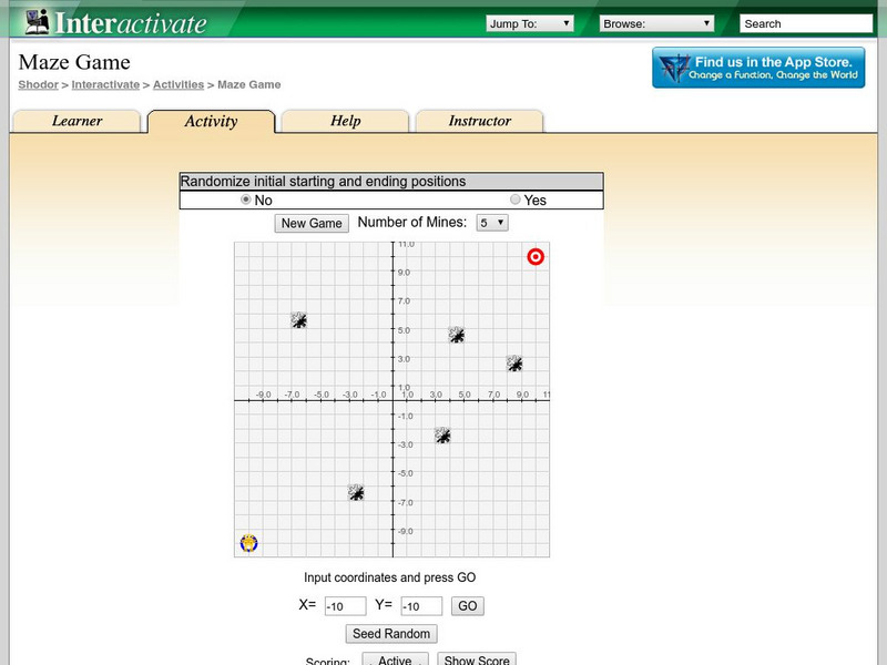
The interactive learning game has students practice their point plotting skills as they move through a mine field. The goal of the game is to get to a target location without crossing a mine.
Shodor Education Foundation
Shodor Interactivate: Ordered Simple Plot
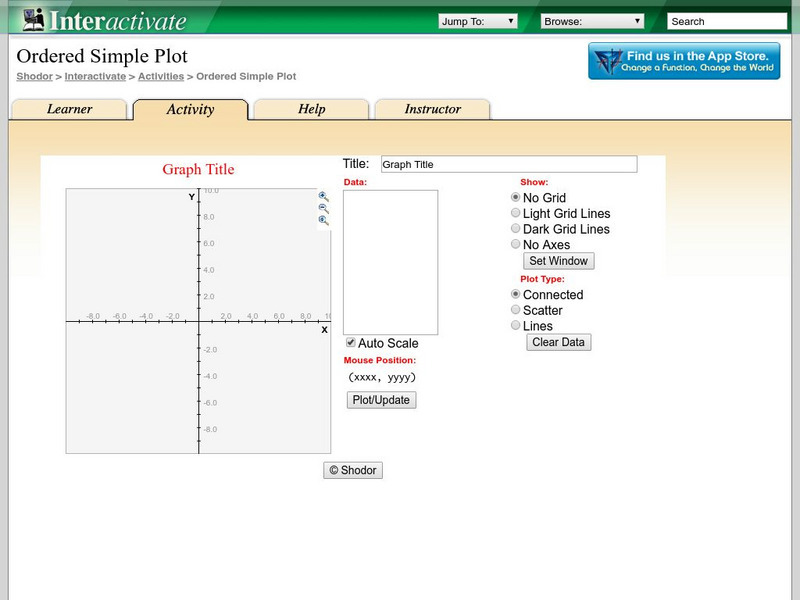
The interactive learning activity allows students to plot multiple ordered pairs. Teacher resources are included.
University of Texas
Inside Mathematics: Granny's Balloon Trip [Pdf]
This task challenges a student to use knowledge of scale to organize and represent data from a table on a graph.
PBS
Pbs Mathline: Fill 'Er Up Lesson Plan [Pdf]
Learners will pour liquids into different sized containers to test their predictions as to the amount each will hold. Printable lesson.
Other
The mathlab.com: Practice Activities
This site contains activities that will help students learn concepts dealing with expressions, equations, and the coordinate plane.
McGraw Hill
Glencoe: Self Check Quizzes 2 Coordinate Plane
Use Glencoe's Math Course 2 randomly generated self-checking quiz to test your knowledge of locating points on the coordinate plane. Each question has a "Hint" link to help. Choose the correct answer for each problem. At the bottom of...
McGraw Hill
Glencoe: Self Check Quizzes 3 Distance on the Coordinate Plane
Use Glencoe's Math Course 3 randomly generated self-checking quiz to test your knowledge of finding distances on the coordinate plane. Each question has a "Hint" link to help. Choose the correct answer for each problem. At the bottom of...
McGraw Hill
Glencoe: Self Check Quizzes 1 Coordinate Plane
Use Glencoe's randomly generated self-checking quiz to test your knowledge of locating points on the coordinate plane. Each question has a "Hint" link to help. Choose the correct answer for each problem. At the bottom of the page click...


