National Park Service
A Peace Park
Piece together American and Canadian culture by learning about peace parks! Scholars discuss differences between Waterton Lakes National Park and Glacier National Park as a group. The newly-informed pupils answers questions about this...
Curated OER
Canada: History Review
How much do you know about Canadian history? If you're from Canada you may know a lot! Review major Canadian battles, famous politicians, and provinces with your class. You'll find simple yet informative information, images, and a...
Curated OER
Canadian Provinces Quiz
In this online interactive geography quiz activity, students examine the map that includes 13 Canadian provinces. Students identify the names of the provinces in 3 minutes.
Curated OER
Canada Outline Map
In this Canada outline map worksheet, students make note of the political divisions of the provinces and territories of the nation.
Curated OER
Canada
In this geography worksheet, 5th graders focus on the provinces of Canada. Students complete 14 single digit addition problems and color each province the correct color according to the given key.
Curated OER
What Do You Bring To The Dance?
Students appreciate the contributions of every Province of Canada. They develop information links with fellow Canadians across the country. They focus on the dynamic interplay between the regions and the federal government.
Other
Western Washington University: Provinces Not States
A good activity designed to get students thinking about differences between states and provinces. While designed for US students, Canadian students may also find them of use.
Other
Canadian Tourism Commission: Maps canada.travel
This interactive map is an excellent student and teacher resource. Select Places to Go to show regions, provinces or territories and capital cities. Hover over the area to get links to more detailed information. Get up to the minute...
Other
Office of the Prime Minister: Capital Scramble
Drag the provinces and territories to their locations on the map of Canada in this interactive game. Then unscramble the letters to identify the capital cities of each of the provinces. A paper pencil version may be printed.
University of Texas at Austin
University of Texas: Perry Castaneda Library: Canada Maps
The University of Texas at Austin provides an extensive collection of maps relating to Canada. Links are given for maps of Canada on many other web sites.
Government of Alberta
Government of Alberta
The Alberta government homepage offers links to current and historical information about the government of Alberta, its structure, policies, and initiatives.
Other
Halifax Regional Municipality
Almost everything you'd want to know about Halifax can be found here. There is information for residents, visitors, businesses, and government.
Other
Province of Manitoba Canada
By following the links on the Government of Manitoba's homepage, students can learn about the government, history and heritage, climate, and geography of Manitoba, as well as current initiatives and issues facing Manitobians.
Other
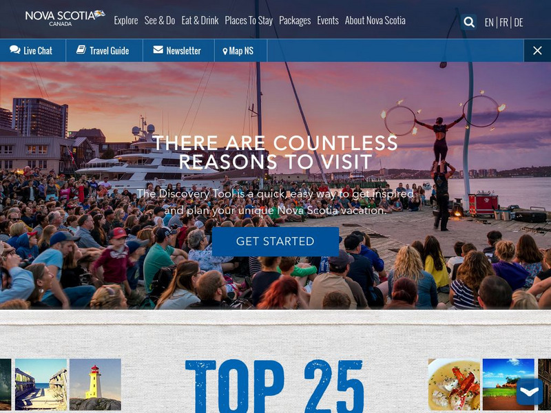
This Is Nova Scotia
This is the home of Nova Scotia's Official Tourism Website. Find much useful information about this beautiful Canadian province including learning about its history, culture, music, climate, and geography. Capture its charm while viewing...
Other
Canadian Heritage: Provincial and Territorial Symbols
By following the hyperlinks on the image map of Canada, one can learn about the symbols of each province and territory, as well as connect with each of provincial and territorial web pages.
Other
Iqaluit Travel and Tourism
Primarily a travel guide and tourism resource for Iqaluit in the Canadian Province of Nunavut. Offers maps, photos, and some information on places and sights.
Other
Vancouver Travel and Tourism
This is a destination site for travel to Vancouver, British Columbia. Primarily a tourism portal, it does offer maps, videos, attractions, and some basic statistical facts.
Curated OER
Map of Canada
A brief summary of each of the Canadian provinces and territories including basic statistics, information about the province, as well as famous individuals from that province or territory.


