Polar Trec
Swan Savvy
Just like so many other birds, swans migrate during the cold winter months. Your class can gain a better understanding of migration and bird life as they act out some of the activities common to the tundra swan. They make a nest, sit on...
Curated OER
The Seven Continents Scavenger Hunt
Who doesn't enjoy an engaging scavenger hunt? Here, scholars listen to, and discuss, the informative text, Where is my Continent? by Robin Nelson. They then explore the seven continents and four major oceans using Google Earth.
Curated OER
What Kind of Vessel Are You?
This is a strange question; but what kind of vessel would you be and why? After examining images of a large Inca jug, the class sets to writing a creative narrative that answers that very interesting question. They start by researching...
Curated OER
Recycle, Reduce, Reuse and Save a Tree
Young scholars examine how to save and protect trees. For this conservation lesson, students read books about the usefulness of trees, write ideas in their journals about how trees can be used, and make a book of ways to protect trees.
Curated OER
Introduction to Oceans
Students complete a variety of activities in preparation for a unit on oceans. They discuss their own proximity to the ocean, identify and name the oceans on a globe, and in small groups identify facts about a selected ocean. Students...
Curated OER
Building Bridges for Young Learners- School
Young scholars examine the purpose of education. In this schooling lesson, students read a letter from a child in Uzbekistan. Young scholars compare and contrast their schooling to children around the world.
Curated OER
Diversity
Students work in groups to research and prepare an oral report about a region. In this regions lesson, students find out about the geography, population, state capitals, and landmarks. Students assign attributes to the people based on...
Curated OER
environment: Fresh and Saltwater Habitats
Young scholars compare and contrast fresh and salt water coastal environments. After describing how sea animals adapt to their habitats, they design a variety of sea creatures and explain how the adaptations aid in the animals'...
Curated OER
A-Z List
Students practice using vocabulary terms about the Louisiana Purchase by creating a picture dictionary, an ABC book of terms, a word sort, or a game. Each project should include people, places and terms as they relate to the Louisiana...
Curated OER
An Introduction to Jan Brett
Students explore the concept of Jan Brett. In this author study lesson, students are introduced to several Jan Brett books with visuals, listening centers, and video. Students browse the internet in search of information about Jan Brett.
Curated OER
Texas
Students draw the outline of the Lone Star State, label the state signs (bird, flower, tree), and sing the state song.
Curated OER
Travel to Mesoamerica
Students research books, watch movies, and look on the internet to find information on ancient America, Mexico, and Central America. In this Mesoamerica lesson plan, students participate in a social studies unit on North America of the...
Curated OER
Learning About Our World
Students explore their world using the book "This is the Way We Go to School." They predict information about the story based on the title and pictures. Students label a world map with the names of continents and oceans. They write a set...
Curated OER
Native Americans of the USA
Students, in cooperative groups, research a variety of Native American tribes on the Internet and complete corresponding activities. They participate in a play about Native Americans by Sandra Widener.
Curated OER
Building Bridges for Young Learners - Self
Students explore self analysis by investigating other cultures. In this personal characteristics lesson, students utilize the Internet to read about a child from Niger, and many other students around the globe. Students compare their own...
Curated OER
Discovering Dinosaurs: Planning your Summer Vacation
Students utilize the features of the Atlas of Canada website to plan an imaginary vacation from Victoria, British Columbia to Drumheller, Alberta.
Curated OER
Routing Explorers
Pupils read excerpts from an explorer's journal and then become investigators and navigators themselves. Students answer questions about the difficulties and time it took for the explorers to travel from Washington to New Orleans and...
Curated OER
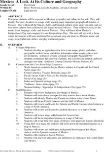
Mexico: A Look At Its Culture and Geography
Students canvass the Mexican geography, culture, dress, language, crafts, and traditions in this unit of eight lessons. The Mexican Independance Day is compared to our own and the contributions of the Mayan, Azetec, and Spanish are...
Curated OER
History of World Religions
First graders listen to a variety of Noah's Ark, based on the story in the Old Testament. They hear another "flood story" for comparison.
National Geographic
National Geographic: Mapping the Classroom
Learning to use and create maps builds students' spatial thinking skills as well as language skills in the early years. In this instructional activity, students practice using the language of location and then apply that language when...
C3 Teachers
C3 Teachers: Inquiries: Maps and Geography
A comprehensive learning module on maps that includes three supporting questions accompanied by formative tasks and source materials, followed by a summative performance task. Students learn about map symbols, cardinal directions, and...
National Geographic
National Geographic: Places in the Park
Modeling the use of maps in and out of school can help young scholars to recognize the value of maps and gain confidence with them. Using maps of places that are familiar to students will strengthen their spatial thinking skills before...
National Geographic
National Geographic: The Underground Railroad Route
A classroom activity enhancing study about slavery in the United States focused on the Underground Railroad. Students will explore the slave and free states and look at routes the Underground Railroad took to help slaves escape to...
Other
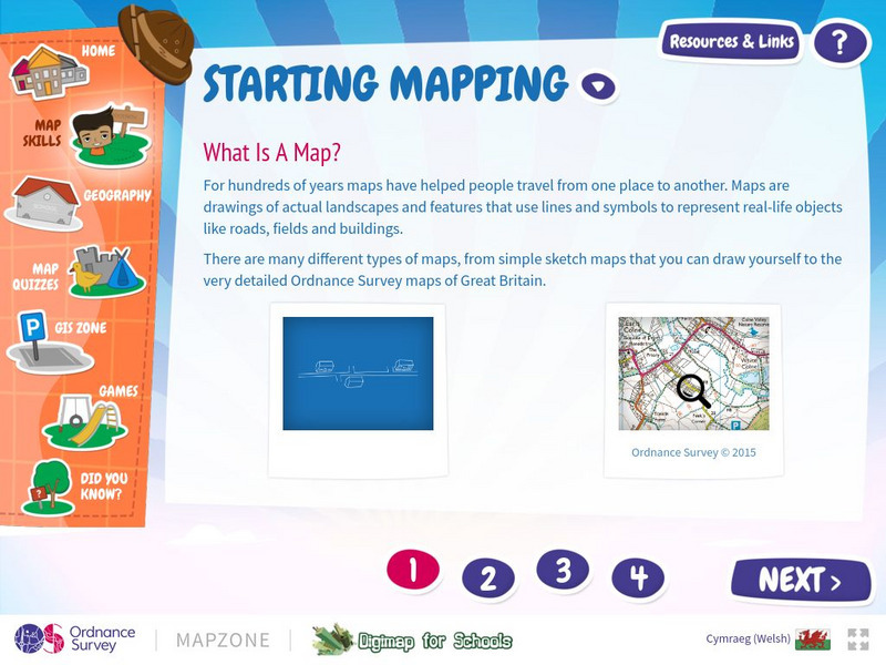
Map Zone: Starting Mapping
Discover the basics of mapping by reading about what maps are, what they provide, how to fold them, and how to use them properly. Content focuses on Great Britain.


