Curated OER
Afghanistan and The Breadwinner
Students examine the use of the Hindu Kush mountains by explorers and traders. Using Afghanistan as an example, they research how different events can effect human settlerment patterns. They discuss how the physical characteristics of...
Curated OER
Traveling with Flat Stanley
students use the internet to gather geographical data about a state of their choice. Using new vocabulary, they describe the features present in the state, its climate and attractions. They develop a PowerPoint presentation to share...
Curated OER
Deep Blue: Exploring the Deep Ocean
Students examine landforms. In this social studies lesson, students bounce a beach ball around in order to discover that seventy percent of the Earth is covered in water. Students
Curated OER
Greetings!
Students investigate the ways in which people greet each other. They read a book about greetings, participate in a role-playing game about greetings, interview family members about greeting styles and report their observations to the class.
Curated OER
Population Densities
Students explore biological impact by completing a worksheet in class. In this animal population lesson, students utilize river rocks and jars to conduct a coqui frog population role play activity. Students define a list of amphibian...
Curated OER
States/capitals
Students identify the geographic locations of each state of the United States. Working cooperatively, they put togehter a giant puzzle of the United States using their individual pieces.
Curated OER
A Picture Is Worth A Thousand Words
Students complete a population pyramid for a city they are studying. They may complete a population pyramid for their city and another one for the country in which the city is located. They compare and contrast the results of the two...
Curated OER
Hole Hole Bushi
Fourth graders play a written rhythm pattern. They state when a rhythm pattern varies from a given pattern by listening to an ostinato. They state reasons why people migrate to different lands.
Curated OER
America the Beautiful
Young scholars listen to a read-aloud discussing the landmarks of the United States. In pairs, they use the internet to research a landmark of their choice. They create a visual aid to be given with a presentation sharing the...
Curated OER
Maui: People, Places and Patterns
Students predict patterns of growth on the island of Maui, complete a research paper on Maui using one of the geographic perspectives, and share their findings with others through an oral and written report.
Curated OER
Explore the World: Create-Your-Own-Artifact
Students examine the cultures of different countries other than their own. They select a country they are interested in and research their lifestyles. Using clay, they create a model of one aspect of the new culture of their focus. ...
Curated OER
Mother's Day Trip
Help your class develop their public speaking skills. They write original scripts for informative infomercials, plays, or poetry. They work to present their information with purpose.
Curated OER
Telling Time in Different Time Zone
Fourth graders create clocks and complete small group activities to represent the six different times zones in the US. Using small paper plate clocks, 4th graders visually demonstrate the differences in these time zones.
Curated OER
Diversity
Students work in groups to research and prepare an oral report about a region. In this regions lesson, students find out about the geography, population, state capitals, and landmarks. Students assign attributes to the people based on...
Curated OER
PET Review
In this language review instructional activity, students read about James Cook and complete a fill in the blanks inside the paragraphs about him, read about the western alphabet and complete multiple choice questions, and more. Students...
Curated OER
Name The States Worksheet 3
In this states learning exercise, students analyze the shape of 5 US states. Students identify each state and write the name of the state and its postal abbreviation.
Curated OER
States in the USA Quiz
In this online interactive geography quiz worksheet, students respond to 50 identification questions about the states in the United States of America. Students have 4 minutes to complete the quiz.
Curated OER
World Map and Globe
Students locate and identify continents and countries. In this world map lesson, students locate and identify one country on each continent.
Curated OER
Hectic Hurricanes!
Students determine what they know about hurricane formation. They experiment to explain hurricane formation and track a hurricane that forms in the Caribbean Islands.
Curated OER
The Hawaiian Islands
Fourth graders present information of people, places, and environments. They collect, organize, and analyze date to use with these representations.
Enchanted Learning
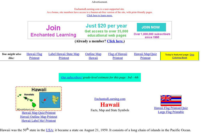
Enchanted Learning: Hawaii Facts, Map, and State Symbols
This is a colorful collection of maps, facts and symbols of Hawaii. Also includes the Hawaiian flag.
University of Hawai'i
University of Hawaii: Time Zones
This site is provided for by the University of Hawaii. Students will learn about the purpose of time zones and then use time zone maps to calculate the time and day in a specific area.
E-learning for Kids
E Learning for Kids: Science: Hawaii: What Are the Life Processes in Animals?
Kamoku is a boy from Hawaii who is interested in the seven life processes. Do you know what these are? Join Kamoku and discover them with him.
E-learning for Kids
E Learning for Kids: Science: Hawaii: What Are the Life Cycles of Some Animals?
Olina is playing on the beach with the animals. Join her and find out more about life cycles and animals?
Other popular searches
- Detailed Map of Hawaii
- Map of Hawaii Cities
- Map of Hawaii Citeis
- Hawaii Agriculture Map
- Map of Hawaii Imperialism


