Curated OER
Desert Views - First Impressions: Travelers on the Gila Trail
Students draw animals and plants that are described to them as they read passages of people who traveled across the Gila Trail in the Southwest. In this Gila Trail lesson plan, students also write a letter describing a plant or animal in...
Curated OER
Native Americans and Topography at Rose Bay
Students visit a wetland ecosystem. While they are there, students explore how to read topography maps of Rose Bay.
Curated OER
Surprise at Pearl Harbor
Students review the concept of courage and relate it to their daily life. As a class, they are introduced to the events of December 7, 1941 at Pearl Harbor. Using a map, they locate Hawai'i and label the islands. They use the internet to...
Curated OER
The Mountain Community: Why Flagstaff?
Students identify geographical features that hindered or promoted settlement in the city of Flagstaff, Arizona. In this settlement lesson plan, students write a summary of what they learned and identify geographical features on a map.
Curated OER
Cranes, Crosswalks, and Big Gulps
Students watch a video and answer questions based on wildlife jobs. In this wildlife lesson plan, students learn that biologists don't just play with animals but that there is a lot of study involved.
Curated OER
Charles Lindberghs's Flight to Paris
Students practice map skills. In this map skills lesson, students locate the cities of New York and Paris on a map. Students read about the flight made by Charles Lindbergh in May 1927 from New York to Paris. Students answer 8 questions...
Curated OER
Culture, Climate, and Current Events
Students decide on a country to research as a class, keeping a list of the countries already being researched. Using the internet, they research the culture, climate and current events of the country. They end the lesson plan by...
Curated OER
The Greatest Survival Story of All Time
Students use the Internet to read about an explorer's survival in the Antarctic. They try to find a better route for him to have taken.
Curated OER
Continents of the Globe
Students identify the continents on the globe. In this map skills lesson, students define the term "continent" and identify the seven continents on the globe.
Curated OER
Country Mouse, City Mouse?
Students recognize the characteristics of a rural area. They analyze land use to determine whether the map is of a rural (country) area or an urban (city) area.
Curated OER
Plate Tectonic - Volcanoes (1)
Students learn the different shapes of Volcanoes and discuss why volcanoes only have a few shapes.
Curated OER
The Twelve Months: A Slavic Cinderella Variant
Learners locate Slavic countries and identify a few characteristics of those countries. They read and/or listen to the Slavic tale, "The Twelve Months," and compare this version with another Cinderella story.
Curated OER
Muppet Treasure Island
Students watch the movie "Muppet Treasure Island" and then taking on roles of characters in the movie answer navigational questions to try discover the location of a treasure hidden by the teacher.
Curated OER
News to the Core Reported by Very Special Students
Students create news articles that help them build their knowledge, skills, and academic confidence. In this special education lesson, students use previous knowledge to write a newsletter and demonstrate their understanding of various...
Curated OER
Jr. Chef Club Delightful Desserts
Students identify the fat content in foods. For this nutrition lesson, students review the food pyramid and identify foods that are low in fat. Students create a low-fat dessert by using fruit.
Curated OER
Plate and Planet
Students investigate the health hazards of modern agriculture and how we can choose better food options. In this healthy eating lesson, students identify different indigenous people in photographs and discuss what they might eat....
Curated OER
It's A Jungle Out There!
Students report on an animal according to its appearance, habitat, and characteristics.
Curated OER
Visit My Class Wikis
Students visit the links on the blog site to learn about class wikis. In this technology integration activity, students visit the links to view class wikis.
Curated OER
Great Explorers
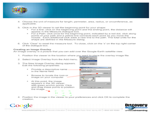
Students research an explorer and present a multimedia presentation on the explorer. In this United States explorers lesson, students watch a video about Lewis and Clark. Students use Google Earth to study their journey and keep a KWL...
Quia
Quia: Geography World: Landform Concentration
Play this fun game of Geography Concentration to practice your geography vocabulary and increase learning. After each game the cards change and new words and definitions are introduced. Users must enable JavaScript.
Quia
Quia: Geography World: Earth's Physical Features Games
This site contains matching, concentration, flash cards, and word search games from landform vocabulary. Excellent games which contain more than one version of each game to reinforce all vocabulary taught.
Quia
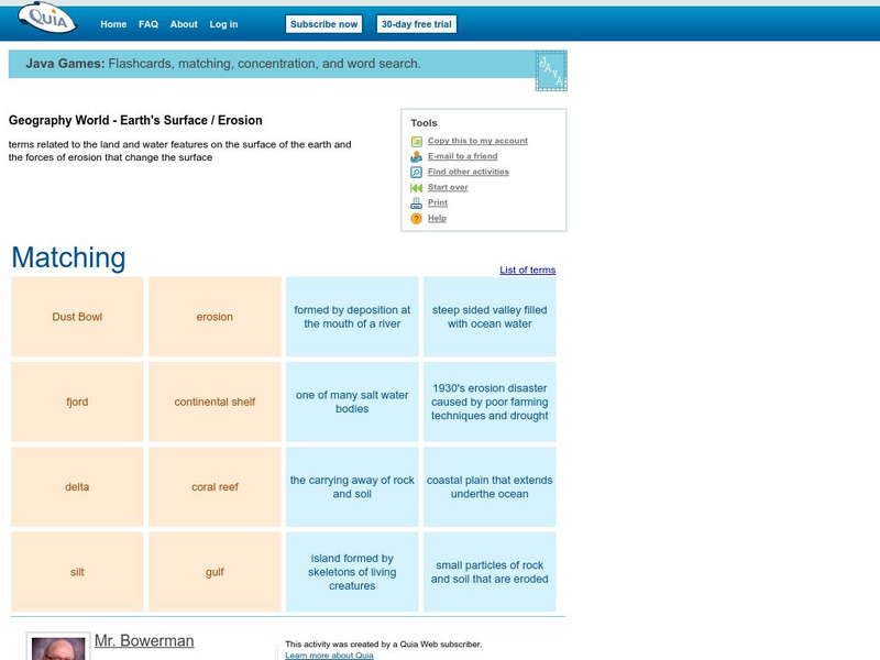
Quia: Geography World: Earth's Surface Matching Game
Match the vocabulary term with the definition to reinforce and practice your vocabulary terms. View the list of terms before beginning to become familiar with the words and improve your score. Users must enable JavaScript.
Other
Boggle's World Esl: Word Searches
A collection of more than 40 printable word search activities designed for ESL students. Searches are organized by level of difficulty (easy, intermediate to difficult) and cover a wide variety of themes, e.g., colors, verbs, the five...
ClassFlow
Class Flow: How to Babysit an Orangutan
[Free Registration/Login Required] This flipchart is based on the story, How to Baby-sit and Orangutan. Focus on the spelling words, vocabulary, some geography of the location of orangutans. This is a fun flipchart that your students are...


