Radford University
Google Earth Trip
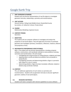
Travel the world instantly—and learn about math along the way. Using pictures of famous places taken from Google Earth, scholars look for parallel and perpendicular lines based on slope and angle measurements. They also calculate...
Teach Engineering
Where Are the Plastics Near Me? (Mapping the Data)
The last activity in a nine-part series has teams create a Google Earth map using the data they collected during a field trip. Using the map, groups analyze the results and make adjustments to the map to reflect their analysis. A short...
Curated OER
The Seven Continents Scavenger Hunt
Who doesn't enjoy an engaging scavenger hunt? Here, scholars listen to, and discuss, the informative text, Where is my Continent? by Robin Nelson. They then explore the seven continents and four major oceans using...
Curated OER
Create Your Own Country Project
Young scholars demonstrate their knowledge of geography with this fun, collaborative social studies project. Working in small groups, students develop their very own countries, writing descriptions...
Montana State University
Meet Mount Everest
Learning about one landform might seem boring to some, but using the resource provided practically guarantees scholar interest. The second in a sequential series of eight covering the topic of Mount Everest includes activities such as a...
Curated OER
Convergence with The Cay: Exploring Geographic Concepts Wrapped in a Story
Here's an awesome unit that uses The Cay as the anchor text. The 16-page packet is loaded with teaching ideas, activities, and suggested adjustments.


