Curated OER
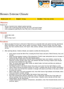
Biomes: Extreme Climate
Middle schoolers create a web connecting global warming, the Arctic, and wold climate. They write a paragraph explaining the role of the Arctic in world climate.
Curated OER
TE Lesson: What to Wear? What to Drink? Weather Patterns and Climatic Regions
Students examine how climate affects lifestyle, clothing choices, food, and water sources. They explore climatic regions such as tropical, desert, coastal, and alpine situations. They look at the longitude and latitude, land features and...
Curated OER
Using Vegetation, Precipitation, and Surface Temperature to Study Climate Zones
Middle schoolers begin their examination of the climate zones found around the world. Using a software program, they identify the relationship between the vegetation, climate and temperatures of the different zones. They also plot...
Montana State University
What's the Weather?
How many jackets do you need to stay warm and climb Mount Everest? An informatie resource covers the topic of Mount Everest, the resource helps young scientists discover the difference between climate and weather. Activities include...
Curated OER
Is Portland, Oregon Experiencing Global Warming?
Students use data to determine if the climate in Portland has changed over the years. In this weather lesson students complete line graphs and study long wave radiation.
Curated OER
The Crash Scene
Fifth graders explore geography by participating in a mapping activity. In this engineering lesson plan, 5th graders identify the differences between latitude and longitude and practice locating precise points on a globe or map. Students...
University of California
Seasons Lab Book
Unlock the mystery behind seasonal change with a collection of worksheets and activities. Whether they are drawing pictures of Earth's orbit around the sun or graphing the temperature and daylight hours of different locations from around...
Curated OER
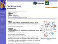
World Wide Winds
Students recognize that global winds move in specific directions in specific latitudes and describe that in a written form. They relate the motion of the wind belts to historical navigation.
Curated OER
Climate in the Western Regions
Students examine the interactions of the Earth's systems and other objects in space. In this climate change lesson students study the pros and cons of different climates and what their preferences are.
Curated OER
How Does Climate Affect Your Environment?
Pupils access the Global Sun Temperature Project website and research the relationship between the location and climate of a participating school to its building structure. They consider how climate affects the type of structures humans...
Curated OER
Why Here? Why Not There?
Young scholars analyze a map and graph information on eleven countries. Using the characteristics of the countries, they determine if they should host the summer or winter Olympic games. After viewing a video, they locate the latitudes...
Curated OER
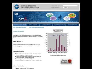
Creating Climographs
Students use satellite data to compare precipitation and surface temperatures on different islands. In this satellite lesson students create graphs and explain the differences between weather and climate.
Curated OER
Location of Cities 201
Students work in pairs to locate the ancient cities on a world atlas using the longitude and latitude measurements. They examine the physical and human futures that explain their locations.
Curated OER
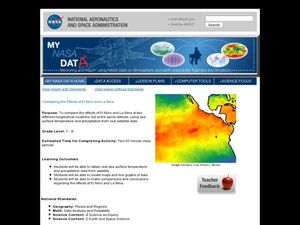
Comparing the Effects of El Nino and La Nina
Students examine the differences between an El Nino and La Nina year. For this investigative lesson students create maps and graphs of the data they obtained.
Curated OER
The Solstices
Compare surface temperatures when the solstice occurs in the different hemispheres. Young scientists draw conclusions from their investigation of data collected using spreadsheets and a globe.
Curated OER
How Does the Earth's Energy Budget Relate to Polar Ice?
Students use satellite data to see how radiation budget relates to the ice that is present in the North. In this energy lesson students correlate data to see a relationship.
Curated OER
Local Weather And Location
Students explain how uneven heating of Earth affects wind and water currents. They describe the limits on current technology in predicting weather and how the Water Cycle is related to local weather.
Curated OER
Search for Ice and Snow
Students use satellite images to locate areas of ice and snow on the globe. They create a table showing the information they gathered. They present their information to the class.
Curated OER
Ocean Currents
Students examine ocean currents. In this investigative lesson, students examine ocean currents and the relationship between the ocean, our atmosphere, and the weather. They will create a model of an ocean current.
Curated OER
The Many, Varied, and Unusual Places and Things on Earth
Students discover how energy flows through communities because of the relationship between producers, consumers and decomposers. Examining various ecosystems, they identify the materials that cycle continuously through them. They label...
Curated OER
Our Fifty States
Seventh graders identify and locate all fifty states in the United States and their capitals. Individually, they research one state identifying when it became a state, its motto, song, flower and nicknames. To end the lesson, they are...


