Curated OER
Trout Pond
Middle schoolers demonstrate the use of iteration, recursion and algebra to model and analyze a changing fish population. They use graphs, equations, tables, and technological tools to investigate the effect of varying parameters on the...
Curated OER
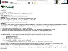
A Solar Project
High schoolers make predictions about the global temperature of the earth and to see how this is dependent upon a number of variables. Students visualize how changing parameters can impact the global temperature of the earth.
Curated OER
Unit 3: Scientific Writing
Write-on! Demonstrate a writing model and support learners as they write an informational essay on a water resource issue of your (or their) choosing. The lesson plan provides a well-scaffolded summative writing experience that wraps up...
Curated OER
How Texas is Planning To Manage Its Water
Students research water management strategies in Texas. They analyze projected demand for water in the year 2050, interpret graphs and tables and then discuss the data as part of a written report. They research and map the locations of...
Curated OER
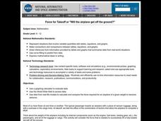
Math: Will The Airplane Get Off the Ground?
Students use data from real-life models to calculate and compare the force required for an airplane of a given weight to become airborne. They use a graphing calculator to evaluate data and use the World Wide Web to access data.
Curated OER
Wing Area Effects Problem Set
High schoolers read an explanation from a NASA Web-based textbook on lift and an explanation on the FoilSim software package given below. They use FoilSim to evaluate the relationship between wing area and lift.
Curated OER
Water: On the Surface and in the Ground
Students explore the differences between surface water and ground water. They collect data using maps and graphs and investigate a Texas river basin and a nearby aquifer. They complete a written report including maps and data regarding...


