Curated OER
Mapping the News
Students explore cartography. In this map skills and map making lesson, Students work in groups to create wall size world maps including legends, compass roses, latitude and longitude, and physical features. Students collect...
Curated OER
Principles of Flight: Where are We?
Young scholars explore the concept of topographical maps. In this topographical map lesson, students discuss how airplanes know where to fly. Young scholars use topographical maps to simulate a field trip on the computer.
Curated OER
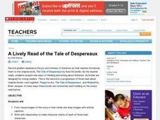
Lively Read of the Tale of Despereaux
Students create a character map of the main characters in The Tale of Despereaux. After reading the text, students create a character chart based on information they gleaned from the story. They use this information to write a letter...
Curated OER
Maps, Charts, and Graphs
Students define key geographic terms and track a hurricane on a map. They examine various types of maps and find locations on them,including rivers, cities and mountains.
Curated OER
Analyze This
Students gain practice in the analysis of various types of graphs common in daily life. These examples often use graphic images like charts, graphs, tables, and pictures to supplement learning.
Curated OER
Mapping West Virginia
Fourth graders explore West Virginia. In this Unites States geography lesson, 4th graders discuss the type of land and the cities in West Virginia. Students create two overlays, with transparencies, that show the natural land and the...
Curated OER
Maryland’s Chesapeake Bay Landscape Long Ago and Today
Combine a fantastic review of primary source analysis with a study of Captain John Smith's influence on the Chesapeake Bay region in the seventeenth century. Your young historians will use images, a primary source excerpt, and maps...
Curated OER
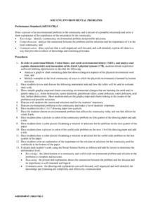
Solving Environmental Problems
Students identify a community environmental problem and possible solutions. They analyze the connection between the problem and the solutions and the importance of it to the local community. Students then draw a picture of an...
Curated OER
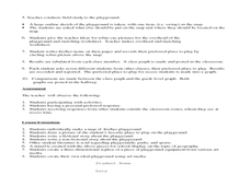
Where Oh Where on the Playground, Do I Love To Be?
Students listen to poem, Where Oh Where On the Playground, Do I Love to Be?, and practice reading, interpreting, and making maps, charts, and graphs in surveying classmates and discussing their favorite places to play in school playground.
Curated OER
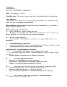
Finding the Story Setting
Second graders discuss important things to know when reading stories, identify setting in variety of stories, create story map to record information as they are reading, state setting in their own words, discuss whether they thought...
New York State Education Department
US History and Government Examination: August 2017
Developing a test that uses primary sources to assess class members knowledge of the history of the United States is no easy task! Save yourself the time and stress and use a final exam that includes essay, multiple choice, and short...
Curated OER
Oregon Trail Landforms
Fourth graders explore landforms located along the Oregon Trail. They discuss the significance of the Oregon Trail, identify visual landforms, and explain the definition of each one. Students complete worksheets, color, and label maps.
Curated OER
How's the Weather?
Students explore earth science by researching the Internet. In this weather pattern lesson, students utilize the website weather.com to analyze the weather in different geographic locations. Students view charts and graphs based on...
Curated OER
Debate the Daily Dilemma
Have your class practice their persuasion skills by participating in a class debate. They will discuss a dilemma and detail each point of view. Divided into both sides of the argument, they work in groups to create a well-rounded...
Curated OER
Cartogram of the Great Compromise
Students create cartograms of populations during 1790.


