Curated OER
United States Map- State Capitals
Learners explore map skills. In this state capital lesson, students view a United States Political Map and identify and use post-it notes to label the state capitals.
Little 10 Robot
Geography Drive USA™
A trivia-style virtual road trip in which the player's car is moved from state to state as questions are correctly answered. Ideally, a player would learn about different states by reading the simple brochures available in the...
Curated OER
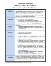
States and Capitals of the United States
Students label states and capitals on a United States map and complete research on one of the states. In this states lesson plan, students fill in the states on blank maps.
Curated OER
State Capitals Fun
Third graders study the capitals of each state. In this social studies lesson, 3rd graders use a map of the United States to identify and locate each state's capital city. Students discuss map symbols used to identify capital cities.
Curated OER
What State Are You In?
Students identify the major U.S. cities. In this U.S. geography lesson plan, students work in pairs and use game cards to name various cities in the United States.
Curated OER
States and Capitals, Mountains and Rivers
Students identify geographical locations in the midwestern United States. In this geography instructional activity, students identify 12 states and capitals and geographical features in the region by using U.S. maps. Students use blank...
Curated OER
Basic U.S. Geography
Provide your 11th graders with a basic understanding of U.S. Geography. They label the state, regions, and boundaries found in the contiguous U.S. as well as Hawaii and Alaska. Then, they complete two Internet related activities.
Curated OER
Music to Learn Countries and Capitals Around the World: Learning Countries and Capitals in Asia
Pupils use musicto explore the countries and capitals of Asia.
Curated OER
Naming the States of the U.S
Fifth graders study the 50 states on a map. In this social studies activity, 5th graders identify the names of the states and location. Additionally, students work in small groups to name and locate as many states as they can on a blank...
Curated OER
The 50 States
Fifth graders use maps and music to learn the 50 states. In this US Geography lesson, 5th graders map out a region of the United States and practice singing the song, The 50 States that Rhyme.
Curated OER
Country Capitals
Students locate country capitals on a world map. In this map skills lesson, students review the definition of the word country and discuss what a capital is. Students locate and label capital cities on a world map using a map marker.
Curated OER
Africa: Political Map
Students create a political map for Africa. In this country identification lesson, students locate Africa on a globe and discuss some of its major countries and bodies of water. Students complete a political map of Africa and test...
Curated OER
Learning the 50 States
Students become familiar with all 50 states over the course of ten days.
Curated OER
Country Capitals
Students define the meaning of country capital. In this country capital lesson, students identify the symbol and find country capitals. Students locate and label capital cities on a map and insert the capital symbol.
Curated OER
Location, Location, Location!
Twelfth graders locate cities, states and countries on maps. They use the cardinal directions to locate places on maps. They describe where they were born by giving clues without naming the exact state. They trade papers and try to guess...
Curated OER
Globe Skills Lesson 11The Vietnam War
Students develop their globe and map skills, In this geography lesson, students examine the Vietnam War as they complete an activity that requires them to plot latitude and longitude.
Curated OER
Globe Skills Lesson 1 Some Early American Cultures
Young scholars apply their knowledge of geography. In this geography skills lesson, students read brief selections regarding early Americans. Young scholars respond to the questions included in the self-guided map skills lesson.
Curated OER
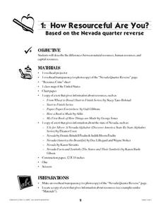
How Resourceful Are You?
Students examine the Nevada state quarter and discuss items on the quarter, categorizing them as natural resources, human resources, or capital resources. They paste other coins into correct categories depending on the resources depicted...
Curated OER
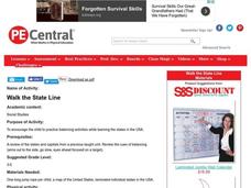
Walk the State Line
Students practice balancing activities while learning the states in the USA.
Curated OER
Countries of South America
Students focus on the geography of the countries of South America. Using a map, they identify the European countries who claimed the South American countries and research the influences they had on South America. To end the lesson,...
Curated OER
Get Ready for the Great Outdoors!
Young scholars discuss what is a map and what they already know about maps. They brainstorm together to compile a list of responses for the board and observe a map of the United States, including states, capitals, and some of the...
Curated OER
Famous Hoosiers
Fourth graders make a timeline about a famous person from Indiana. In this famous Hoosiers lesson, 4th graders watch a PowerPoint presentation about David Letterman's life. They make a timeline using information from the presentation on...


