Curated OER
The Caspian Sea
In this comprehension and geography learning exercise, learners read an article about the Caspian Sea, identifying where it is located and what countries surround it. Then they describe three parts of the sea, what are tributaries, and...
United Nations
United Nations: Cartographic Section: Central Asia [Pdf]
The countries of central Asia are shown on this map from the United Nations. It also shows the major rivers and cities.
Curated OER
University of Texas: Turkmenistan Shaded Relief Map
This relief map of Turkmenistan from the Perry Castaneda collection shows the topography of the country along with its bodies of water.
Curated OER
University of Texas: Iran: Regional Physiography
A great map showing the physical features of Iran. See how it is bordered by mountains. From the Perry-Castaneda Collection.
Curated OER
University of Texas: Azerbaijan: Relief Map
A relief map of Azerbaijan from the Perry-Castaneda collection. You can easily see the bodies of water and mountainous regions.
Missouri Botanical Garden
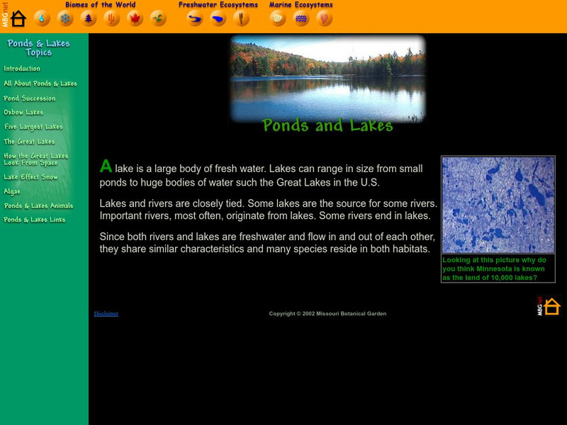
Missouri Botanical Garden: Lakes and Ponds
This illustrated website features facts about lakes and ponds and their special place in geography, natural history, and as a biome.
Science4Fun
Science4 Fun: Lakes
What is a lake? Learn about some famous lakes in the world and how they are formed.


![United Nations: Cartographic Section: Central Asia [Pdf] Graphic United Nations: Cartographic Section: Central Asia [Pdf] Graphic](https://d15y2dacu3jp90.cloudfront.net/images/attachment_defaults/resource/large/FPO-knovation.png)
