Curated OER
Earth Shaped by Water
In this Earth worksheet, students review the different ways water shapes the Earth's surface. This worksheet has 1 short answer and 10 matching questions.
Curated OER
Deposition
In this earth science learning exercise, students study the diagram on the sheet and describe the river valley. Then they list the main type of work done by the river at a specific stage. Students also explain the formation of the...
Curated OER
Geography Action! Rivers 2001- Stream Table
Students use a stream table to simulate river and watershed systems. The affect of gradient on stream flow as well as erosion and deposition are two items that students examine.
Curated OER
The Wedding of a Mountain
Students examine the differences between weathering, erosion, and deposition as it pertains to mountains.
Curated OER
Weathering and Erosion
In this weathering worksheet, students define 23 terms associated with erosion and weathering such as flood plain, moraine, and deposition. Then students use these terms in a sentence.
Curated OER
Geology
Students, in groups, observe the effect of water and ice on surface features of the land. They alsoexplore erosion and deposition.
Science Education Resource Center at Carleton College
Serc: Investigating Processes of Sedimentation in Gravel Pits
In this field investigation, students will investigate processes of deposition that have contributed to the current Minnesota sediments and landscape. After learning about weathering and erosion and having a short introduction to...
Science Education Resource Center at Carleton College
Serc: Investigation Erosion in Our World
In this lab activity, students will look for evidence of erosion in river or streams. This activity should take place after students have observed erosion in a model.
Science Education Resource Center at Carleton College
Serc: Investigating the Minnesota River's Glacial History Near Henderson, Mn.
While visiting three separate sites in or near the Minnesota River valley, students will question the deposition environment of rock types found and the creation of the valley itself. Students will discover find types of rock found far...
Curated OER
National Park Service: Geology of Devil's Tower
Welcome to Devil's Tower National Park in Wyoming! This highly interactive website reveals the geological processes behind the formation of this unique natural structure.
Curated OER
National Park Service: Varying Valleys
The NPS offers a good description of the three main types of valleys, lesson objectives, and modeling activities.
TeachEngineering
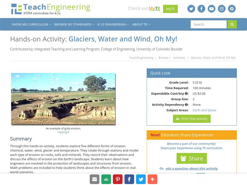
Teach Engineering: Glaciers, Water and Wind, Oh My!
This hands-on activity explores five different forms of erosion (chemical, water, wind, glacier and temperature). Students rotate through stations and model each type of erosion on rocks, soils and minerals. The students record their...
American Association for the Advancement of Science
Aaas: Project 2061: Topic: Weathering, Erosion, and Deposition
[Free Registration/Login Required] Create a science test that checks for student understanding in science, for common misconceptions, as well as for correct ideas. This is a list of key ideas related to Weathering, Erosion, and...
Curated OER
National Park Service: Grand Canyon Geology
Extensive information about the geology of the Grand Canyon. Looks at some principles of geology evident there, forces that have shaped its geological features, how its valleys and canyons were formed, the characteristics of the Colorado...
PBS
Pbs Learning Media: Coastal Geological Processes
This interactive resource adapted from the National Park Service describes the many forces that affect shorelines, including tides, weathering, erosion, and deposition. Includes background reading handout and discussion questions.
Science Education Resource Center at Carleton College
Serc: Geology of the Credit River at Hidden Valley Park
In this earth science instructional activity, students investigate the characteristics of the Credit River in an interdisciplinary inquiry based investigation. They will determine the speed the water moves, identify rocks and sediments...
Science Education Resource Center at Carleton College
Serc: Investigating Steam Discharge: An Interdisciplinary Approach
In this Interdisciplinary Field Investigation learners will combine science, math, geography, creative writing and art. The setting will be a local stream (site yet to be determined, Minnehaha or Vermillion) where 150 students will...
Science Education Resource Center at Carleton College
Serc: Erosion in Our World
Students collect evidence to investigate erosion and deposition around the schoolyard.
Science Education Resource Center at Carleton College
Serc: Investigating Stream Char and Discharge: Interdisciplinary Approach
In this Interdisciplinary Field Investigation students will combine science, math, geography, creative writing and art. The setting will be a local stream (site yet to be determined, Minnehaha or Vermillion) where 150 students will...
The History Place
The History Place: Presidential Impeachment Proceedings
The History Place is an excellent site to research President Clinton's Impeachment. A brief biography of Clinton, events leading up to the impeachment, articles of impeachment, and the consequences.
Science Education Resource Center at Carleton College
Serc: Using Inquiry to Discover Stream Formations in a Small Stream
Students map a section of a small stream, and from that process begin to investigate and discover the basic features of a stream and its development.
Math Science Nucleus
Math Science Nucleus: Maps as Tools
A series of lessons in which students learn about landforms. Includes interpreting landforms, creating landforms, and information on Angel Island.
Scholastic
Scholastic: Study Jams! Science: Weathering & Erosion
A video and a short multiple-choice quiz on the topic of weathering and erosion, what they are, and how they alter the Earth's surface.
National Association of Geoscience Teachers
Nagt: Variable Rivers
In this lesson students will be introduced to rivers and river processes. They will test an isolated variable in rivers and they will test either the amount of water, velocity of water, or steepness of the river bed to determine how...


