Physics Classroom
The Physics Classroom: Vectors and Projectiles: Vector Direction
Through a short informational reading piece and an animated visual, students learn that vectors represent both magnitude and direction.
CK-12 Foundation
Ck 12: Earth Science: Location and Direction
[Free Registration/Login may be required to access all resource tools.] Using latitude and longitude to find a location.
CK-12 Foundation
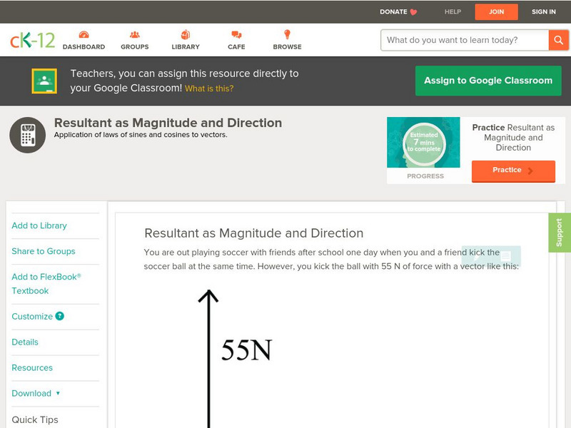
Ck 12: Trigonometry: Resultant as Magnitude and Direction
[Free Registration/Login may be required to access all resource tools.] Express vectors in magnitude and direction form.
CK-12 Foundation
Ck 12: Analysis: Vector Direction
[Free Registration/Login may be required to access all resource tools.] Definition and use of calculated vector direction angles
CK-12 Foundation
Ck 12: Earth Science: Location on the Earth
[Free Registration/Login may be required to access all resource tools.] Using latitude and longitude to find a location.
Physics Classroom
The Physics Classroom: Vectors and Projectiles: Vector Addition: 6 + 8 = ?
Become a student of physics and approach the task of adding vector quantities, which also include direction. See this head-to-tail animation which helps with the visualization of this concept.
Alabama Learning Exchange
Alex: Going the "Write" Direction
We've all gotten bad directions and if the truth were known, we have all given poor directions.So we are going to hone our skills in giving (writing) and following (reading) directions.
PBS
Pbs Learning Media: Fresh Pick Challenge: Lunch Counter
Help children create a simple lunch counter where they can learn about dollars and cents and sharpen their business skills at the same time. This activity will help them learn coin values, count by fives and tens, and practice simple...
CK-12 Foundation
Ck 12: Earth Science: Location and Direction Study Guide
This comprehensive study guide covers the main terms and concepts needed for an earth science unit on latitude and longitude. Review questions are included at the bottom of the study guide.
Rice University
Rice University: Cynthia Lanius: Mathematics of Cartography: Coordinate System
A coordinate system such as latitude/longitude is an example of absolute location. Links to Greenwich/Prime Meridian.
Other
Design and Colour
A site by watercolor artist John Lovett. He describes the Elements of Art and Principles of Design and gives tips and techniques for watercolor painting and for composition.
National Geographic
National Geographic: Getting Lost
The National Geographic Society provides this lesson on cardinal directions for primary students that employs common classroom materials.
Sophia Learning
Sophia: Introduction to Vectors & Scalars: Lesson 3
This lesson introduces the concepts of vectors and scalars and explains how they are related to distance and displacement. It is 3 of 3 in the series titled "Introduction to Vectors & Scalars."
Sophia Learning
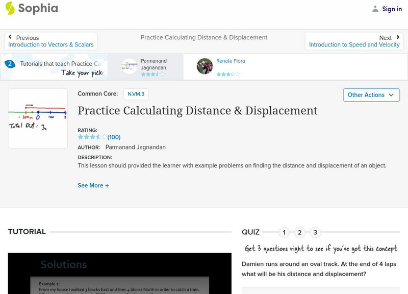
Sophia: Practice Calculating Distance & Displacement: Lesson 1
This lesson should provided the learner with example problems on finding the distance and displacement of an object. It is 1 of 2 in the series titled "Practice Calculating Distance & Displacement."
Sophia Learning
Sophia: Velocity: Lesson 3
This lesson will introduce the concept of velocity, explaining what it is, how it is calculated, and common units used to represent it. It is 3 of 3 in the series titled "Velocity."
Ducksters
Ducksters: Physics for Kids: Scalars and Vectors
Kids learn about scalars and vectors in the science of physics. Scalars are magnitude only while vectors have magnitude and direction. Examples and differences and how to draw a vector.
ClassFlow
Class Flow: Sailing Through Directions
[Free Registration/Login Required] This flipchart helps students learn directions - above, below, left of, right of - in a colorful sailing environment.
ClassFlow
Class Flow: Bearings 2
[Free Registration/Login Required] This is a flipchart introducing student to compass bearings. It can be followed by flipchart bearings going further in depth of bearing orientation.
ClassFlow
Class Flow: Christopher Columbus
[Free Registration/Login Required] Students recognize why we celebrate Columbus Day as related to the story of Christopher Columbus. Students explore the route taken from Spain to the Americas and how long this voyage took by using a...
Other
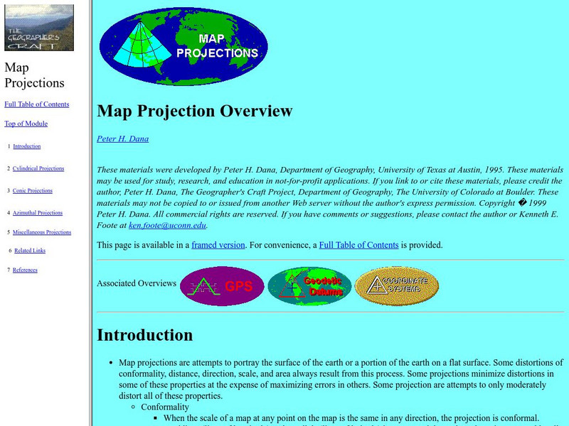
University of Connecticut: The Geographer's Craft: Map Projection Overview
An advanced overview of map projections with illustrative graphics. Created by Peter H. Dana, Department of Geography, University of Texas at Austin in 1995.
HotChalk
Hot Chalk: Lesson Plans Page: Find Captain Hook's Treasure
Lesson that helps students understand maps, map directions, and map symbols. Students use teacher-created maps to locate numbered keys on the playground.


