Curated OER
An English Colony
Putting the colonization of Jamestown in perspective, this resource provides a quick overview of the topic. As part of a discussion of the colonies, this would be a helpful tool.
Curated OER
Early Arkansas Geography
Seventh graders locate and describe historical Arkansas while using a historical map.
Curated OER
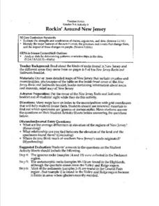
Rockin' Around New Jersey
Students use reference materials to discover which specimens are igneous or metamorphic. Students answer the questions on the provided sheets. Students identify the average differences in elevation of the regions of New Jersey. Students...
NOAA
Noaa: National Ocean Service Education: Estuaries
Illustrated tutorial explains estuary ecosystems. Animations and illustrations help students become more familiar with the plant and animal communities which make up this coastal habitat.
Other
North Carolina
A brief overview of the state of North Carolina can be found here. A map of the state and statistics on individuals cities are offered as well.
Travel Document Systems
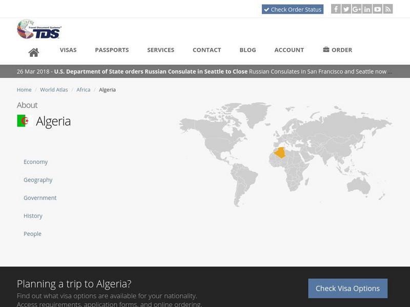
Tds: Algeria: Geography
A discussion of the geography of Algeria. You can read about the three distinct geographic regions, the climate, and the natural hazards. Information from the CIA World Fact Book.
Travel Document Systems
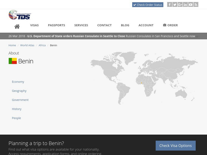
Tds: Benin: Geography
Read about the geography, climate, and wildlife of Benin in this article with information from the U.S. State Dept. Background Notes.
Travel Document Systems
Tds: Eritrea: Geography
A discussion of the climate and terrain of Eritrea. Find out where the climate is hot and where it is temperate. Information is from the CIA World Fact Book.
Travel Document Systems
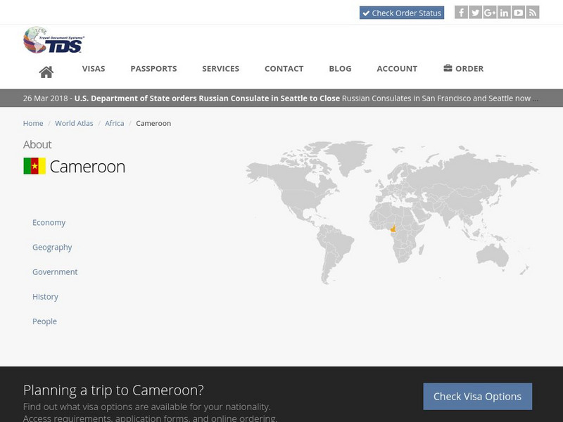
Tds: Cameroon: Geography
A graphic listing the important components of Cameroon's physical environment. You can find out about the climate, terrain, natural resources, and environmental concerns. Information is from the CIA World Fact Book.
Travel Document Systems
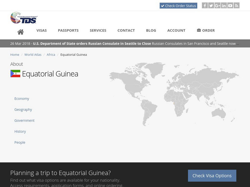
Tds: Equatorial Guinea: Geography
Equatorial Guinea is made up of islands and a continental region. Read about the land forms on each. Information is from the CIA World Fact Book.
Travel Document Systems
Tds: Guinea Bissau: Geography
A graphic showing facts about Guinea-Bissau's size, climate, terrain, land use, and environmental concerns. Information is from the CIA World Fact Book.
Travel Document Systems
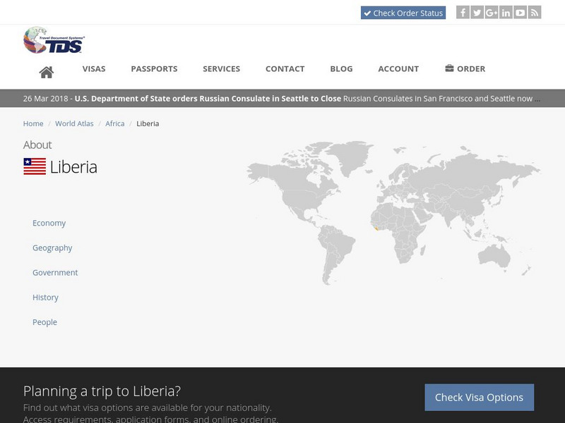
Tds: Liberia: Geography
A graphic showing geographical information about Liberia. You can find out about its size, climate, land use, and terrain. Information is from the CIA World Fact Book.
Travel Document Systems
Tds: Mauritius: Geography
A graphic showing the terrain, climate, and natural resources of Mauritius. Information is from the CIA World Fact Book.
Travel Document Systems
Tds: Mozambique: Geography
A graphic showing the various aspects of the physical environment of Mozambique including its area, climate, terrain, and natural resources. Information is from the CIA World Fact Book.
Travel Document Systems
Tds: Gabon: Geography
A graphic giving information about the various elements of Gabon's physical environment. Find out about the climate, terrain, and natural resources. Information is from the CIA World Fact Book.
NSTATE
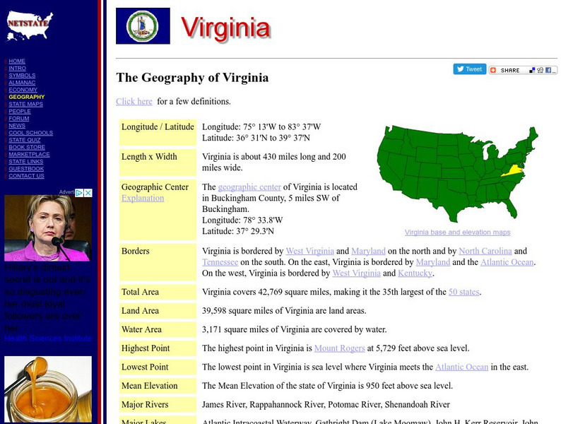
Netstate.com: The Geography of Virginia
Find a variety of facts about the geography of Virginia: geographic center, total area, elevations, and much more.


