Curated OER
Where in the World War? Mapping the Geography of D-Day
Students examine how to read maps for historical information. They listen to a lecture on the history of D-Day, analyze a historical map of the invasion of Normandy, and answer discussion questions.
Curated OER
Weather and the D-Day Invasion
Students study the weather that occurred during the invasion of Normandy. They research using the Internet to locate information about the invasion and the meteorologists who helped during the war effort. They
Library of Congress
Loc: World War Ii Military Situation Maps
World War II Military Situation Maps contains maps showing troop positions beginning on June 6, 1944 to July 26, 1945. Starting with the D-Day Invasion, the maps give daily details on the military campaigns in Western Europe, showing the...
ibiblio
Ibiblio: Dwight David Eisenhower
This ibiblio.org site is a biographical account of the 34th president of the U.S., Dwight D. Eisenhower. Contains interesting details, particularly of his military career.
US Holocaust Memorial Museum
U.s. Holocaust Memorial Museum: Remembering D Day 70 Years Later
The D-Day invasion was a major turning point in WWII. Using primary sources such as oral histories, diaries, and memoirs, students can understand the uncertainty and hope that surrounded this time period.
BBC
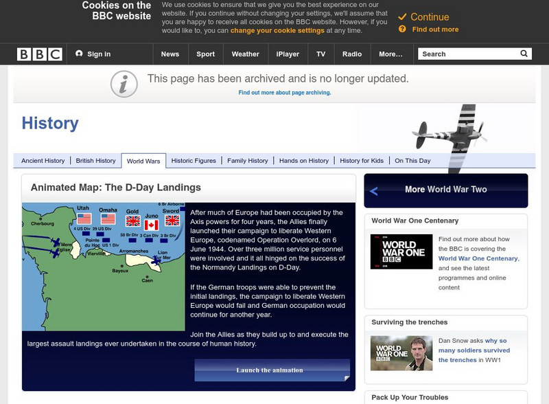
Bbc History: World Wars: World War Two: Animated Map: D Day Landings
Interactive map of the invasion of Normandy, which commenced on June 6, 1944, D-day.
Curated OER
Graphic Taken From the 'D Day Landings ' Animated Map
Interactive map of the invasion of Normandy, which commenced on June 6, 1944, D-day.


