Other
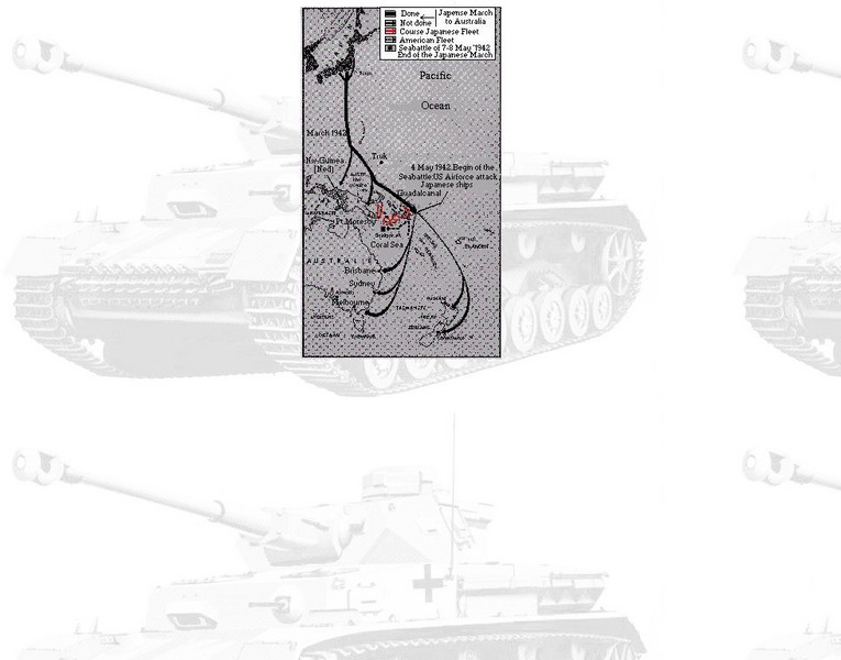
Stemming the Tide: Battle of the Coral Sea
This site provides a detailed discussion of the Battle of the Coral Sea and the events leading up to it. Includes some pictures.
US Navy
Department of the Navy: Uss Lexington in Battle of Coral Sea
This site is about the part that the USS Lexington played in the Battle of Coral Sea. In 1942 the Lexington fought valiantly and then met her demise.
US Navy
America's Navy: The Battle of the Coral Sea
A brief site and description of the Battle of the Coral Sea, fought on May 4-8, 1942. Includes a picture of the battle, and a quote is available by clicking on the picture.
Other
Historic Naval Ships: Uss Lexington
Historic Naval Ships Association gives a description and history of the USS Lexington, which served in the Pacific in WWII and is now a museum.
Curated OER
University of Texas: Vanuatu: Relief Map
A relief map of the several islands that make up the country of Vanuatu. An inset shows the islands in relation to others in the South Pacific. Clicking on the map will enlarge it. From the Perry Castaneda Collection.
Curated OER
University of Texas: New Caledonia: Relief Map
A relief map of the islands that make up New Caledonia. You can clearly see the mountainous terrain of the main island. You can also see the highways on the islands. Clicking on the map will enlarge it. From the Perry Castaneda Collection.
Curated OER
University of Texas: Solomon Islands: Political Map
A political map of the Solomon Islands in the Coral Sea. An inset shows the islands in relation to other islands in the South Pacific. Clicking on the map will enlarge it. From the Perry Castaneda Collection.
Curated OER
University of Texas: Papua New Guinea: Relief Map
A relief map of the islands of Papua New Guinea showing both the mountainous regions and coastal plains. Clicking on the map will enlarge it. From the Perry Castaneda Collection.
Curated OER
University of Texas: Papua New Guinea: Political Map
A political map of the islands of Papua New Guinea which shows the province borders, major cities, and highways.
Travel Document Systems
Tds: Solomon Islands: Geography
A discussion of the physical environment of Solomon Islands including the names of the major islands, climate, terrain, and vegetation. Information is from the U.S. State Dept. Background Notes.
Curated OER
University of Texas: Vanuatu: Political Map
A small political map of Vanuatu. Be aware that the country was called New Hebrides until 1971 and is thus labeled on this map. From the Perry Castaneda Collection.
Other
Air Art Nothwest: The Battle of the Coral Sea
This site from Air Art Nothwest is a publicity site for a painting about the Battle of the Coral Sea, but contains some interesting information about the battle.
Curated OER
Air Art Nothwest: The Battle of the Coral Sea
This site from Air Art Nothwest is a publicity site for a painting about the Battle of the Coral Sea, but contains some interesting information about the battle.


