Pamela Seed
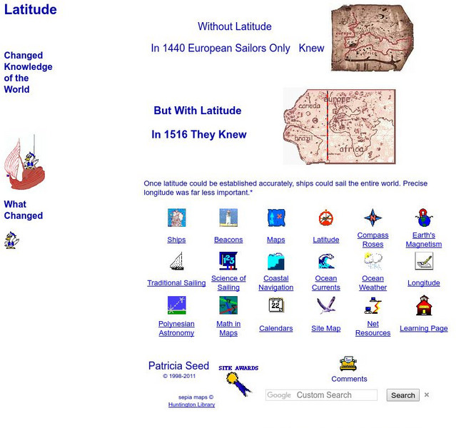
Rice: Latitude: The Art and Science of 15th Century Navigation
This is a great site to read about how navigation began in Europe and what tools were used. Make sure to read the segments on coastal navigation, maps, and ocean currents.
Other
The Trans Atlantic Slave Trade Database: Introductory Maps
Nine full-color, excellent quality maps depicting the Trans-Atlantic Slave trade, each with an interpretation and explanation of the voyages portrayed during the specific time period.
Georgia Department of Education
Ga Virtual Learning: Ap Human Geography: Population
Learning module for AP Human Geography course explores population, including factors affecting distribution and growth.
United Nations
Unesco: Interactive Map of the Cities Along the Silk Roads
A map showing the locations of cities that participated in trade along the Silk Roads, stretching from Italy to Japan. Each red dot is provides information about the location and links to a UNESCO page with more in-depth information...
Other
The Silk Road Yesterday and Today: Map Assignment
Assignment from virtual learning module in which students label a map of the Silk Road route with physical features, then take a virtual tour to research goods, artifacts and ideas traded along the way. Students also complete a graphic...
Princeton University
Princeton University: Maps of the Islamic Middle East
This site from the Princeton University includes a map collection from Roolvink's "Atlas of the Middle East" with a variety of historical maps on Islam.
Geographypods
Geographypods: Renaissance Day: Discovering the 'Lost World'
Gain knowledge of how exploration, mapping, and voyages of the Renaissance period shaped and changed our understanding of the modern world.
University of Wisconsin
Uwec: West African Slave Trade Map
A map showing the numbers and routes used in the slave trade.
Minneapolis Institute of Arts
The Minneapolis Institute of Arts: Yuan Dynasty Map
This site from The Minneapolis Institute of Arts provides a full color map that details the expanse of the Yuan Dynasty from 1280 - 1365 A.D.


