United Nations
United Nations: Cartographic Section: Central Asia [Pdf]
The countries of central Asia are shown on this map from the United Nations. It also shows the major rivers and cities.
Curated OER
University of Texas: Maps: Tajikistan: Political Map
Here's an easy to read political map of Tajikistan with its important cities, province borders, major highways, and railroads.
Curated OER
University of Texas: Maps: Tajikistan: Physical Map
This relief map of Tajikistan from the University of Texas' map collection shows the mountains and bodies of water in that country.
Enchanted Learning
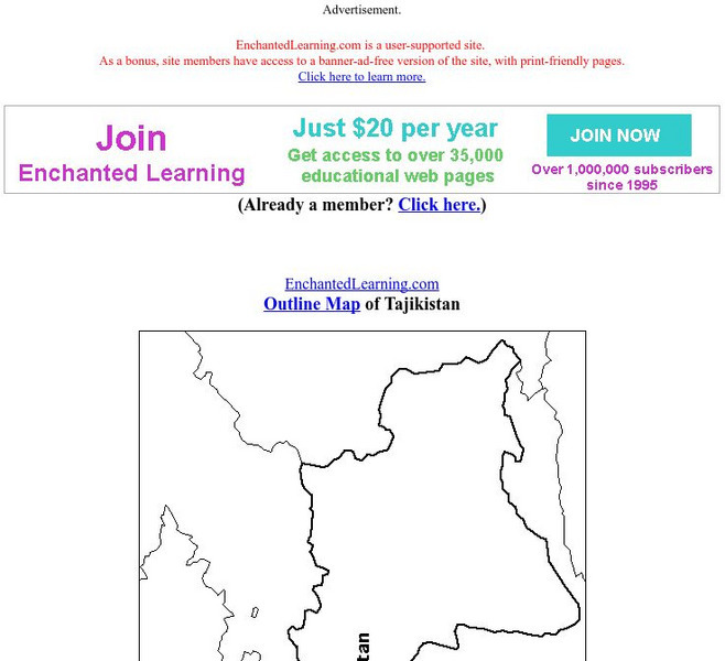
Enchanted Learning: Outline Map of Tajikistan
Practice what you know about Tajikistan's geography by printing out and filling in this outline map.


![United Nations: Cartographic Section: Central Asia [Pdf] Graphic United Nations: Cartographic Section: Central Asia [Pdf] Graphic](https://d15y2dacu3jp90.cloudfront.net/images/attachment_defaults/resource/large/FPO-knovation.png)
