Nations Online Project
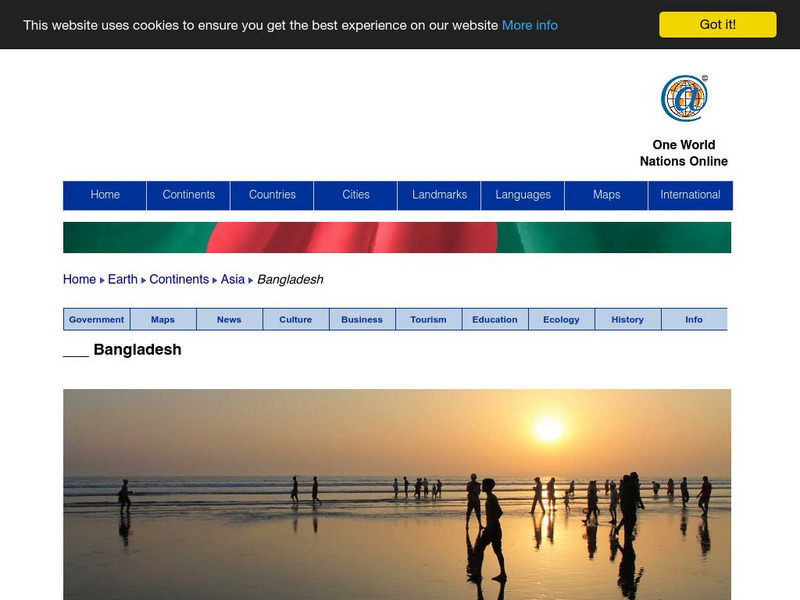
Nations Online: Bangladesh Country Profile
Features a country profile of Bangladesh, background details, and numerous links to comprehensive information on the nation's culture, history, geography, economy, environment, population, news, government, maps, and much more tourism...
University of Texas at Austin
Perry Castaneda Library Map Collection: Maps of Bangladesh
The Perry-Castaneda Library at the University of Texas provides an outstanding collection of maps of the country of Bangladesh. PDFs (require Adobe Reader).
Geographyiq
Geography Iq: Bangladesh
Much historical information and current facts about Bangladesh are given in this well organized and detailed site. Quick facts are displayed in easy to read charts.
Curated OER
University of Texas: Bangladesh: Political Map
A political map of Bangladesh showing its major cities, the boundaries of its divisions (provinces), roads, and, most spectacularly, the rivers flowing across this country.
Curated OER
University of Texas: Bangladesh: Small Map of Bangladesh
On this small map of Bangladesh, you can clearly see the rivers, major cities, and outline of the country.
Latimer Clarke Corporation
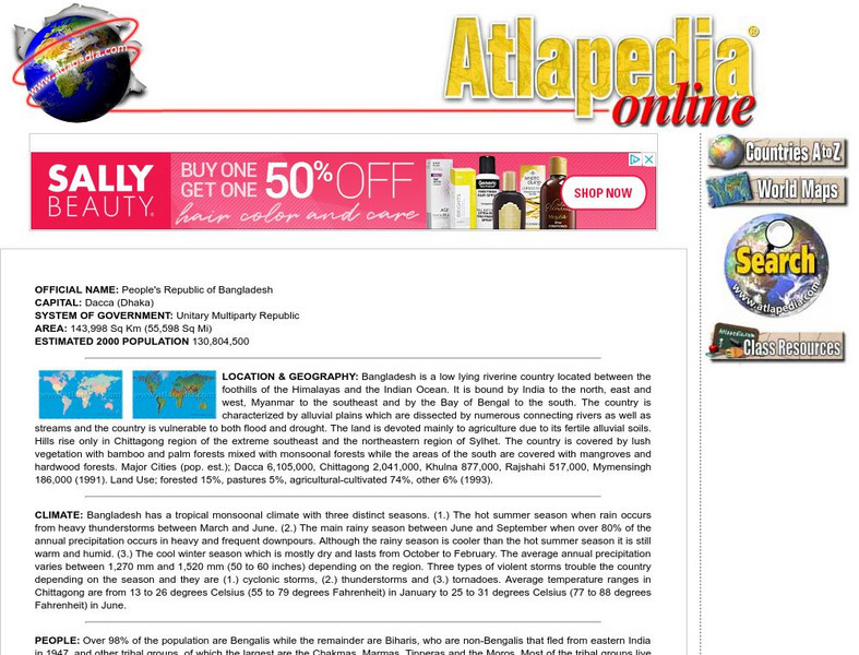
Atlapedia Online: Bangladesh
If you're doing a research paper on Bangladesh, this is a great place to begin. Has information about the history, people, geography, climate, economy, and more. Click on the map image to get more details and an enlarged view.
Virtual Bangladesh
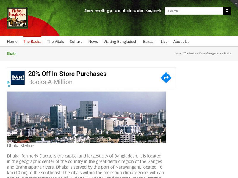
Virtual Bangladesh: Dhaka
This Virtual Bangladesh site provides information on Dhaka, Bangladesh. Formerly called Dacca, Dhaka is the capital and largest city of Bangladesh, located in the geographic center of the country. Here you will find not only a...
Virtual Bangladesh
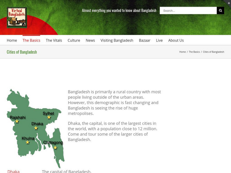
Virtual Bangladesh: Cities of Bangladesh
This Virtual Bangladesh site provides information on the cities of Bangladesh. A map showing the location of the five major cities of Bangladesh, and then links to further descriptions.
BBC
Bbc: News: Country Profile: Bangladesh
Provides an overview and some basic facts about the Asian country of Bangladesh. Also discussed is the current leader and its media market.
World Food Programme
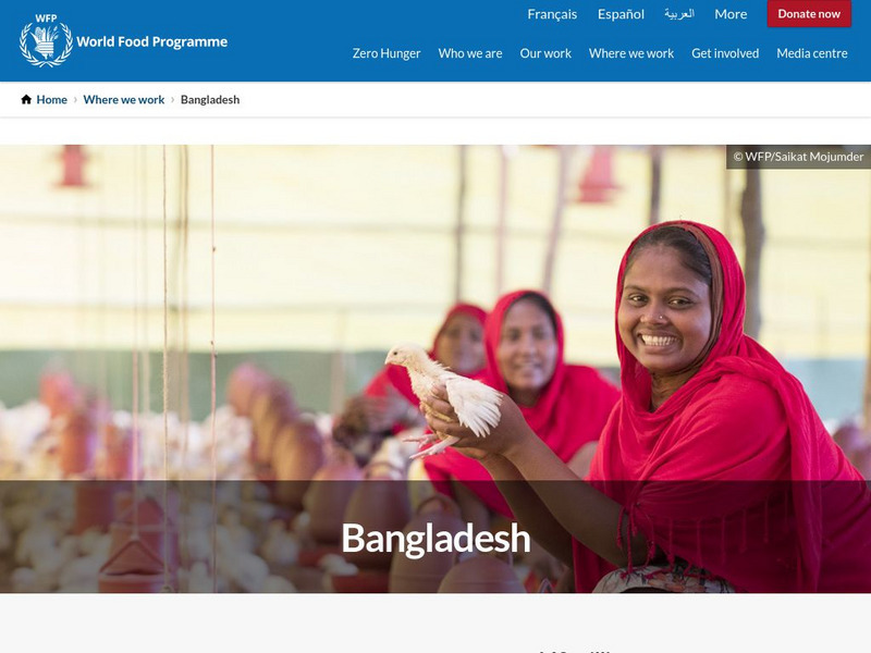
United Nations World Food Programme: Bangladesh
World Food Programme is the United Nations frontline agency in the fight against global hunger. This site describes the work of the United Nations in Bangladesh.
Other
Government of the People's Republic of Bangladesh: Ministry of Foreign Affairs
The official site of Bangladesh's Ministry of Foreign Affairs. There is a link to general country information, maps and the constitution as well as more specific policies and personnel of the foreign policy of Bangladesh.
Climate Zone
Climate Zone: Climate of Bangladesh
Tables for the different climate regions in Bangladesh show the average temperature, rainfall and snowfall in this Asian country.
Curated OER
University of Texas: Bangladesh: Relief Map
Click on this relief map of Bangladesh to get a close up look of the major rivers that flow across this flat country and form the mouths of the Ganges. From the Perry Castaneda Collection.
Curated OER
Map of Bangladesh
Provides an overview and some basic facts about the Asian country of Bangladesh. Also discussed is the current leader and its media market.
Curated OER
Science Kids: Science Images: Map of Bangladesh
A map featuring Bangladesh and its neighboring countries.


