Curated OER
University of Texas: Cameroon: Political Map
On this site you'll find an easy-to-read political map of Cameroon showing the provinces, major cities and highways, and neighboring countries. From the Perry Castaneda Collection.
Curated OER
University of Texas: Central Africa: Relief Map
A good relief map of the countries of Central Africa showing mountains, lakes, and valleys. Clicking on the map will enlarge it. From the Perry Castaneda Collection.
Curated OER
University of Texas: Gabon: Political Map
A political map of Gabon which shows its provinces, major cities and highways, and neighboring countries. Clicking on the map will enlarge it. From the Perry Castaneda Collection.
Travel Document Systems
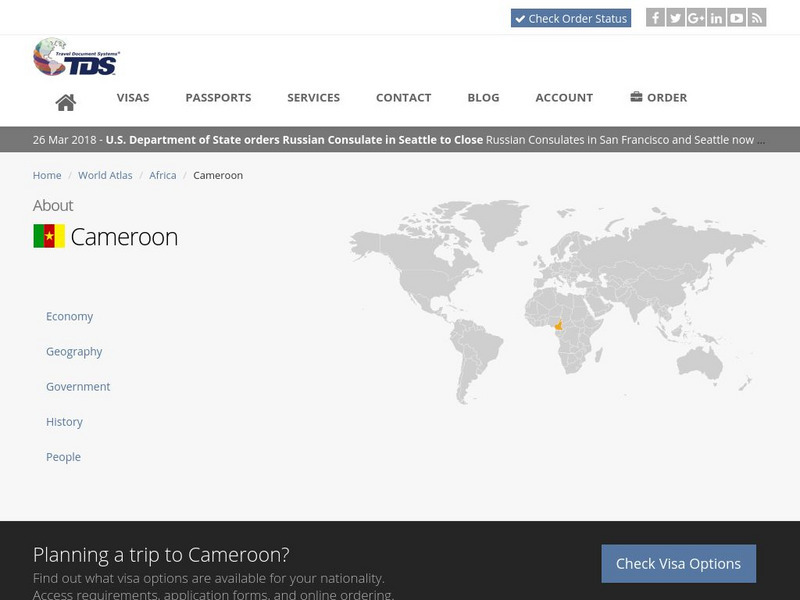
Tds: Cameroon: Geography
A graphic listing the important components of Cameroon's physical environment. You can find out about the climate, terrain, natural resources, and environmental concerns. Information is from the CIA World Fact Book.


