NASA
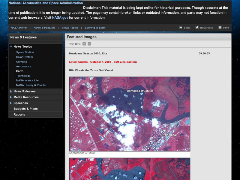
Nasa: Hurricane Season 2005: Rita
Outstanding web site from NASA that details Hurricane Rita and has a plethora of visuals such as interactive maps, aerial photographs, videos, and more. Great source.
NBC
Msnbc: In Receding Floodwaters, More Damage Found
September, 2005, report of the aftermath of Hurricane Rita including damage, fatalities, impact on the oil industry, and rescue missions.
University of Texas at Austin
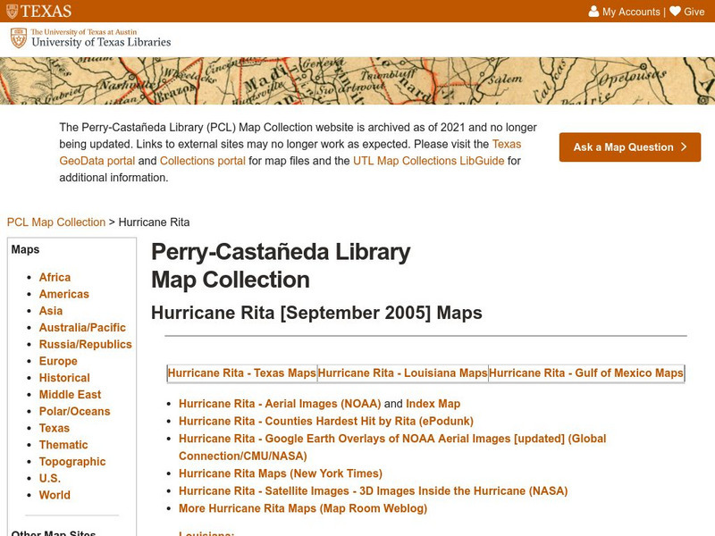
University of Texas: Hurricane Rita Maps
Web page with a large quantity of links to information on Hurricane Rita including maps, aerial images, satellite images, data, and much more.
Other
Rita and Katrina: How Hurricanes Compare [Pdf]
Interesting map with information comparing Hurricanes Rita and Katrina.
BBC
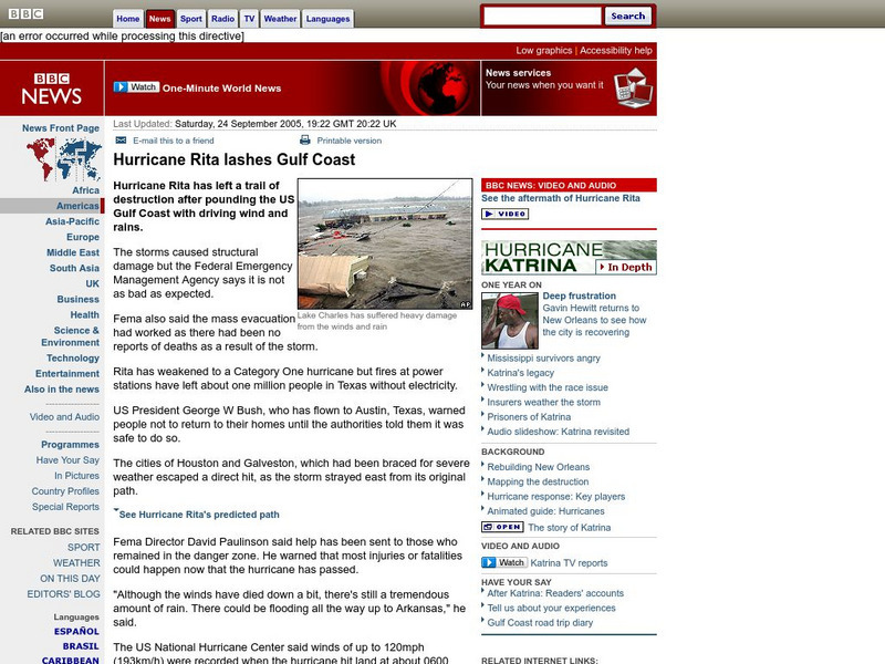
Bbc News: Hurricane Rita Lashes Gulf Coast
In this September, 2005, report, the Gulf Coast is hit by Hurricane Rita. Along with report, is a photographic slideshow, satellite images, and links to other articles.
FOX News
Fox News: Hurricane Rita Grazes Keys, Targets Texas
As Hurricane Rita grazed the Florida Keys, now it is headed toward the Gulf of Mexico. In response, in the wake of Hurricane Katrina, many areas fear destruction, are making plans, and are evacuating. Photos, video, and links to other...
Curated OER
Bbc News: Hurricane Rita: The Impact
Web page focused on the impact of Hurricane Rita on the Gulf Coast. Find a map of the path of the hurricane, satellite photo, graphic of New Orleans levee, information on the oil industry, and more.
Curated OER
Bbc News: Hurricane Rita: The Impact
Web page focused on the impact of Hurricane Rita on the Gulf Coast. Find a map of the path of the hurricane, satellite photo, graphic of New Orleans levee, information on the oil industry, and more.


![Rita and Katrina: How Hurricanes Compare [Pdf] Graphic Rita and Katrina: How Hurricanes Compare [Pdf] Graphic](https://d15y2dacu3jp90.cloudfront.net/images/attachment_defaults/resource/large/FPO-knovation.png)
