Curated OER
European Map
In this blank outline map worksheet, learners explore the political boundaries of the continent of Europe and those of the countries located there.
Curated OER
Creating a Map of France
In this crating a map of France learning exercise, students find and label important parts of France, bodies of water, mountains and surrounding countries.
Houghton Mifflin Harcourt
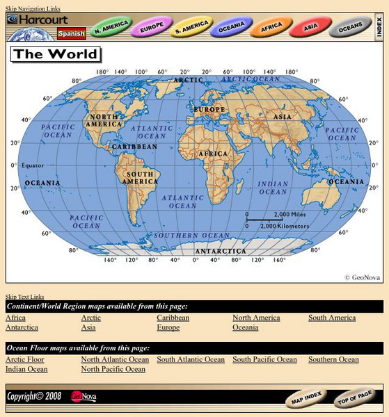
Harcourt: School Publishers: World Atlas: The World
Provides continent, country, and ocean floor maps from all over the world. Click on a continent's name to access the detailed maps which also include statistical facts on each available country.
That Quiz
Geografia Europa: That Quiz: Europe
Interactive practice to learn the countries of Europe. It keeps track of right and wrong answers and the time in which it takes to identify the maps.


