Curated OER
Earth Materials - Geology and Plate Tectonics
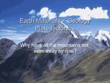
Not going into depth on any one topic, this Earth science presentation skims the crust. It touches on the materials that construct the crust and then moves into plate tectonics. This is a useful and colorful note-taking guide for your...
Curated OER
Earthquakes & Volcanoes
In this earthquake and volcano worksheet, students use the Internet site given to complete each of the questions. They identify and describe various major earthquakes that have occurred in the US. Then they describe where molten rock...
Curated OER
Geologic Blocks: Folds Worksheet
In this geology worksheet, students explore folds in geologic blocks. They sketch ovals in blocks across fold lines. Students have six pictures to sketch, each one from a different angle or from a different size block.,
Curated OER
The Fault Line
Students use cardboard models of the North American and Pacific plates and sand to investigate what happens when there is an earthquake or movement along the boundaries of the plates.
Curated OER
Geologic Blocks: Intrusions Worksheet
In this geology worksheet, students observe and describe the number and types of intrusions on blocks. They list events in sequential order and practice sketching blocks. There are six problem solving questions on this worksheet.
Exploratorium
Exploratorium: On the Road With the Faultline Project
This outstanding multimedia website follows the San Andreas fault system up the California coast from San Diego to just north of San Francisco on the coast.
eSchool Today
E School Today: Your Cool Facts and Tips on Earthquakes
Explains what earthquakes are, what causes them, the different types, tsunamis that can be caused by them, and how to prepare if living in an earthquake-prone area.
Woods Hole Oceanographic Institution
Woods Hole Oceanographic Institution: Tsunami: An Interactive Guide
A complete, interactive learning activity covering the science of tsunamis, preparedness, research, and historical tsunamis. Excellent animations and real, historical recordings of survivors allow the learner to experience what happens...
TeachEngineering
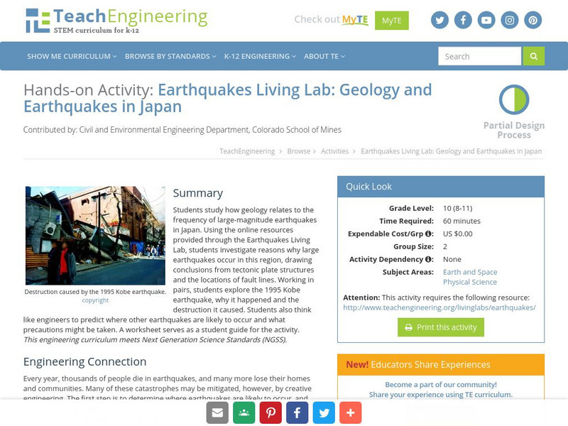
Teach Engineering: Earthquakes Living Lab: Geology and Earthquakes in Japan
Using the online resources provided through the Earthquakes Living Lab, students investigate reasons why large earthquakes occur in Japan, drawing conclusions from tectonic plate structures and the locations of fault lines.
US Geological Survey
U.s. Geological Survey: San Andreas Fault at Wallace Creek
See interactive, 360 degree panoramic photos of the San Andreas Fault. Aerial photos of the fault were taken using a technique called Kite Aerial Photography.
US Geological Survey
U.s. Geological Survey: Earthquake Center: Glossary
This resource provides definitions of important earthquake related terms.
Other
Digital Library for Earth System Education: Teaching Box: Mountain Building
A suite of lessons focusing on all aspects of how mountains are formed. Inquiry-based exploration of mountain building includes the rock cycle, mountain formation, plate tectonics, earthquakes, volcanoes, erosion, rocks, minerals, and...
California Institute of Technology
Scec: Significant Earthquakes and Faults
An interactive map of significant earthquakes and faults in southern California. Click on each earthquake icon, and see a brief overview of each event.
University of Oregon
University of Oregon: Faults and Fault Zones
Pictures of a variety of fault types. Fault types shown include: normal, reverse, and strike-slip. Also includes instructions for determining fault slip direction.
Purdue University
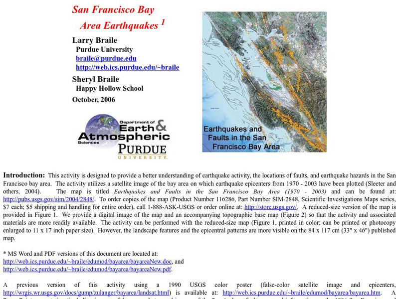
Purdue University: San Francisco Bay Area Earthquakes
Students use geologic fault maps of the San Francisco Bay Area to find relationships between tectonic plate fault lines and landscape features, topographic features, and epicenters of past earthquakes.
Other
Noaa: National Geophysical Data Center Images Faults
This is a great slide show with real examples of the different types of faults.
University of California
Broadband Seismic Data Collection Center: Online Earthquake Quiz
Test your knowledge of earthquakes by taking this 17-question online quiz. After answering the questions, submit your results to see how you did.
Other
University of Wisconsin Green Bay: Faults and Earthquakes
This site is primarily set up as an outline and is loaded with graphs, maps, and images. It covers a variety of earthquake-related topics, such as what causes earthquakes, fault lines and structures, seismology, a historical look at...
Other
Scec: Wallace Creek Interpretive Trail
Go on a geologic adventure in this interactive, online trail guide to the Wallace Creek site on the San Andreas Fault.


