Columbia University
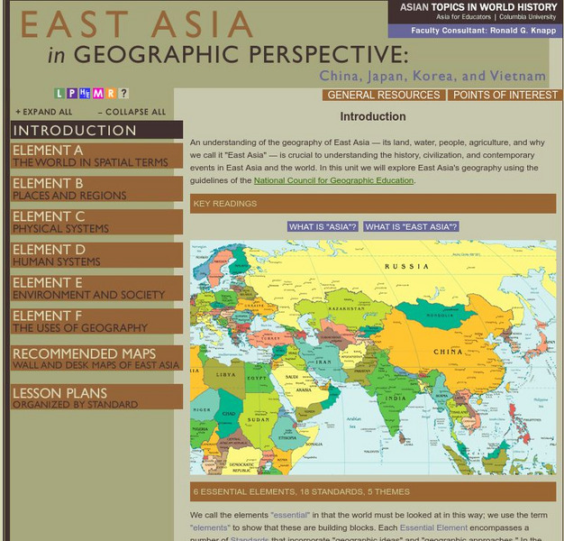
Columbia University: Asia for Educators: East Asia in Geographic Perspective
This teacher resource is devoted to teaching about the geographic history of East Asia. Includes standards information and links to related lesson plans. Also features a downloadable world map (PDF, requires Adobe Reader).
InterKnowledge Corp.
Geographia
This resource offers images and descriptions of cultural landmarks, natural features, and cultural information of many foreign countries.
Smithsonian Institution
Smithsonian Education: My Wonderful World
Interactive map of the world in which students select a continent and begin exploring using online resources from the Smithsonian Institute.
World InfoZone
World Info Zone
Detailed, comprehensive information on countries and people all over the world. Great tool for discovering facts on world issues, seeing photos, and just exploring the world in general. Also includes quizzes based on the website's content.
University of Texas at Austin
Perry Castaneda Library Map Collection
Maps from all over the world can be printed from this site. Find historical maps of the world; thematic maps; and world, continent, country, state, and county maps for your use.
National Geographic
National Geographic: Political Borders
Lesson in which students explore the concept of borders and regions by examining culture and physical location and determine how and where borders should be placed. Lesson contains two activities with maps.
National Geographic
National Geographic: Conflict on the Danube
Lesson in which students use maps and text to explore physical and cultural boundaries and the disputes over control of them. Includes two activities with comprehensive and adaptable materials.
National Geographic
National Geographic: More Physical Geography and Borders
Lesson on the physical features that create borders and boundaries. Small group and whole class activities, background information, worksheets and assessment.
National Geographic
National Geographic: Languages and Religions of the United Kingdom and Ireland
Lesson in which middle schoolers explore how language and religion have affected borders in the United Kingdom and Ireland.
National Geographic
National Geographic: More Human Geography and Borders
Lesson explores the ways in which human and cultural factors such as language and religion affect borders. Whole class and small group adaptable and interactive activities.
National Geographic
National Geographic: European Borders Through History
Lesson in which learners use maps to explore how European political borders have changed over time. Maps after WWI, WWII and European Union provided for comparison.
National Geographic
National Geographic: Looking Back, Looking Forward
Lesson reviews what learners have learned in the unit on European cultural and physical landscape. Students compare maps, questions and ideas from the beginning of the unit and identify new questions for research.
Central Intelligence Agency
Cia: World Factbook: Regional and World Maps
Website from the Central Intelligence Agency (CIA) provides interactive reference material for regional and world maps in the World Factbook Library. Students and teachers can search for information about any country in the world.
Central Intelligence Agency
Cia: World Factbook: Guide to Country Comparisons
Reference material for students and teachers provides a way to compare a wealth of country statistical data on a variety of topics.
Georgia Department of Education
Ga Virtual Learning: Government & Politics: Comparative Citizens, Society, State
AP Government and Politics learning module explores political patterns and how they are influenced by the interactions between state and society. Comprehensive, multi-media resources.
Georgia Department of Education
Ga Virtual Learning: Ap Human Geography: Language and Religion
AP Human Geography course unit on Language and Religion compares world language, religion and looks at conflict within. Comprehensive resources, multi-media sources and interactive material.
Other
Nation Master: Country Profiles
Profiles of most of the countries in the world today. Each profile is full of facts, statistics, and rankings against other countries in many different categories.
Other
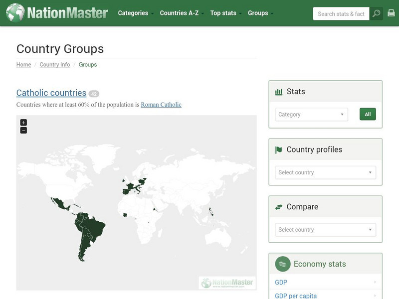
Nation Master: Country Groups
An interesting site that has sorted countries into groups based on such things as religion, economic factors, common colonial history, or location. They were then compared on the basis of different categories, such as agriculture, crime,...
Other
Nation Master
A vast quantity of data has been collected here for comparing countries on, as the site says, 'just about anything.' There are over 300 countries, as well as over 40 groupings of countries based on their commonalities. There are...
Nations Online Project
Nations Online
This portal site offers quick access to a wide range of information about each country, continent and region of the world.
BBC
Bbc News: Country Profiles
Find full profiles of countries around the globe including history, politics, economic background, and more. Audio and video clips are also available.
Colorado State University
Colorado State University Libraries: Garst Collection: Animal Geography
Interactive map for discovering which animals live on which continent.
Other
Project Visa
A comprehensive internet resource guide to visa and embassy information for all countries around the world. Search by region or view the entire country list. Links to other travel, visa, and immigration sites.
United Nations
United Nations: Cartographic Section: The World Today [Pdf]
Here is an up-to-date political map of the world today. Very detailed with a good key.


