Curated OER
Geology Project Notes
In this geology worksheet, students fill in notes using a variety of resources. Students answer questions as it relates to geology, soil erosion, mass movement, and deposition. Students research information about the presented aspects of...
American Geosciences Institute
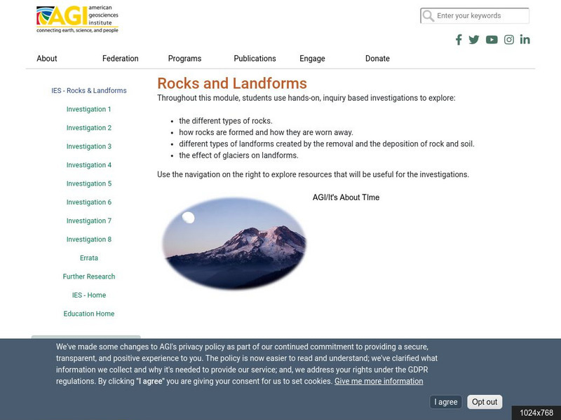
American Geosciences Institute: Rocks and Landforms
Eight hands-on lessons module where students learn about rocks and landforms. These inquiry-based investigations explore the different types of rocks, how they are formed, the different types of landforms, and the effects of glaciers on...
TeachEngineering
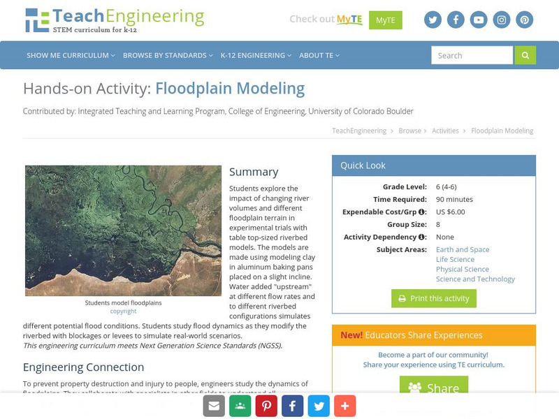
Teach Engineering: Floodplain Modeling
Students explore the impact of changing river volumes and different floodplain terrain in experimental trials with table top-sized riverbed models. The models are made using modeling clay in aluminum baking pans placed on a slight...
Idaho State University
Idaho State University: Environmental Geology: Rivers and Flooding
Recognize what physical characteristics create rivers on Earth's surface. Identify where floods occur and what makes them happen.
US Geological Survey
U.s. Geological Survey: Floods and Flood Plains
This site provides a detailed report on floods and flood plains. Facts about weather patterns, zoning restrictions, and dams and levees are given along with diagrams and photos.
US Geological Survey
U.s. Geological Survey: The "1 Oo Year Flood"
Fact sheet uses graphs to highlight streamflow data collected after major floods.
PBS
Pbs Newshour Extra: What Is a Flood Plain?
Learners will view flooding situations and hypothesize how much risk they are in their homes and schools. They will also estimate the expense of living through a flood and compare the price to the cost of repairing damage due to flooding.
NASA
Floods: Using Satellites to Keep Our Heads Above Water
This article describes how scientists use satellite images to try and spot extreme floods. These satellites keep information stored, such as data on hundred-year floods, and try to identify likely flood plains based on that data.
PBS
Nova: The River's Gift
Floods do serve a purpose. Find out why farms are often grown on flood plains.


