Curated OER
Family Life in a Village in Bangladesh
In this Bangladesh worksheet, learners read about the lives of men and women and the weather in Bangladesh. They then take that information to create a poster. Maps are also provided.
Curated OER
Sacred Places
Learners examine places considered sacred in both India and the U.S. They read and discuss a website on the Ganges River, discuss places considered sacred in the U.S., and write an essay comparing/contrasting personal sacred places and...
PBS
Pbs: The Story of India: The Ganges River
PBS explores the geography of India with an in-depth look into the famous Ganges River. Identifies the location of the confluence of the two rivers that form the Ganges. Describes the agricultural and commercial benefits of the river to...
PBS
Pbs:the Story of India: Ghats
PBS explores the world of India with an in-depth look into the Ghats, the broad steps leading into the Ganges River. Identifies the importance of the steps, how many steps are along the Ganges River, and the use of the steps. Describes...
Kidport
India: Geography
Concise synopsis of India, covering history, climate, population, key facts, and geography. Includes links to other books on India and India sites.
Curated OER
University of Texas: Small Map of India
See India's major cities and rivers in this easy-to-read map from the Perry Castaneda Collection.
Curated OER
University of Texas: Shaded Relief Map of India
On this relief map of India from the Perry Castaneda Collection, you can easily see the major physical features of India along with the major cities and the states.
Curated OER
University of Texas: Bangladesh: Political Map
A political map of Bangladesh showing its major cities, the boundaries of its divisions (provinces), roads, and, most spectacularly, the rivers flowing across this country.
InterKnowledge Corp.
Geographia.com: An Introduction to India
This site from Geographia.com treats the subject of India in a factual presentation of India's location, geography, climate, culture, people, and history. The format is easy to follow, but not necessarily attractively displayed.
Buddha Dharma Education Association
Buddha Net: Fundamentals of Buddhism: Pre Buddhist Background
A site detailing Buddha and the fundamentals of Buddhism. Provides a brief history of India in relation to the growth of the spiritual movement.
Other
Harper College: South Asia Physical Geography
This is a map quiz of the physical features of South Asia. It contains lists of land bodies, rivers, and water bodies to be matched to a map of South Asia. It can be used as a study tool.
Read Works
Read Works: Legend of Ganga Ji
[Free Registration/Login Required] This ReadWorks passage provides the lHindu egend of Ganga-ji and its connection to the Ganges River (River Ganga) in India. Vocabulary support, a questions sheet, and an additional answer sheet are...
Read Works
Read Works: Legend of Ganga Ji
[Free Registration/Login Required] In this informational text, Dr. Ganesh, a sociologist from the University of Mumbai, shares the Legend of Ganga-Ji and this story's historical significance to the Ganges River region. A question sheet...
Read Works
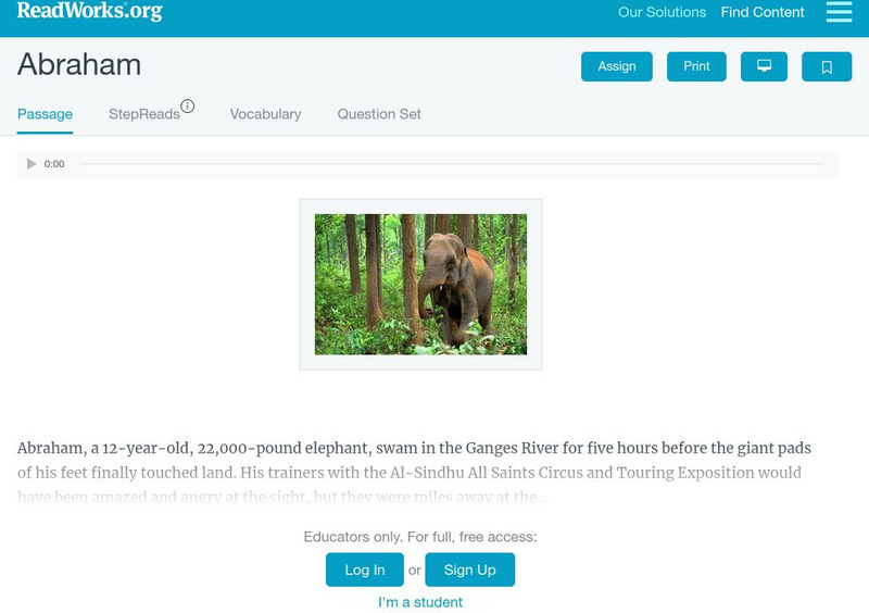
Read Works: Abraham
[Free Registration/Login Required] This nonfiction passage describes the life of a wild elephant named Abraham. This passage is a stand-alone curricular piece that reinforces essential reading skills and strategies and establishes...
Other
Internet Geography: Rivers
Discover rivers with this informative personal site containing helpful information and an easy-to-understand map illustrating the parts of a river. Learn about the negative effects of a river and some case study examples.
Other
River Systems of the World
Find statistics about the many river systems of the world. Includes facts such as length, drainage area, cities, notable tributaries, and more. Also provides links to sites about some of the rivers.
NASA
Nasa: Ganges River Delta
View a satellite image of the Ganges river delta. Click on the image to see a more detailed picture.
Curated OER
Ganges Map
NPR provides a detailed map of the Ganges River. Identifies major countries and cities on the river and surrounding areas. Highlights the river on the map in yellow. Displays other important geographic features.


