Curated OER
Regions of the United States
Middle schoolers research maps in order to propose geographic reasons for geographic patterns such as state boundaries, interstates and elevations.
BSCS Science Learning
Bscs: Restoring Oyster Reefs
After learning about the role of oysters in an estuary ecosystem and a population decline that oysters have faced over time from overharvesting and pollution, students work with data to determine where are ideal sites for restoring...
BSCS Science Learning
Bscs: Restoring Oyster Reefs
After learning about the role of oysters in an estuary ecosystem and a population decline that oysters have faced over time from overharvesting and pollution, young scholars work with data to determine where are ideal sites for restoring...
Science Education Resource Center at Carleton College
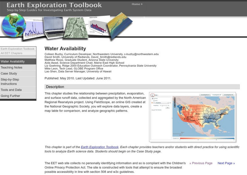
Serc: Water Availability
This instructional activity helps students discover the relationship between precipitation, evaporation, and surface runoff data. Using FieldScope, an online GIS created at the National Geographic Society, students will explore data...


