Curated OER
Geologic Mapping I
Students create a geologic map and cross-section of an area of horizontal sedimentary rocks, exposed in several locations. Map must include a complete key or legend with rock descriptions of the various formations.
Curated OER
Interior of the Earth
Sixth graders identify and describe the composition and physical properties of the layers of the Earth. They also explain how scientists used the scientific process to know about the center of the Earth. Finally, 6th graders read a...
American Geosciences Institute
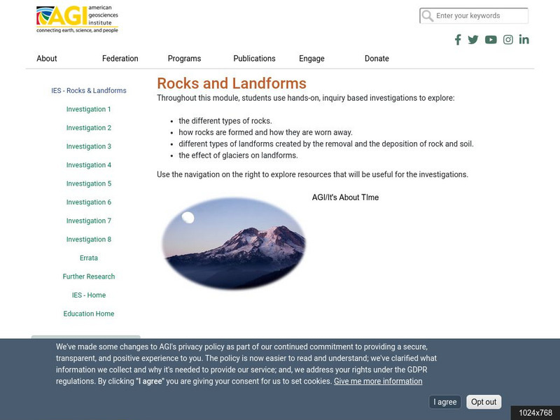
American Geosciences Institute: Rocks and Landforms
Eight hands-on lessons module where students learn about rocks and landforms. These inquiry-based investigations explore the different types of rocks, how they are formed, the different types of landforms, and the effects of glaciers on...
US Geological Survey
Usgs: Geologic Maps
This site has a good description of what this particular type of map represents. It also explains the colors and letter symbols, faults, and strike and dips.
Georgia Department of Education
Ga Virtual Learning: Geologic Time and Correlation
In this amazing interactive tutorial you will learn about what methods are used by geologists to learn about the history of the Earth. Investigate a geologic time scale and learn about how scientists have developed and organized a record...
CK-12 Foundation
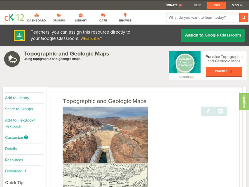
Ck 12: Earth Science: Topographic and Geologic Maps
[Free Registration/Login may be required to access all resource tools.] How to use topographic and geologic maps.
American Geosciences Institute
American Geosciences Institute: Earth Science Week: Map Making Basics
This activity will help middle schoolers discover some features as they create a geologic map.
American Geosciences Institute
American Geosciences Institute: Earth Science Week: Texas Rocks
For this investigation, students start exploring the U.S. Geological Survey's (USGS) online version of the geologic map of Texas. The geologic time scale shown will help them figure out how old the rocks are in various parts of Texas.
CK-12 Foundation
Ck 12: Earth Science: Map Projections
[Free Registration/Login may be required to access all resource tools.] How to use topographic, bathymetric, and geologic maps.
CK-12 Foundation
Ck 12: Earth Science: Maps
[Free Registration/Login may be required to access all resource tools.] How to use topographic, bathymetric, and geologic maps.
CK-12 Foundation
Ck 12: Earth Science: Maps
[Free Registration/Login may be required to access all resource tools.] How to use topographic, bathymetric, and geologic maps.
American Geosciences Institute
American Geosciences Institute: Earth Science Week: Geologic Maps and Groundwater
This activity is designed to give learners practice using a geologic map to understand how water shapes the land- and is stored within the land- in part of the Grand Canyon.
CK-12 Foundation
Ck 12: Earth Science: Maps
[Free Registration/Login may be required to access all resource tools.] How to use topographic, bathymetric, and geologic maps.


