Other
Uintah Basin Tah Project: Dominguez and Escalante Expedition 1776
The Dominguez-Escalante Expedition of 1776 was tasked with finding a route overland from Santa Fe, New Mexico to a Spanish mission in northern California. This page provides biographies of the people on this journey as well as the maps...
Other
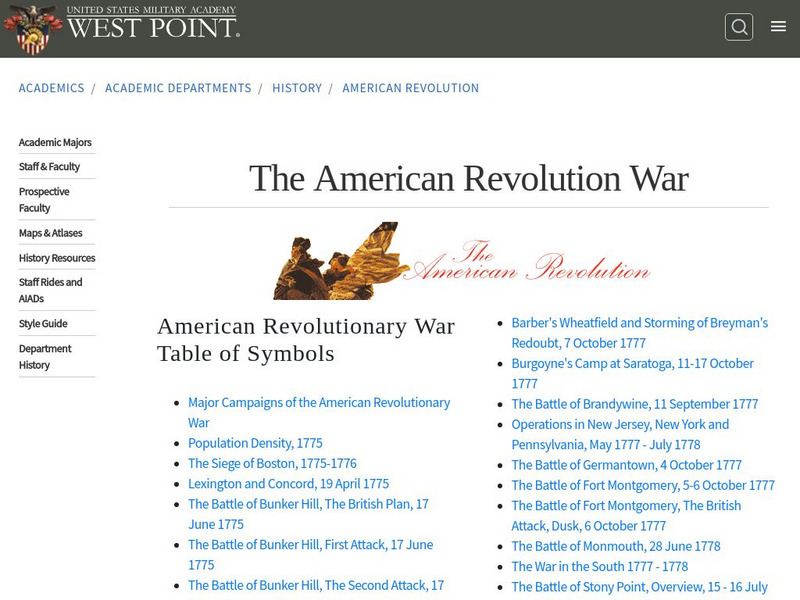
West Point: The American Revolution
A series of strategic maps, including battlegrounds, camp areas, sieges, and other key events of the American Revolution. In addition, students and teachers will find PowerPoint presentations on battles and campaigns of the American...
University of Oregon
Mapping History Project : Native American Tribes: 1783
This is a simple map showing where Native American tribes were established in 1783 in the new United States.
University of Georgia
University of Georgia: A Map of North America (1784)
A large and detailed Dutch map of North America as known to the Europeans in 1784.
University of Georgia
University of Georgia: Map of Va, Nc, Sc, Ga, and Fl (1788)
A 1788 map of the the new U.S. states of Virginia, North Carolina, South Carolina, Georgia and the Spanish lands of Florida.
University of Oregon
Mapping History Project : European Possessions Bordering the u.s.: 1783
This is a simple, but clear map showing the land claimed by Spain and Britain after the Treaty of Paris in 1783. Notice the disputed land claims along the border of what is now the United States.


