Curated OER
National Park Service: Varying Valleys
The NPS offers a good description of the three main types of valleys, lesson objectives, and modeling activities.
Texas A&M University
Ocean World: Bringing the Ocean to the Classroom
Online resource for students and teachers to see information on icebergs, fisheries, coral reefs, waves, currents and more. Provides teachers with learning activities. Has its own ask-an-expert site (Ask Dr. Bob), and provides real-time...
Curated OER
National Park Service: Denali Park: Glaciers
Denali Park in Alaska is home to a number of glaciers. Learn all about them at this site. Of particular interest is the link at the bottom of the page to a virtual tour of paired photographs that reveal changes in the landscape over time.
TeachEngineering
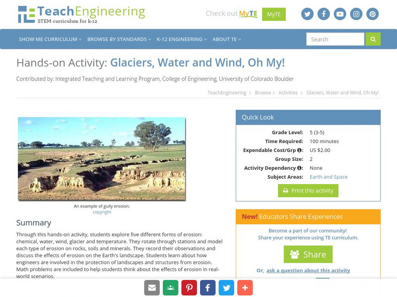
Teach Engineering: Glaciers, Water and Wind, Oh My!
This hands-on activity explores five different forms of erosion (chemical, water, wind, glacier and temperature). Students rotate through stations and model each type of erosion on rocks, soils and minerals. The students record their...
US Geological Survey
U.s. Geological Survey: Water Science for Schools
A collection of resources--pictures, maps, data, glossary--about water and the water cycle.
NASA
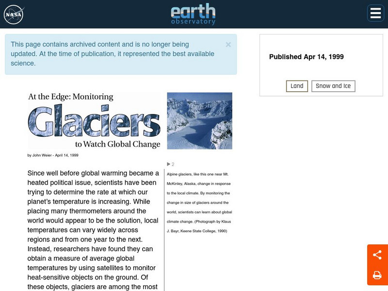
Nasa: At the Edge: Monitoring Glaciers to Watch Global Warming
Learn why scientists have been observing glaciers since before global warming came into the forefront. Learn about the different types of glaciers and the ways to monitor them. Some of the information may be dated. (April 14, 1999)
Other
Ohio Department of Education: The Long and Short Story of Ecological Succession
An ecology simulation where each student plays a role of an organism in an forest ecosystem. Students earn and keep track of their own survival points to determine which type of organism is most successful at survival during different...
Curated OER
National Park Service: Explore Nature: Views: Glaciers: Embark on a Journey
Learn about types, features, and movement of glaciers, erosion and deposition of rock, and locations of glaciers in our National Parks. Read about how scientists monitor glacial movement and conduct scientific research on climate's...
National Institute of Educational Technologies and Teacher Training (Spain)
Ministerio De Educacion: El Modelado Del Paisaje Ii
Throughout this unit you will be able to decipher the clues of the landscape design caused by external geological agents. It contains 15 interactive activities.
Society for Science and the Public
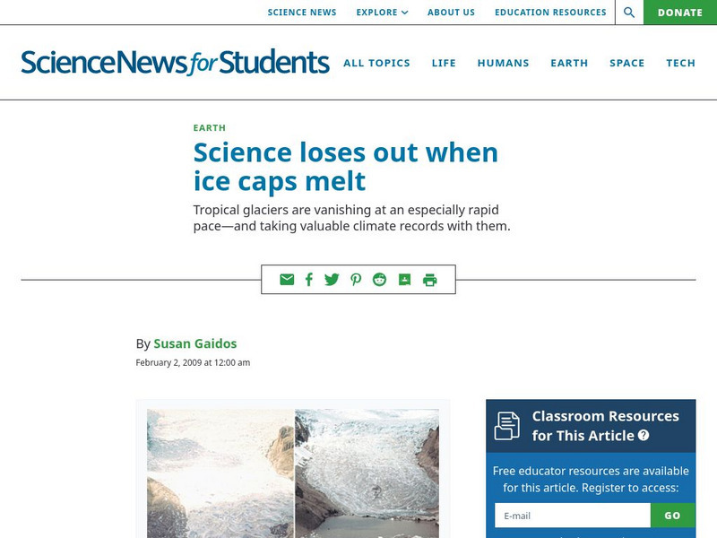
Science News for Students: Science Loses Out When Ice Caps Melt
Discusses the melting of mountain ice caps from climate change, and how this represents the loss of valuable historical data that disappears as the ice layers melt away. [February 2, 2009]
Exploratorium
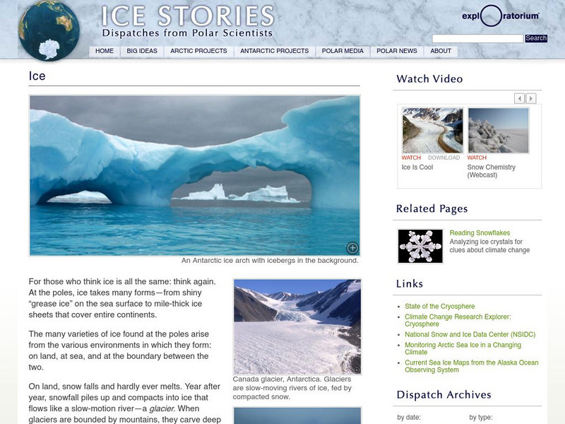
Exploratorium: Ice Stories: Dispatches From Polar Scientists: Ice
Water water everywhere. There are many types of ice found surrounding the poles of the earth. Get details on the varieties of ice studied by polar scientists.
Climate Literacy
Clean: Sea Level Rise
Students will learn the difference between sea ice and glaciers in relation to sea level rise using topographic maps.
Other
Wesleyan University: The Ice Age in Connecticut
A general site about the effects of the Ice Age on Connecticut's landscape; includes a section located in the middle of the page on glacial grooves.
Other
Sierra Club: Yosemite Glaciers
John Muir was in the Yosemite Valley in 1871. These notes describe his journey, explaining much about Yosemite glaciers and the progress they've made over time.
Other
Sierra Club: How Yosemite Was Formed
A lot of information on the glaciers that were once covering Yosemite. Be a detective and discover the evidence of glaciers in Yosemite. This is Chapter 11 from The Yosemite by John Muir, published in 1912.
Other
Georgia Perimeter College: The Permian Period
This resource provides basic information of the changes that took place during the Permian period as well as the animals that populated the Earth during this time.
US Geological Survey
Us Geological Survey: Glaciers Help Shape Mount Rainier
Description, facts, maps and history of Mt. Rainier, in Washington State. Also links to recent research and publications.
US Geological Survey
Usgs: The Water Cycle
Learn about the movement of water from Earth's surface to the atmosphere with this site. Site describes the water cycle in words and with a diagram. Also explored on the page is the distribution of Earth's global water supply.
Science Education Resource Center at Carleton College
Serc: Fire and Ice: Volcanic and Glacial Features on Land and Seafloor
Learners learn about glacial and volcanic features by examining and comparing bathymetric and topographic images of the Sand Point area of Alaska.
Curated OER
National Park Service: Rocky Mountain National Park: Geologic Activity
The National Park Service gives information on glaciers during the Bull Lake glaciation period and the Pinedale glaciation period. Find out what happened to these glaciers and what they left behind.
Curated OER
National Park Service: North Cascades: Glaciers / Glacial Features
The North Cascades has 316 glaciers. Learn how they were formed and how they affect the land.
Curated OER
National Park Service: Sleeping Bear Dunes Michigan: Glaciers/glacial Features
The National Park Service provides information on sand dunes that have been created by glaciers. Twice during its lifetime the glaciers have dumped large land masses into Michigan.
Georgia Department of Education
Ga Virtual Learning: Landscape Evolution
In this amazing online tutorial you will learn about how water, mass wasting, weathering, and erosion have help shape the landforms on Earth. The lesson includes many helpful interactive materials to prepare help you understand landscape...
US Geological Survey
Us Geological Survey: Wolverine Glacier
Learn about the history, mass balance and meteorlogical data, and view several photos of the Wolverine Glacier.


