Wikimedia
Wikipedia: Geocaching
A clear explanation of geocaching, including its history, variations of the activity, a list of terms used in geocaching, and guidelines, rules, and considerations for those interested in pursuing this activity. This thorough site also...
TED Talks
Ted: Ted Ed: How Does Your Smartphone Know Your Location?
GPS location apps on a smartphone can be very handy when mapping a travel route or finding nearby events. But how does your smartphone know where you are? Wilton L. Virgo explains how the answer lies 12,000 miles over your head, in an...
US Navy
United States Naval Observatory Homepage
United States Naval Observatory is a unique observatory run by the Navy. It does some of the grunt work of astronomy -- keeping accurate time, determining positions of stars (astrometry), etc. They are responsible for publishing the...
TeachEngineering
Teach Engineering: It's About Time
In past times, ocean navigators tossed a piece of wood over the side of their ships and noted how long until the ship passed the wood. They used this time measurement and the length of the ship to calculate their speed and estimate how...
TeachEngineering
Teach Engineering: Gps Receiver Basics
Students familiarize themselves - through trial and error - with the basics of GPS receiver operation. They view a receiver's satellite visibility screen as they walk in various directions and monitor their progress on the receiver's...
TeachEngineering
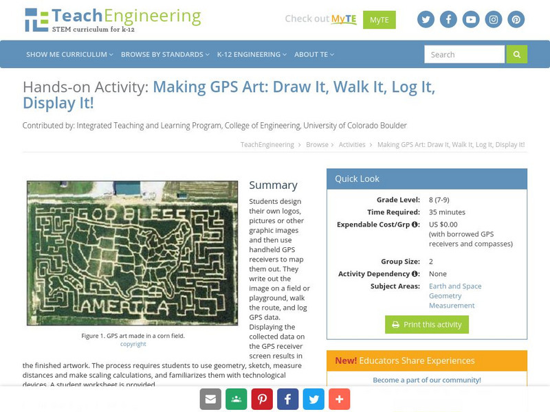
Teach Engineering: Gps Art
Students design their own logo or picture and use a handheld GPS receiver to map it out. They write out a word or graphic on a field or playground, walk the path, and log GPS data. The results display their "art" on their GPS receiver...
TeachEngineering
Teach Engineering: Gps Scavenger Hunt
Students go on a GPS scavenger hunt. They use GPS receivers to find designated waypoints and report back on what they found. They compute distances between waypoints based on the latitude and longitude, and compare with the distance the...
TeachEngineering
Teach Engineering: Find It!
In this activity students will learn the basic concept of Global Positioning Systems (GPS) using triangulation and measurement on a small scale in the classroom. Students discover how GPS and navigation integrate mathematic and...
TeachEngineering
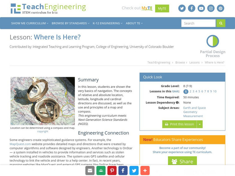
Teach Engineering: Where Is Here?
In this lesson, students are shown the very basics of navigation. The concepts of relative and absolute location, latitude, longitude and cardinal directions are discussed, as well as the use and principles of a map and compass.
TeachEngineering
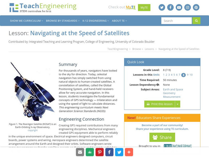
Teach Engineering: Navigating at the Speed of Satellites
For thousands of years, navigators have looked to the sky for direction. Today, celestial navigation has simply switched from using natural objects to human-created satellites. A constellation of satellites, called the Global Positioning...
TeachEngineering
Teach Engineering: Gps on the Move
During a scavenger hunt and an art project, students learn how to use a handheld GPS receiver for personal navigation. Teachers can request assistance from the Institute of Navigation to find nearby members with experience in using GPS...
Mocomi & Anibrain Digital Technologies
Mocomi: Global Positioning System
Developed by the U.S. military, The Global Positioning System (GPS) is a space-based satellite navigation system that provides location and time information in all weather, anywhere on or near the Earth.
Google
Google Earth Blog
The author has extensive experience using GPS and has worked with NASA. In his blog he posts information about the latest uses and applications of Google Earth.
Cosmo Learning
Cosmo Learning: Modern Surveying Techniques
A collection of video lectures from a course introducing students to modern surveying techniques. Webpage includes twelve lectures from a professor at the National Programme on Technology Enhanced Learning. Lectures vary in length and...
US Geological Survey
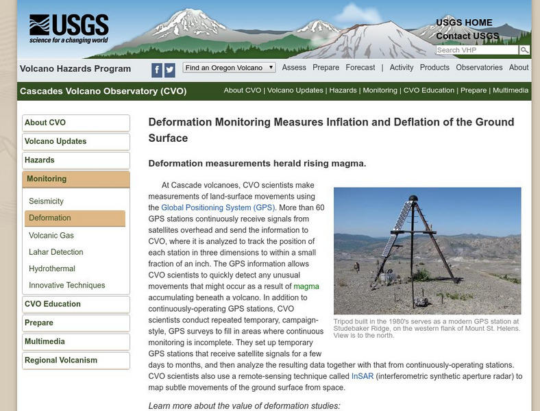
U.s. Geological Survey: Volcano Monitoring Using Global Position Systems
Learn how the U.S. Geological Survey uses global positioning systems (GPS) to monitor active volcanoes.
Curated OER
Space Shuttle Atlantis Sts 122 Launch Profile in Google Earth
The author has extensive experience using GPS and has worked with NASA. In his blog he posts information about the latest uses and applications of Google Earth.


