Curated OER
Natural Resources
Young scholars explore Iowa geography and topographic maps. In this geography and topographic maps lesson, student investigate maps, newspapers, Iowa flora and fauna. Students gain an understanding of how different landforms can be...
Curated OER
Path to Mars
Learners compare Earth and Mars to find similarities between the two planets using given websites. They collect and download pictures of geological features of both planets from print and non-print sources. Descriptions of the...
Curated OER
Geological Forces and Topography
Learners discuss and research the Earth's geological processes. In this geology lesson, students study maps of Utah and the United States to learn about geological features. Learners then complete the research cards for each area of...
PBS
Pbs Learning Media: Natural Wonders
Many of the interesting landmarks around the world are formed over time by natural processes familiar to us in our everyday lives. This still collage produced for Teachers' Domain features images of a variety of beautiful natural wonders.
Science Education Resource Center at Carleton College
Serc: Yellowstone! A National Park on a Hot Spot
A lesson plan with an accompanying PowerPoint learning module for students where they learn about the volcanic features of Yellowstone National Park. They use spreadsheets to make various calculations, such as the volume of material...
US Geological Survey
Usgs: Geologic Provinces of the United States: Records of an Active Earth
Discover what geological treasures abound all around the nation. The United States has been organized into provinces based on geological features. Click on a province on the map, or on the links below it, to view a page of information...
Other
Usgs: Geology in the Parks
Details regarding the geology of national parks in the United States.
Other
Leeds University: Teaching Resources in Structural Geology
A large collection of resources for teaching structural geology. Information is sorted into topic headings, including basic principles of organization, basic structures (folds, faults, shear zones), virtual field trips, strain, geology...
Other
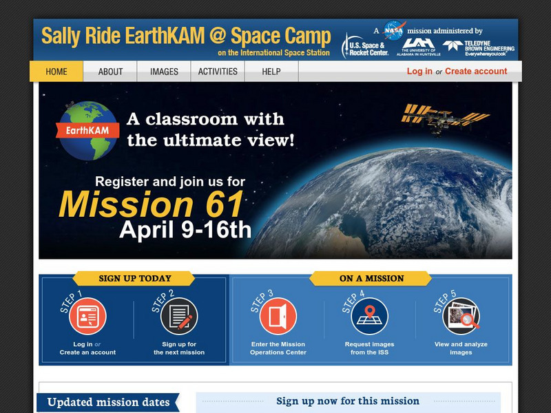
Nasa: Iss Earth Kam
Students get a whole new perspective of the world through images obtained from the International Space Station. Students can even request images to be taken through ISS EarthKAM. Activities and educator guides are provided.
University of Illinois
University of Illinois: Illinois State Geological Survey
A "research and service" organization, the ISGS's "programs encompass geologic mapping, water and mineral resources, environmental and engineering geology, geochemistry, and education." Read articles, view maps, study old aerial...
Science Education Resource Center at Carleton College
Serc: State Map Poster
This is a project where students pick a state, study its landforms and data about its geology, and produce a poster that outlines how the state's geography evolved over time. An example of such a poster is provided on a downloadable...
European Space Agency
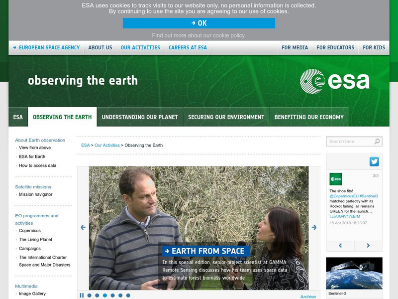
European Space Agency: Observing the Earth
This resource provides information about the Earth, as well as satellite images and videos of what is taking place on the earth currently.
Other
New Mexico Bureau of Geology & Mineral Resources: Lite Geology
Lite Geology is a publication for teachers that is available intermittently and can be freely downloaded. Previous issues going back to 1992 are also posted. Lots of information about geology, particularly in New Mexico, along with...
Indiana University
Indiana University Bloomington: Abc's of Indiana Geology 4 [Pdf]
One of four sets of 26 ABC cards that have definitions and descriptions of geologic terms and earth science concepts. This set looks at significant geological locations in Indiana.
Indiana University
Indiana University Bloomington: Abc's of Indiana Geology 3 [Pdf]
One of four sets of 26 ABC cards that have definitions and descriptions of geologic terms and earth science concepts.
Indiana University
Indiana University Bloomington: Abc's of Indiana Geology 2 [Pdf]
One of four sets of 26 ABC cards that have definitions and descriptions of geologic terms and earth science concepts.
Indiana University
Indiana University Bloomington: Abc's of Indiana Geology 1 [Pdf]
One of four sets of 26 ABC cards that have definitions and descriptions of geologic terms and earth science concepts.
Indiana University
Indiana University Bloomington: Cupcake Drilling [Pdf]
For this lesson, students will model geologic drilling using layered cupcakes to learn about rocks below the Earth's surface. Students will locate features on a geologic map and observe cupcake cores to evaluate the scientific techniques...
Science Education Resource Center at Carleton College
Serc: The Science of Puddles
Students will look at their schoolyard and determine where a puddle will form after a heavy rain. They will map the school yard and draw chalk lines to demonstrate their predictions. After a rain children will check their predictions and...
Science Education Resource Center at Carleton College
Serc: Investigating Geologic Features and Processes: A Field Investigation
In this hands-on field investigation, students will investigate geologic features and processes, make and record observations, then use their observations to develop questions to investigate. They will collect and analyze their own data...
Science Education Resource Center at Carleton College
Serc: Geological Forces Changing the Landscape at Minnehaha Falls
Learners observe and discuss what forces have changed Minnehaha Falls and shaped the geological features surrounding it.
Science Education Resource Center at Carleton College
Serc: Topographical Maps, Contour Lines and Profiles
In this mapping field lab learners determine the elevation of a given object in a designated area on the school campus using cartography tools. Then they use of these tools to create a contour map of the area.
Science Education Resource Center at Carleton College
Serc: Geology of the Grand Canyon: Interpreting Its Rock Layers and Formation
Students are challenged to interpret the rock layers and formation of the Grand Canyon, to discover what geologic processes took place to form the rock layers of the Grand Canyon.
Science Education Resource Center at Carleton College
Serc: National Park Service: Park Geology
Take a journey to the national parks to gain information about their geology through photographs, maps, and field notes. Learn about disturbed lands restoration, mineral and resource management, fossil deposits, geological features, and...


