National Institute of Educational Technologies and Teacher Training (Spain)
Ministerio De Educacion: Agentes Geologicos I
What do you know about external geological agents? What are they? How do they work? Where do they work? What effect do they have? You will find the answers to these questions in this unit which has 15 interactive activities.
National Institute of Educational Technologies and Teacher Training (Spain)
Ministerio De Educacion: Agentes Geologicos Ii
This unit will discuss how external geological agents shape different parts of our earth. It contains 15 interactive activities.
National Institute of Educational Technologies and Teacher Training (Spain)
Ministerio De Educacion: El Modelado Del Paisaje I
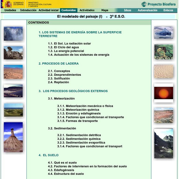
This unit will discuss how the external geological agents cause the arrangement of the landscape that can be found throughout the earth. It contains 18 interactive activities.
National Institute of Educational Technologies and Teacher Training (Spain)
Ministerio De Educacion: El Modelado Del Paisaje Ii
Throughout this unit you will be able to decipher the clues of the landscape design caused by external geological agents. It contains 15 interactive activities.
Vocabulary University
My vocabulary.com: Geology
This is a list of 26 vocabulary words and two word puzzles on the topic of Geology. It also offers a list of 279 Geology words.
Minerals Ed
Minerals Ed:kamloops"cache Creek"pavilion Lake Field Trip [Pdf]
Learn all about geological formations through this field trip from Kamloops through Cache Creek to Pavilion Lake. Formations discussed include ancient volcanism, plutonism, sedimentation, deformation and glaciation.
National Association of Geoscience Teachers
Nagt: High School Geology Field Trip From Los Angeles to Death Valley
This field trip can be adapted to any physical geology course to introduce the students to a wide variety of geologic features.
Science Education Resource Center at Carleton College
Serc: My Geologic Address: Locating Oneself in Geologic Time and Process
Students find a local location on a series of geologic maps (local,regional,and global) working from small to large scale. Map keys and map features are consulted in order to compose a "geologic address" from the most specific to the...
Discovery Education
Discovery Education: Path to Mars
Students use websites and other resource materials to compare and contrast features of Mars and Earth.
Science Education Resource Center at Carleton College
Serc: Minnesota River Valley Rocks: Outdoor Observational Investigation
In this investigation, young scholars will observe, record and compare the differing landscapes and rocks located at three sites along the MN River Valley.
Science Education Resource Center at Carleton College
Serc: Geologic Field Study: Investigating Coastal Features of Lake Superior
In this geologic field investigation, learners investigate the coastal geologic features of the western side of Lake Superior, and then develop inferences on the origins of the current coastal features.
Famous Scientists
Famous Scientists: William Smith
Find out about the English geologist credited with creating the first nationwide geological map of England and Wales.
Science Struck
Science Struck: Types of Landforms
Describes different landform types and their features. includes many good quality photographs.
Apple
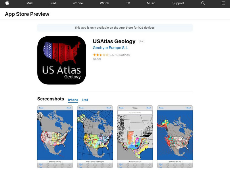
Us Atlas Geology
Apple provides a description of the USAtlas Geology app, developed by the USGS. The app provides 46 layers of vector information available at The National Atlas of the United States Website.
The Wonder of Science
The Wonder of Science: 4 Ess2 2: Mapping Earth's Features
Work samples, phenomena, assessment templates, and videos that directly address standard 4-ESS2-2: mapping Earth's features.
E-learning for Kids
E Learning for Kids: Science: Mediterranean Sea: Which Types of Landforms Do We Know?
Join Aldo, and learn about many different types of geological landforms.
National Geographic
National Geographic: Landscape
A landscape is part of the Earths surface that can be viewed at one time from one place. It consists of the geographic features that mark, or are characteristic of, a particular area. This resource examines different ways types of...
Extreme Science
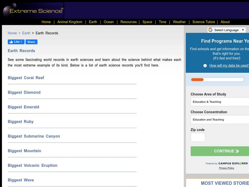
Extreme Science: World Records in Earth Science
What is the highest elevation on earth? How about the driest place on earth? Do you know where the greatest earthquake took place? Let Extreme Science take you to these places and other extreme places around the world.
Science Education Resource Center at Carleton College
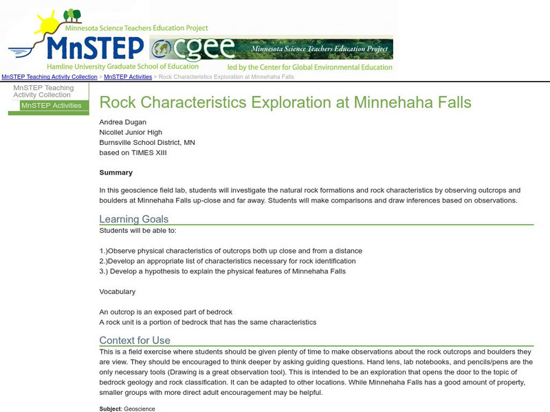
Serc: Mn Step: Rock Characteristics Exploration at Minnehaha Falls
An outdoor activity where students visit a local area, in this case a falls, and record observations that describe the rocky outcrops and boulders that are there. A good exercise in scientific observation.



![Minerals Ed:kamloops"cache Creek"pavilion Lake Field Trip [Pdf] Website Minerals Ed:kamloops"cache Creek"pavilion Lake Field Trip [Pdf] Website](https://d15y2dacu3jp90.cloudfront.net/images/attachment_defaults/resource/large/FPO-knovation.png)


