Curated OER
Mapping the Halifax Explosion
Students research the Halifax Explosion using historical maps.
Princeton University
Princeton University: Qed: Mapping Globalization: Maps
Several historical maps showing steamship routes around 1900, ancient world maps, and shipping routes and lines in 1912, including those that passed through the Panama Canal.
Princeton University
Princeton University: Qed: Mapping Globalization: Map Category Queries
A large database of historical maps that can be searched by map type, time period (prehistory to 21st century), theme, and world location. Themes cover economics, war, disease, trade, migration, and much more.
National Geographic
National Geographic: Comparing Historical Maps
Consider the changes that occur in towns, cities, countries through viewing maps from hundreds of years ago and modern day.
Johns Hopkins University
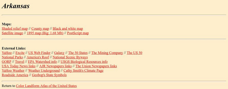
Johns Hopkins University: Arkansas State Maps
Learn more about the Arkansas' geography through the maps at this website from the Johns Hopkins University Applied Physics Laboratory. These maps give in depth information on the landforms found in Arkansas.
Johns Hopkins University
Johns Hopkins University: Arkansas State Maps
Learn more about the Arkansas' geography through the maps at this website from the Johns Hopkins University Applied Physics Laboratory. These maps give in depth information on the landforms found in Arkansas.
University of Texas at Austin
Perry Castaneda Library Map Collection: Americas Historical Maps
This collection from the University of Texas Library Online of historical maps contains a wide variety of maps from various parts of the continent and from different parts of history. Each map is accompanied by a brief description and is...
University of Texas at Austin
Perry Castaneda Library Map Collection: Historical Maps of Australia
These incredible historical maps from the University of Texas Library Online provide a clear and detailed account of Australia's history. They also include maps of New Zealand and Tasmania.
University of Texas at Austin
Ut Library Online: Historical Maps of Africa
This collection from the University of Texas Library Online of historical maps contains a wide variety of maps from various parts of the continent and from different parts of history. Each map is accompanied by a brief description and is...
University of Texas at Austin
Ut Library Online: Historical Map Collection
This extensive collection from the University of Texas Library Online of detailed maps of many regions of the Earth.
Other
Georgia Maps
This site allows the user to select various maps of Georgia. Such maps include Physical, Demographic, Political, Historical, and others.
University of Texas at Austin
Ut Library Online: Historical Maps of Asia
This collection from the University of Texas Library Online of historical maps contains a wide variety of maps from various parts of the continent and from different parts of history. Each map is accompanied by a brief description and is...
University of Texas at Austin
Ut Library Online: Historical Maps of the United States
This extensive collection of Historical United States maps from the University of Texas Library Online cover early inhabitants, exploration and settlement, territorial growth, military history, and later historical maps. These maps are...
University of Texas at Austin
Ut Library Online: Historical Maps of the Polar Regions
This collection from the University of Texas Library Online of historical maps contains a variety of maps from various parts of the polar region and from different parts of history. Each map is accompanied by a brief description and is...
ClassFlow
Class Flow: Map Tasia
[Free Registration/Login Required] This flipchart allows students to explore 3 basic types of maps, physical, political, and historical. Characteristics of each are discussed and web links to additional examples are given. A short quiz...


