Discovering Lewis & Clark
Discovering Lewis & Clark: The 'Great' Falls
This section of Discovering Lewis & Clark examines the 'Great Falls' which the expedition had to portage around during the westward leg of their 1805-06 exploration of the Louisiana Purchase.
Discovering Lewis & Clark
Discovering Lewis & Clark: Fort Mountain (Square Butte)
Features images and a vivid description of "Fort Mountain" or Square Butte as it is now called. Also, includes the observations of Meriwether Lewis from July of 1805.
Discovering Lewis & Clark
Discovering Lewis & Clark: Travelers' Rest to Lolo Pass
Features Clark's sketch map of Travelers' Rest to Lolo Pass, Montana.
Agriculture in the Classroom
National Agriculture in the Classroom: A Look at Montana Agriculture [Pdf]
What a terrific site to learn about a variety of aspects of the agricultural industry. You will find bulleted facts on the Montana climate, soil, crops, and animals.
Other
Natural Resource Information Center: Maps of Montana
Resource contains 14 different maps of Montana in four different formats. Maps range anywhere from the county maps to the Indian reservation maps.
Other
Natural Resource Information Center: Maps of Montana
Resource contains 14 different maps of Montana in four different formats. Maps range anywhere from the county maps to the Indian reservation maps.
Johns Hopkins University
The Johns Hopkins University: Montana State Maps
At this site from The Johns Hopkins University Applied Physics Laboratory, you can learn more about the topography of Montana through this informative website. These maps are extremely detailed.
Discovering Lewis & Clark
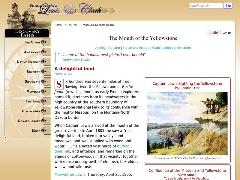
Discovering Lewis & Clark: The Mouth of the Yellowstone River
Learn about the Corps of Discovery's march to the Yellowstone river in the early 1800s.
Discovering Lewis & Clark
Discovering Lewis & Clark: Judith River
Read about the discovery of the Judith River named by William Clark in 1805 in honor of his future wife.
NSTATE
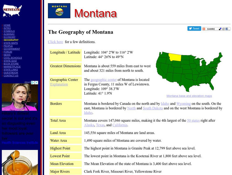
The Geography of Montana
Here you will find a variety of facts about the geography of the state of Montana. Find out the geographic center, total area, elevations and much more.
PBS
Pbs Learning Media: Montana: The Borders of Montana
Learners will study a map of Montana's terrain, learn about natural and manmade boundaries, label the major features of the state, and pick which area of Montana would be best for settlement and explain why.


![National Agriculture in the Classroom: A Look at Montana Agriculture [Pdf] Handout National Agriculture in the Classroom: A Look at Montana Agriculture [Pdf] Handout](https://d15y2dacu3jp90.cloudfront.net/images/attachment_defaults/resource/large/FPO-knovation.png)


