Scholastic
Study Jams! Earth's Oceans
Enjoy beautiful images and ocean facts together with the slide show, then see how much you absorbed by taking the quiz. Some of the topics covered in the presentation include water pressure, sunlight in the ocean, the names and locations...
Curated OER
Indian Ocean Explored
Students examine the rich array of marine wildlife that lives in waters surrounding the Indian subcontinent. They explore the relationships among organisms in coral reefs. They explore environmental dangers to coral reefs and research...
Curated OER
Indian Ocean Explored
Students consider the information presented in the WNET videotape of India: Land of the Tiger/Unknown Seas (Episode 3). In this biology lesson, students view the video and engage in a discussion about the questions posed in the video.
Curated OER
Earth: The Water Planet
Students elicit data on the water cycle, ocean topography, and island formation in this six lesson unit. The ocean floor and the properties of water are examined through a variety of discussions and hands-on experiments.
Wikimedia
Wikipedia: Bay of Bengal
This site from Wikipedia offers an extensive description of the Bay of Bengal in the northeastern part of the Indian Ocean. Describes the rivers, seaports, islands, shorelines, oceanography, climate, and more.
University of Wisconsin
The Why Files: Oceans' True Boundaries and "Garbage Patches"
A deep look at ocean circulation returns a surprise: Currents transport water - and non-degradable, floating plastic - between the ocean basins. Thus, some of the plastic in the South Atlantic "garbage gyre" was actually thrown away in...
BBC
Bbc: Asia Quake Disaster
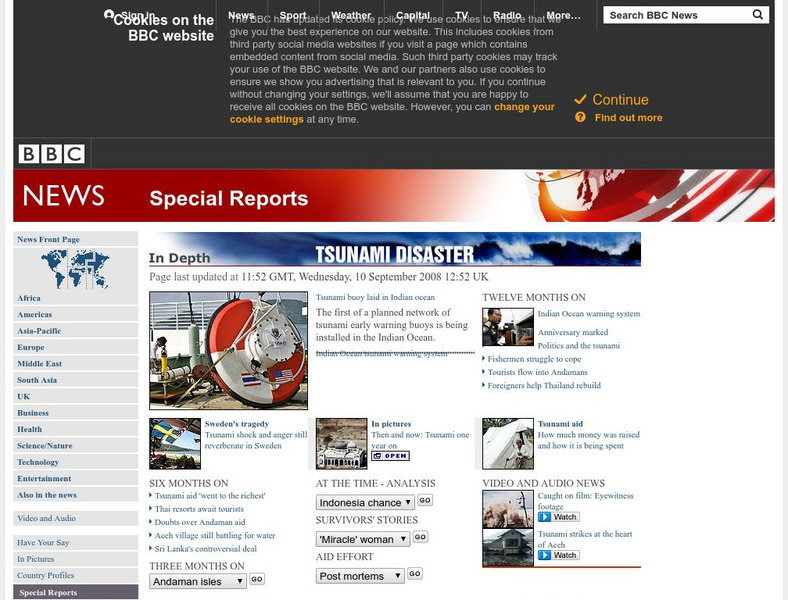
BBC's official page for the Tsunami disaster of December 2004. Key Stories, eyewitness accounts, reports from correspondents, and animations provide up to date coverage.
Other
Sultan Qaboos Cultural Center: Indian Ocean in World History
A media-rich examination of the Indian Ocean and its significance in world history. Interactive maps of the Indian Ocean and surrounding areas show changes from prehistoric times to the current day. Learning tools include historical...
United Nations
United Nations: Cartographic Section: Southeast Asia [Pdf]
This map from the United Nations shows the countries of Southeast Asia. Major rivers are labeled, as are cities.
Curated OER
University of Texas: Mauritius: Political Map
This map of Mauritius from the Perry-Castaneda Collection shows the island of Mauritius in isolation as well as a map inset showing its location east of the mainland of Africa and an inset of one of the smaller islands making up the...
Curated OER
University of Texas: Somalia: Political Map
A map of Somalia showing its regions' boundaries, neighboring countries, and strategic location on the Horn of Africa. From the Perry Castatneda Collection.
Curated OER
University of Texas: Somalia: Relief Map
A relief map of Somalia showing its highlands and rivers, but also starkly shows the lack of roads in the country. From the Perry Castaneda Collection.
Curated OER
University of Texas: Tanzania: Relief Map
A relief map of Tanzania showing its many lakes, rivers, and Mount Kilimanjaro. From the Perry-Castaneda Collection.
Curated OER
University of Texas: Mauritius: Relief Map
A relief map of the island nation of Mauritius showing the highland regions and rivers. An inset shows the relief of the island of Rodrigues, part of the country of Mauritius. Clicking on the map will enlarge it. From the Perry-Castaneda...
Missouri Botanical Garden
Missouri Botanical Garden: Fa Qs About Temperate Oceans
Learn why the ocean is blue. Learn the names of the oceans and how they received their names. Learn how the ocean forms waves.
Other
Harper College: South Asia Physical Geography
This is a map quiz of the physical features of South Asia. It contains lists of land bodies, rivers, and water bodies to be matched to a map of South Asia. It can be used as a study tool.
The Franklin Institute
Missouri Botanical Garden: Ocean Facts
Click on all the links to find out many interesting facts about the ocean. Why is the ocean blue? Why is it salty? Where do most of the animals and plants live? Which ocean is the biggest? The deepest? How much of the Earth is covered by...
University of Calgary
Merchants & Traders: 330 Bce 1500ce
Article provides a brief examination of the merchants and traders of Africa during the early period of African history.
Columbia University
Scientific Background on the Indian Ocean Earthquake and Tsunami
This site features information and related links that can be used by students and scientists to understand the events that led to the December 2004 Indian Ocean tsunami.
Nations Online Project
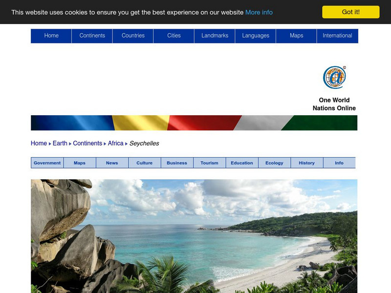
Nations Online: Seychelles
Presents a travel guide and country profile of the tropical island of Seychelles including a background overview and numerous links to comprehensive information on the islands' culture, history, geography, economy, environment,...
Nations Online Project
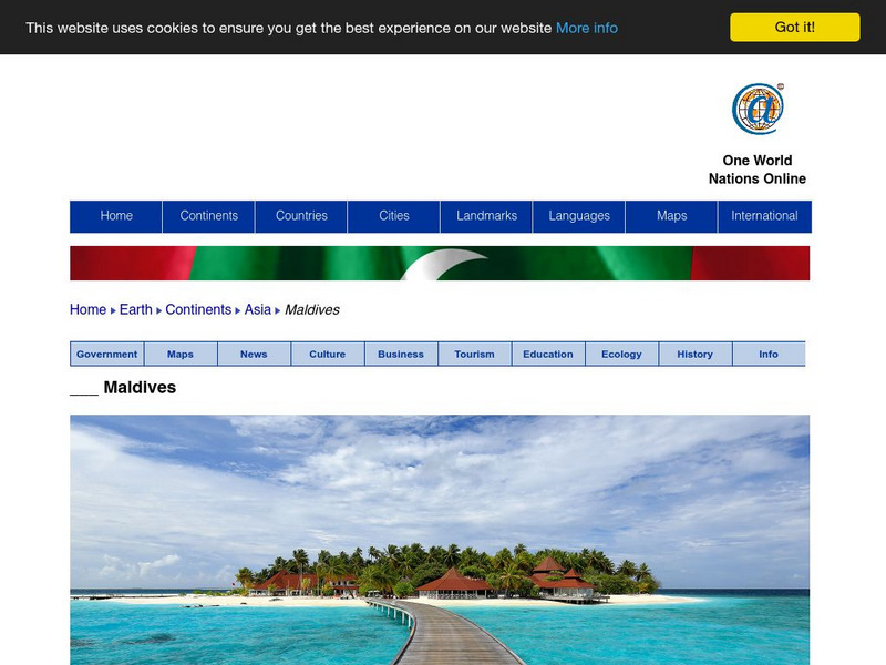
Nations Online: Maldives
Features a travel guide and country profile of Maldives in Southern Asia including a broad overview and numerous links to comprehensive information on the nation's culture, history, geography, economy, environment, population, news,...
Nations Online Project
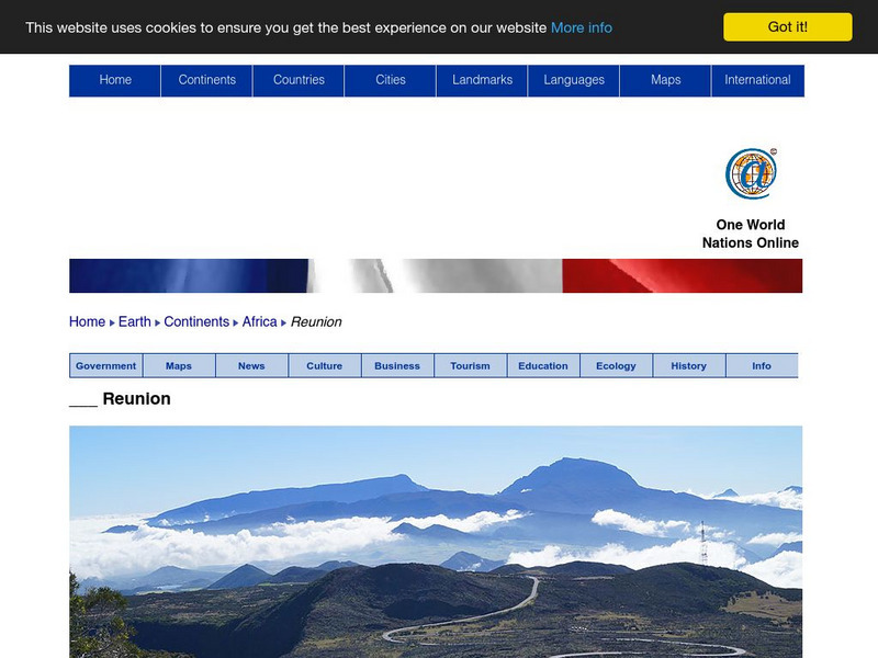
Nations Online: Reunion
Features a country profile and travel guide to the island of Reunion in the Indian Ocean, background details, and numerous links to comprehensive information on the island's culture, history, geography, economy, environment, population,...
Central Intelligence Agency
Cia: World Factbook: French Southern and Antarctic Lands
This resource from the CIA World Factbook provides a detailed fact sheet of the French Southern and Antartic Lands. The content covers the area's geography, people, government, economy, communications, transportation, military, and...



![United Nations: Cartographic Section: Southeast Asia [Pdf] Graphic United Nations: Cartographic Section: Southeast Asia [Pdf] Graphic](https://d15y2dacu3jp90.cloudfront.net/images/attachment_defaults/resource/large/FPO-knovation.png)


