Curated OER
Indus River Valley
Students examine and describe the course of the Indus River. Special Education students participate in a SMART Board activity which includes map work and the geography of the river valley. They determine what type of agriculture is grown...
Curated OER
Ancient River Civilizations Jigsaw PowerPoint
Ninth graders use captions to determine an artifact's function and to list the features of a civilization. They classify artifacts according to the 8 Features of Civilization and for each Feature of Civilization they locate one artifact...
Kidport
India: Geography
Concise synopsis of India, covering history, climate, population, key facts, and geography. Includes links to other books on India and India sites.
Curated OER
University of Texas: Pakistan: Political Map
A political map of Pakistan from the Perry-Castaneda Collection showing the major cities, province boundaries, rail lines, highways, and rivers.
Then Again
Then Again: Web Chron: Harappan Civilization
This site from the North Park University includes a brief description of Harappan civilization, including the trade carried on between the Harappan and other ancient civilizations.
The British Museum
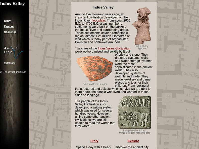
The British Museum: Indus Valley
This interactive site offers students an online glossary, as well as a game of matching pieces of pottery, spending the day with the maker's son, and exploring the ancient city of Mohenjo-daro.
Other
Harper College: South Asia Physical Geography
This is a map quiz of the physical features of South Asia. It contains lists of land bodies, rivers, and water bodies to be matched to a map of South Asia. It can be used as a study tool.
Other
River Systems of the World
Find statistics about the many river systems of the world. Includes facts such as length, drainage area, cities, notable tributaries, and more. Also provides links to sites about some of the rivers.
Curated OER
Indus River Photograph
Photograph of the Indus River that provides a good perspective of mountains and ancient ruins in the surronding area.
Curated OER
Indus River Photograph
Photograph of the Indus River that provides a good perspective of mountains and ancient ruins in the surronding area.
Curated OER
Science Kids: Science Images: Indus River
This NASA satellite image shows the Indus River basin. The Indus River flows through China, India and Pakistan and is 3180 kilometres (1976 miles) in length. For more information on rivers, check out the ten longest rivers in the world...


