Curated OER
Ireland
In this map of Ireland worksheet, students label an Ireland map with its regions, major cities, important landmarks, compass rose and a legend.
Curated OER
Map of United Kingdom and Ireland
For this Map of United Kingdom and Ireland worksheet, learners add details to a map of the United Kingdom and Ireland. They may also add color.
Ireland Information
Information About Ireland: An Outline Geography of Ireland
A general description of Ireland, including the physical landscape, rivers, climate, vegetation, urban settlement, manufacturing, agriculture, and others.
Other
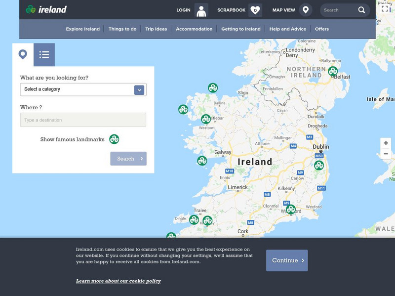
Ireland: Explore by Map
An interactive map of Ireland, with the ability to zoom-in or zoom-out, plus detailed maps of regions and cities. A link to the current weather in Ireland is also available.
Other
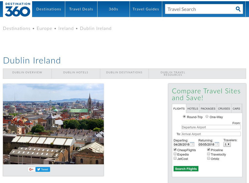
Dublin Ireland
A brief description of Dublin, Ireland with links to its history and some famous sites within Dublin.
Curated OER
Information About Ireland: An Outline Geography of Ireland
A general description of Ireland, including the physical landscape, rivers, climate, vegetation, urban settlement, manufacturing, agriculture, and others.
Curated OER
Ireland Map
A brief description of Dublin, Ireland with links to its history and some famous sites within Dublin.
Curated OER
Science Kids: Science Images: Map of Ireland
A map featuring Ireland and its neighboring countries.


