United Nations
United Nations: Cartographic Section: Great Lakes Region (Map 1) [Pdf]
The United Nations offers this very clear map of part of the Great Lakes region in eastern Africa. The lakes, of course, are labeled, as are the rivers, major cities, and countries.
United Nations
United Nations: Cartographic Section: Great Lakes Region (Map 2) [Pdf]
This map of the Great Lakes region in Africa from the United Nations shows the large lakes, the countries the lakes touch, and rivers that flow into and out of the lakes.
Curated OER
University of Texas: Central Africa: Relief Map
A good relief map of the countries of Central Africa showing mountains, lakes, and valleys. Clicking on the map will enlarge it. From the Perry Castaneda Collection.
Curated OER
University of Texas: Kenya: Relief Map
A relief map of Ethiopia clearly showing the Great Rift Valley, mountains, and plains. Clicking on the map will enlarge it. From the Perry Castaneda Collection.
Curated OER
University of Texas: Uganda: Political Map
A political map of Uganda showing its major cities and highways, district boundaries, neighboring countries, and physical features. Clicking on the map will enlarge it. From the Perry Castaneda Collection.
Curated OER
University of Texas: Uganda: Relief Map
A relief map of Uganda showing the terrain of the country, but particularly showing the rivers that crisscross the country and drain into the lakes bordering the country. From the Perry Castaneda Collection.
Curated OER
University of Texas: Tanzania: Relief Map
A relief map of Tanzania showing its many lakes, rivers, and Mount Kilimanjaro. From the Perry-Castaneda Collection.
Missouri Botanical Garden
Missouri Botanical Garden: Lakes and Ponds
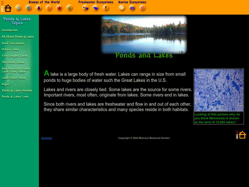
This illustrated website features facts about lakes and ponds and their special place in geography, natural history, and as a biome.
Travel Document Systems
Tds: Uganda: Geography
A brief look at the physical environment of Uganda including its location, terrain, physical features, and climate. Information is from the CIA World Fact Book.
Science4Fun
Science4 Fun: Lakes
What is a lake? Learn about some famous lakes in the world and how they are formed.


![United Nations: Cartographic Section: Great Lakes Region (Map 1) [Pdf] Graphic United Nations: Cartographic Section: Great Lakes Region (Map 1) [Pdf] Graphic](https://d15y2dacu3jp90.cloudfront.net/images/attachment_defaults/resource/large/FPO-knovation.png)

