Scholastic
Study Jams! Landforms
First-class photographs dazzle your class as they are acquainted with Earth's various landforms. To reinforce learning, they can take a multiple-choice quiz, sing along to a karaoke song, or review key vocabulary terms, all on this...
Curated OER
Marine Energy
In small groups, energy engineers research and make a topographic map of a marine natural resource. They report to the rest of the class pros and cons of extracting their assigned resource. The two activities may take up to four class...
Curated OER
Topographic Maps
Your choice of hands-on topographic mapping tasks is provided in this resource. From actual map-making to viewing and interpreting stereographic photos, the activities are sure to succeed. To make the most of this activity, you will need...
NorthEast Ohio Geoscience Education Outreach
Hydrology and Landforms
Three days of erosion exploration await your elementary geologists. Learners begin by examining rivers via Google Earth, then they model water flow in sand, and finally, they identify resulting landforms. This lesson is written...
Curated OER
51st State
Students, in small groups, design a new state and create a brochure to present to an agency representative outlining the given information in the lesson. Students use templates in the compute lab to write sentences they have created...
Curated OER
Create a Country
Learners work in small groups to list features and elements found on a variety of grade- appropriate maps. They develop a class list of map features and elements to draw from as they create a map of an imaginary country.
Curated OER
Geography Booklet
Sixth graders explore geography terms. Students use resources to find real examples of landforms in the world. They create a map showing the landform. students label the surrounding features, countries and states. Students use each...
Curated OER
How Volcanoes Grow
Students study volcanoes including rock fragments, ash, aerosols and gases. In this volcano lesson students divide into groups and build models of the three major types of volcanoes.
Curated OER
Plate Tectonics
Students examine plate tectonics and landforms. In this plate tectonics lesson students complete an activity. Students practice drawing maps that show different fault lines and the land formations that were caused.
Curated OER
Asia Crossword
In this geography worksheet, learners complete a crossword puzzle on the continent of Asia. They answer 21 questions related to the type of government systems found, capital cities, deepest lake, and lowest population density.
Curated OER
Tall as a Mountain, Flat as a Plain
Students examine pictures of various landforms before placing them on a chart under the appropriate label.They sing songs about landforms to the tune of "She'll Be Comin' 'Round the Mountain." Next, they use non-edible baker's dough to...
Curated OER
Landforms E-mail Project
Students identify and explain geographic terms. They write descriptions of the terms. Students discuss landforms and draw pictures to illustrate them. Students compose and present oral reports about landforms.
Curated OER
Lesson: Journey of a Tree
Third graders explore the operation of a Christmas farm and how trees are shipped. After taking a tour of a Christmas tree farm and researching transportation, location and cost issues, 3rd graders create a map to show the distribution...
Curated OER
Regions of South America
Students explore facts about South America in the four lessons of this unit. Booklets are created from the materials produced as the class delves into the topic.
TeachEngineering
Teach Engineering: Can You Catch the Water?
Students construct a three-dimensional model of a water catchment basin using everyday objects to create hills, mountains, valleys and water sources. They experiment to see where rain travels and collects, and survey water pathways to...
TeachEngineering
Teach Engineering: Carve That Mountain
In this activity, students further investigate major landforms (e.g., mountains, rivers, plains, hills, oceans and plateaus). They build a three-dimensional model of a landscape depicting several of these landforms. Once they have built...
Other
Science4 Us: Features
In the Earth's Features module, students explore mountains, volcanoes, caves, rivers and oceans and their place on Earth.
National Geographic
National Geographic: Mapping Landforms
Students will study landform maps of states and then create a project of their own.
MadSci Network
What Plates Are Colliding to Form the Andes Mountains?
Read the informative and detailed explanation of what plates are colliding to form the Andes Mountains. David Scarboro provides his expert advice to help students understand the answer to this question.
Science Education Resource Center at Carleton College
Serc: Investigation of the Minnehaha Falls Area
A lesson plan where students observe rock types and classify the rocks in the Minnehaha falls area. Students will also make predictions about the cause of the shape of the landscape. Students will record their findings in a journal....
Other
Himalayas: Travel Guide
Detailed and thorough information about the Himalaya Mountains. Learn all about this mighty mountain chain and its diverse environment.
Other
Greatest Places: Namib
Explore the Namib Desert and learn about its location, the Skeleton Coast, mirages, and general information about this home to the highest sand dunes in the world.
Encyclopedia Britannica
Encyclopedia Britannica: Andes Mountains
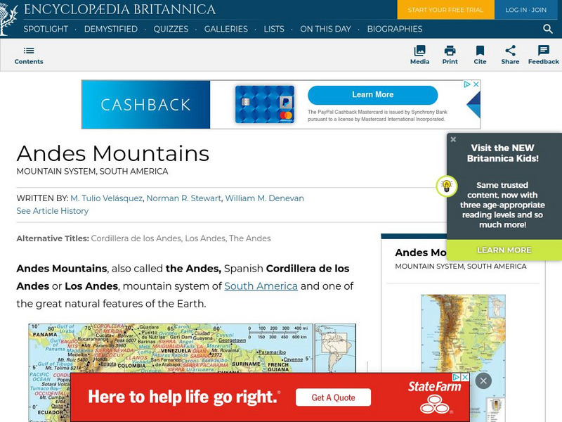
Brief overview of the Andes Mountains. Contains links to related topics and helpful facts about the Andes.
CK-12 Foundation
Ck 12: Second Grade Science: Mountains
[Free Registration/Login may be required to access all resource tools.] Covers how mountains are formed through the movement of the Earth's plates.


