Curated OER
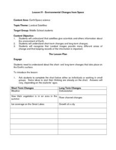
Environmental Changes from Space
Learners discuss Landsat Satellites and the use of the images they provide as well as the purpose of keeping records of the information from the satellites. The class works in groups to complete a worksheet on short term and long term...
NASA
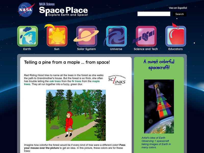
Nasa: The Space Place: Sorting Out Trees in the Forest
This site from the National Aeronautics and Space Administration provides fun information on the subject. "people can do their jobs even better if they have very accurate images of the ground. Oddly enough, the best way to see lots of...
American Geosciences Institute
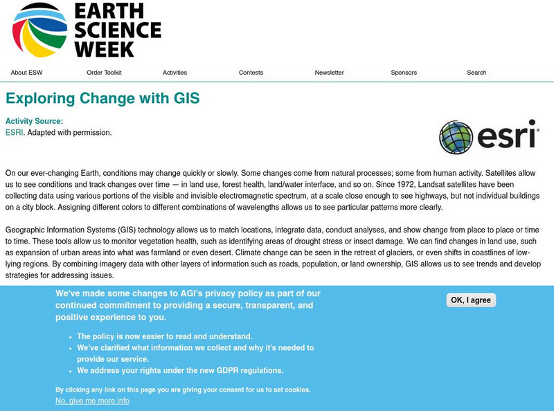
American Geosciences Institute: Earth Science Week: Exploring Change With Gis
Gives an overview of how Geographic Information Systems technology is used to monitor changes in conditions on the Earth. Provides a link to the website with lessons on using GIS. (Due to site changes, you may need to search for teachers...


