Library of Congress
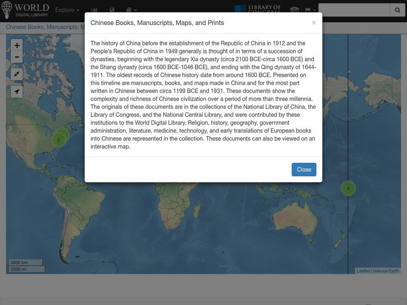
World Digital Library: Chinese Books, Manuscripts, Maps, and Prints: Map
A collection of primary source materials linked to a map that explore the history of China from 1200 B.C. to 1931. This is a world map with links on other continents as well, so zoom into China and click on a numbered circle. A popup...
Library of Congress
World Digital Library: United States History: Map
A collection of primary source materials linked to a map that explore a wide scope of events in the history of the United States from 1492 on. Click on any numbered circle and a popup appears showing one or more thumbnails and where the...
Library of Congress
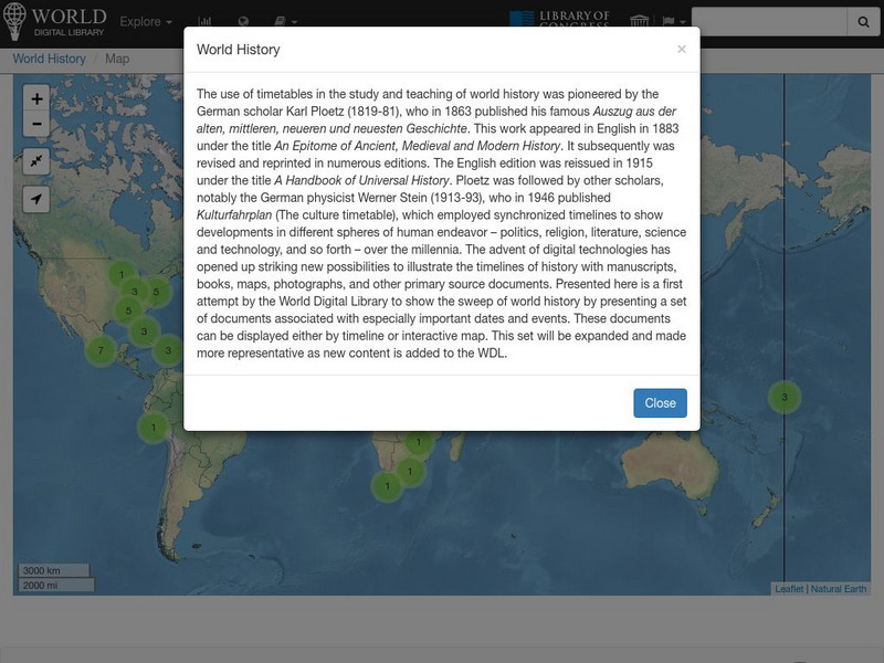
World Digital Library: World History: Map
A collection of primary source materials linked to a map that explore a wide scope of events in the history of the world. Click on any numbered circle and a popup appears showing one or more thumbnails and where the material is located....
Library of Congress
World Digital Library: United States History: Timeline
A collection of primary source materials presented on a timeline that showcase events in the history of the United States from 1625 on. Click on an image to go to a page with descriptive information about each item. Each description has...
Library of Congress
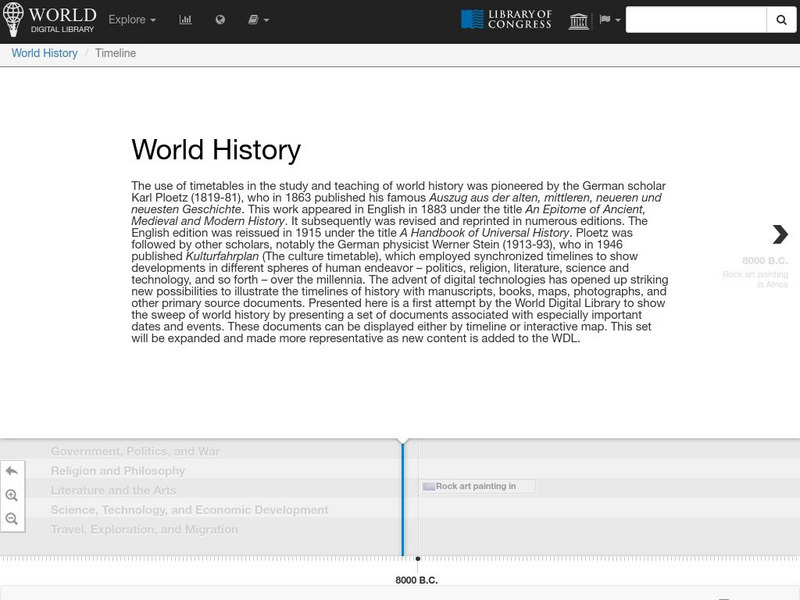
World Digital Library: World History: Timeline
A collection of primary source materials presented on a timeline that showcase events in the history of the world beginning with Moses and the Ten Commandments in 1240 B.C. Click on an image to go to a page with descriptive information...
Library of Congress
Loc: Mapping the National Parks
A rich and historically significant collection of maps of various national parks throughout the United States. Features special sections on Yellowstone, Acadia, the Grand Canyon and the Smoky Mountains. Includes historical photographs of...
Library of Virginia
Virginia Memory: My County Tis of Thee: Counties of Virginia
A lesson plan in how to use historical maps to identify Virginia's counties and learn the political geography of Virginia.
Library of Congress
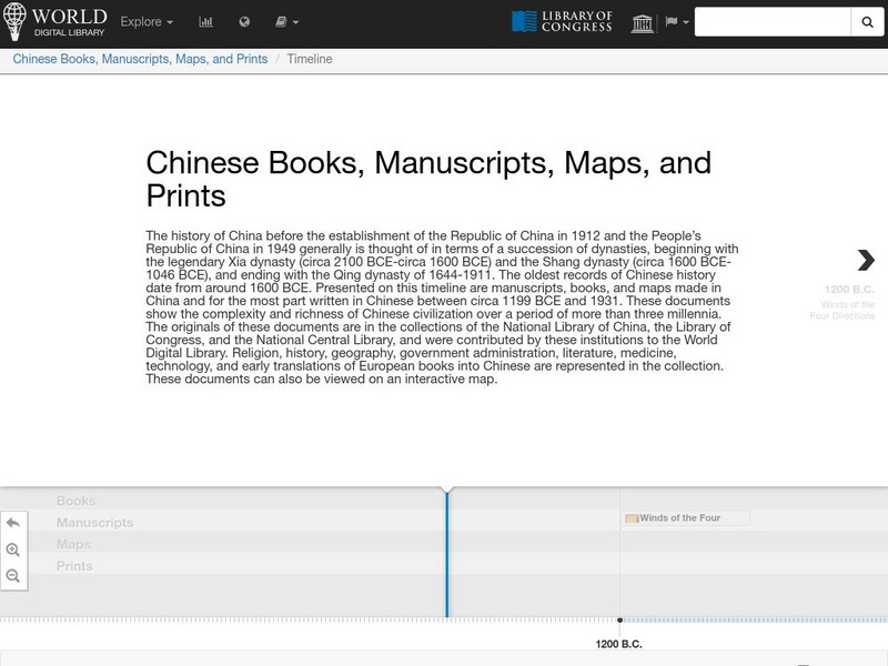
World Digital Library: Chinese Books, Manuscripts, Maps, and Prints: Timeline
A collection of primary source materials presented on a timeline that explore the history of China from 1200 B.C. to 1931. Click on an image to go to a page with descriptive information about each item. Each description has an audio...
Other
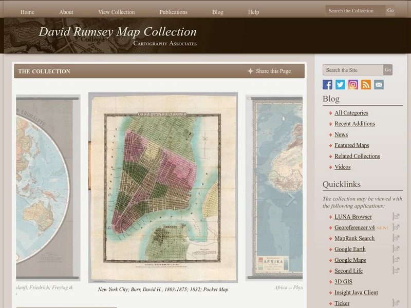
The David Rumsey Historical Map Collection
"The David Rumsey Historical Map Collection focuses on rare 18th and 19th century North and South America cartographic history materials. Historic maps of the World, Europe, Asia, and Africa are also represented. The collection...
The Newberry Library
Newberry Library: Historic Maps in K 12 Classrooms
Great resource for teachers of geography and American history for all levels. You will find lesson plans based on the use of maps for all ages.
Library of Congress
Loc: Map Collections 1500 2002
This collection provides maps dating back to 1500 up to the present. The collection includes: cities, towns, discovery and exploration, conservation and environment, military battles, cultural landscapes, transportation, communication,...
Other
State University of New York at Stony Brook: New York State Historical Maps
Historical maps of New York and descriptions of each map.
National Geographic
National Geographic: Mapping
Media-rich resource features extensive mapping tools including activities, games, reference, printables, and more.
National Endowment for the Humanities
Neh: Edsit Ement: Mapping Our Worlds
In this activity, introduce your learners to the world of maps and discover a world of information online. Students learn how to identify different types of maps, comparing maps to the rooms of a house.
Johns Hopkins University
Johns Hopkins University: Arkansas State Maps
Learn more about the Arkansas' geography through the maps at this website from the Johns Hopkins University Applied Physics Laboratory. These maps give in depth information on the landforms found in Arkansas.
Johns Hopkins University
Johns Hopkins University: Arkansas State Maps
Learn more about the Arkansas' geography through the maps at this website from the Johns Hopkins University Applied Physics Laboratory. These maps give in depth information on the landforms found in Arkansas.
Princeton University
Princeton University: Maps of the Islamic Middle East
This site from the Princeton University includes a map collection from Roolvink's "Atlas of the Middle East" with a variety of historical maps on Islam.
University of Texas at Austin
Perry Castaneda Library Map Collection: u.s. Maps
At this site find any type of map on the U.S. and any of its states here. Great site for teachers to print out maps to use in the classroom.
University of Texas at Austin
Perry Castaneda Library Map Collection: Historical Maps of Russia
This outstanding collection of historical maps contains a wide variety of maps from various parts of the Soviet Union as well as the former Soviet Republics, and from different parts of history. Each map is accompanied by a brief...
University of Texas at Austin
Perry Castaneda Library Map Collection: Americas Historical Maps
This collection from the University of Texas Library Online of historical maps contains a wide variety of maps from various parts of the continent and from different parts of history. Each map is accompanied by a brief description and is...
University of Texas at Austin
Perry Castaneda Library Map Collection: Historical Maps of Australia
These incredible historical maps from the University of Texas Library Online provide a clear and detailed account of Australia's history. They also include maps of New Zealand and Tasmania.
University of Texas at Austin
Perry Castaneda Library Map Collection: Historical Maps of Europe
This collection from the University of Texas Library Online of historical maps contains a wide variety of maps from various parts of Europe and from different parts of history. Each map is accompanied by a brief description and is clear...
University of Texas at Austin
Ut Library Online: Historical Maps of Africa
This collection from the University of Texas Library Online of historical maps contains a wide variety of maps from various parts of the continent and from different parts of history. Each map is accompanied by a brief description and is...
University of Texas at Austin
Ut Library Online: Historical Map Collection
This extensive collection from the University of Texas Library Online of detailed maps of many regions of the Earth.


