Forum Romanum
Outlines of Roman History: Introduction the Land and the People
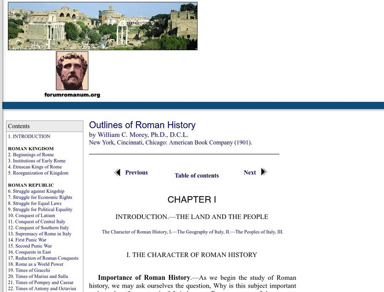
This is the introductory chapter of Morey's 1901 textbook on Roman History. It sets out the geography of Italy and the Italic tribes who lived there. The text is old, but surprisingly easy to read and packs in a lot of information.
Forum Romanum
Outlines of Roman History: Beginnings of Rome: The Situation of Rome
The seven hills of Rome are shown on two maps, showing the hills and their relation to neighboring lands on the Italian peninsula. There is a brief discussion on the geographic importance of the hills.
Loyola University Chicago
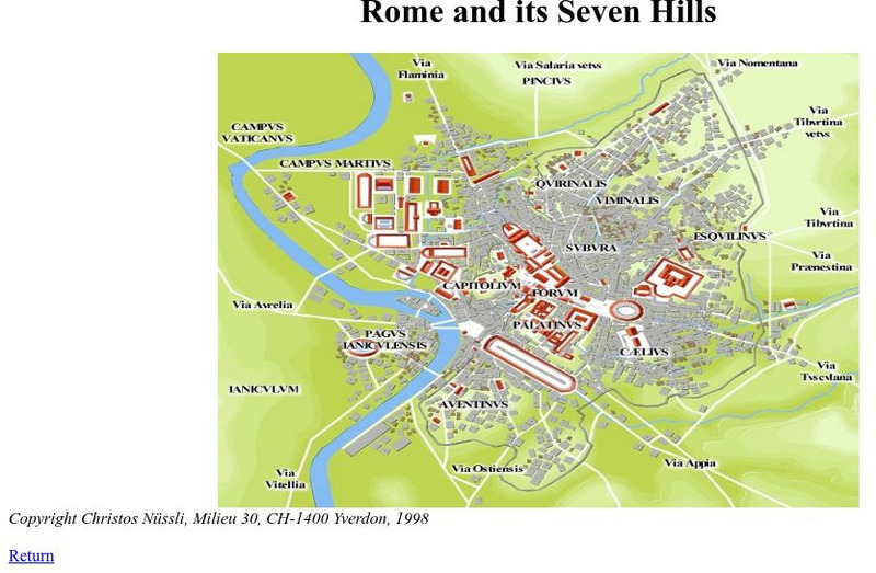
De Imperatoribus Romanis: Rome and Its Seven Hills
This online map shows Rome, the seven hills, the roads that lead into Rome, and major buildings. Labeled in Latin, but easy to figure out.
Other
Maps of Ancient Rome
This ancient history site features maps of Rome from just the "seven hills" to the entire city plan with the areas labeled in Latin.
PBS
Pbs: The Roman Empire of the 1st Century: Mapping an Empire
In this instructional activity, students will compare a map of the Roman Empire in 44 BC with one of the Roman Empire in 116 AD. Using these two maps as a reference, students will use critical reading skills to learn about the expansion...
Other
Parco Del Delta / the Po River
A comprehensive description of the Po River, the largest river in Italy.
University of Calgary
University of Calgary: Roman Domination of the Mediterranean
This map, which is provided for by the University of Calgary, displays the extent of the territories governed by the Roman Republic in 86 BC.
University of Calgary
U Calgary: Italy During the Decline of the Etruscan League and the Rise of Rome
A map showing the relative small size of Rome in relation to its neighbors in 380 BC. The Greek colonies are shown at the foot of the boot of Italy, the Etruscan League is to the north and the Italic Tribes to the east.
Other
Rene Seindal: The Seven Hills of Rome
An article which discusses the early history of Rome as it relates to its geographic setting. A description of each of the seven hills of Rome is provided. Each is accompanied by a set of photographs.
Friesian School
Fresian School: Animated History of Rome and Romania
This animated graphic, which is provided by the Fresian School, allows you to see how Rome grew and shrank between 300 BC and 1453 AD. The map changes in increments of about 50 years.
Franco Cavazzi
Roman empire.net: Roman Italy Map
This site from Roman-Empire.net is an interactive map of Roman Italy. Areas, Regions, Tribes, Towns, Cities, Rivers, Lakes, and Mountains can be searched for with pull-down menus.


