Curated OER
Blank Map of Canada
In this Canadian geography activity, students use a blank map of Canada to color and label important geographical features and cities. Students will need to do their own research before labeling this map.
Curated OER
Canada Geography
In this Canadian provinces worksheet, students research the provinces in Canada and write the names on the lines below and then write them on the map.
Other
Canadian Tourism Commission: Maps canada.travel
This interactive map is an excellent student and teacher resource. Select Places to Go to show regions, provinces or territories and capital cities. Hover over the area to get links to more detailed information. Get up to the minute...
Other
Office of the Prime Minister: Colouring Book
Colour six pictures of Canadian Symbols. Download the pictures and colour them with crayons or coloured pencils.
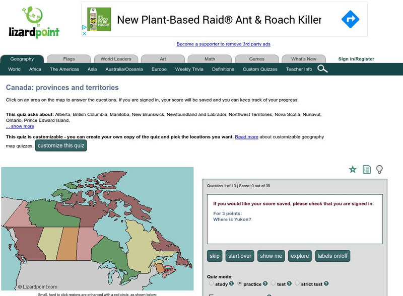
Lizard Point Quizzes
Lizard Point: Test Your Geography Knowledge Canada
Use this site to test your students, and your knowledge regarding the location of the provinces and territories of Canada.
PBS
Pbs Learning Media: The Geography and Natural Resources in Canada
Students will explore a physical map showing natural resources in Canada to analyze the impact of the environment on the distribution of natural resources. Students will write about the information they discover using the provided...
Geographic
Map of Canada
Basic map of Canada. Includes major cities, coastlines, major lakes and rivers, and bays.


