Curated OER
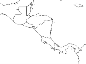
Central America Map wtih Country Borders
In this blank outline map worksheet, students explore the political boundaries of Central America and the nations there. This map may be used in a variety of classroom activities.
Central Intelligence Agency
Cia: World Factbook: Regional and World Maps
Maps of major areas of the world can be downloaded here. The maps have excellent detail and are in color.


