Curated OER
Earth and Space Science: Exploring Earthquakes
Students explore earthquakes. In this earthquake activity, students research earthquakes and identify where they take place. Students use map skills to track down earthquake locations. There are internet sites suggested in this activity.
California Institute of Technology
Scedc: Investigating Earthquakes Through Regional Seismicity
Learn about earthquakes and how they are measured. Follow up with some activities that help to enhance your learning.
Geographypods
Geographypods: Hazards and Risk Management: Earthquakes
This learning module looks at earthquakes. It discusses areas of earthquake activity, how they are measured using the Richter scale, and how scientists try to predict earthquakes. Includes handouts, slideshows, activities, and videos.
Other
Federal Emergency Management Agency: Tremor Troop: Earthquakes [Pdf]
A 260-page unit of activities on earthquakes. Covers what they are, their cause, why and where they occur, their impact on the Earth, how they are measured, and safety and survival. Includes worksheets and has a glossary at the end.
US Geological Survey
Usgs: Earthquakes
The U.S. Geological Survey sponsors this site about the history of earthquakes in the United States as well as information about how earthquakes are detected and measured.
Science Education Resource Center at Carleton College
Serc: The 2004 Sumatra Earthquake and Tsunami
Using real seismic recordings from a number of seismic stations, students find the location of the epicenter of the 2004 Sumatra earthquake. They next determine the path of the tsunami triggered by it, and calculate how much lead time...
TeachEngineering
Teach Engineering: Earthquakes Living Lab: Epicenters and Magnitudes
Students learn how engineers characterize earthquakes through seismic data. Acting as engineers, they use real-world seismograph data to locate earthquake epicenters via triangulation and determine earthquake magnitudes.
Michigan Technological University
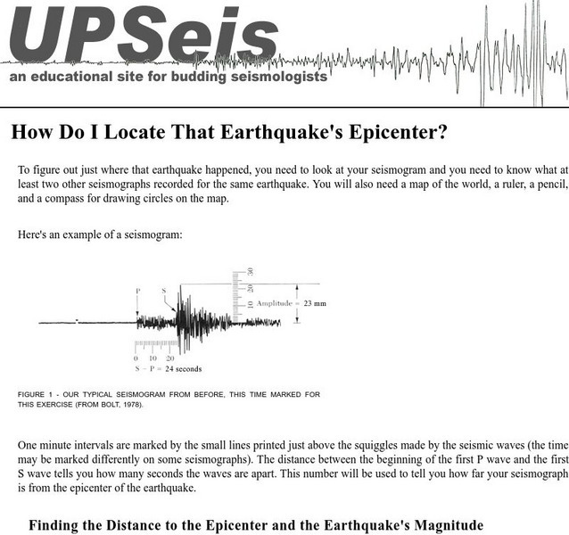
Michigan Tech: Locating an Earthquake's Epicenter
Gives directions on how to find the epicenter of an earthquake, the distance to the epicenter and the magnitude of the earthquake.
US Geological Survey
U.s. Geological Survey: Earthquakes
This resource provides information about earthquakes, including how they are measured.
Science Education Resource Center at Carleton College
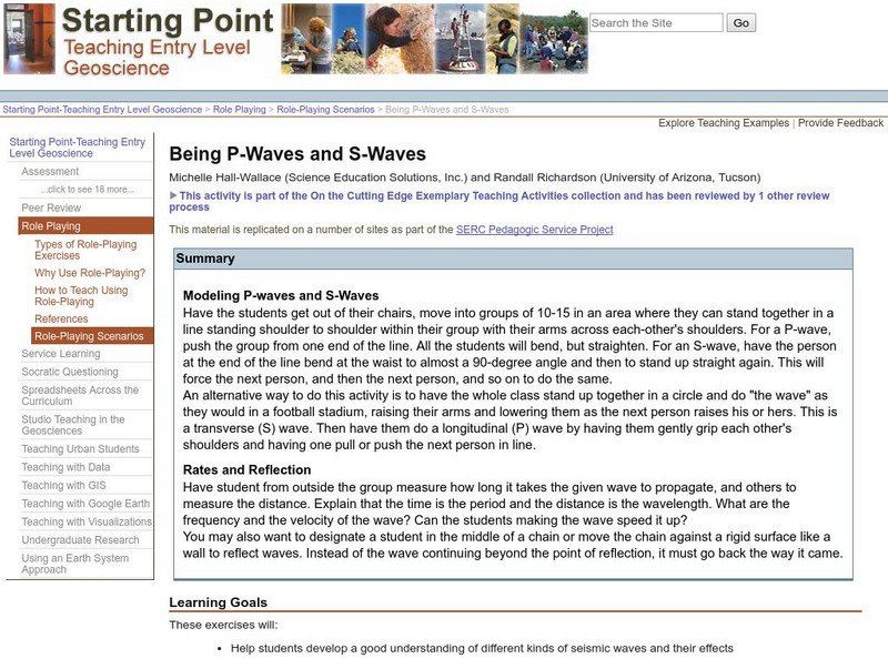
Serc: Being P Waves and S Waves
In this lesson students develop a good understanding of different kinds of seismic waves and their effects.
TryEngineering
Try Engineering: Shake It Up With Seismographs
During this lesson, students learn how seismographs work and how technology has impacted the world by helping save lives from earthquakes. They will work in teams to design, test, and evaluate the results of their own seismographs, then...
Other
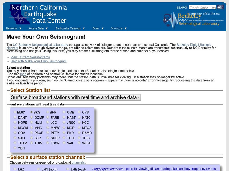
Ncedc: Make Your Own Seismogram
This site from NCEDC gives you an opportunity to "make your own seismogram" by choosing from a number of options on the screen.
Other
Nevada Seismological Laboratory: Seismic Waves
This resource describes the two different types of seismic waves and how they travel through the earth, offers diagrams of the waves, their speeds, and how seismograms are used to locate earthquakes.
University of Southern California
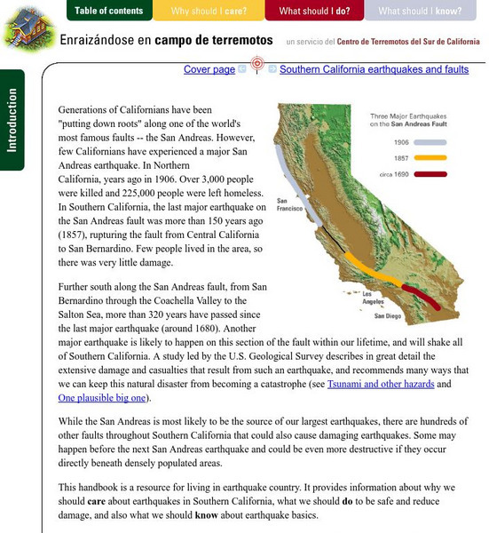
Earthquake Country Alliance: Putting Down Roots in Earthquake Country
This handbook is a resource for living in earthquake country. It provides information about why we should care about earthquakes in Southern California, what we should do to be safe and reduce damage, and also what we should know about...
American Geosciences Institute
American Geosciences Institute: Earth Science Week: Seismic Calendar
Students investigate how often earthquakes of various magnitudes happen within specific geographic regions.
US Geological Survey
U.s. Geological Survey: Did You Feel It?
Locate all the most recent earthquakes on this interactive map. Data includes location, magnitude and time of the quake.
CK-12 Foundation
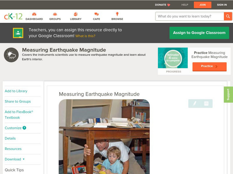
Ck 12: Earth Science: Measuring Earthquake Magnitude
[Free Registration/Login may be required to access all resource tools.] Covers the instruments scientists use to measure earthquake magnitude.
CK-12 Foundation
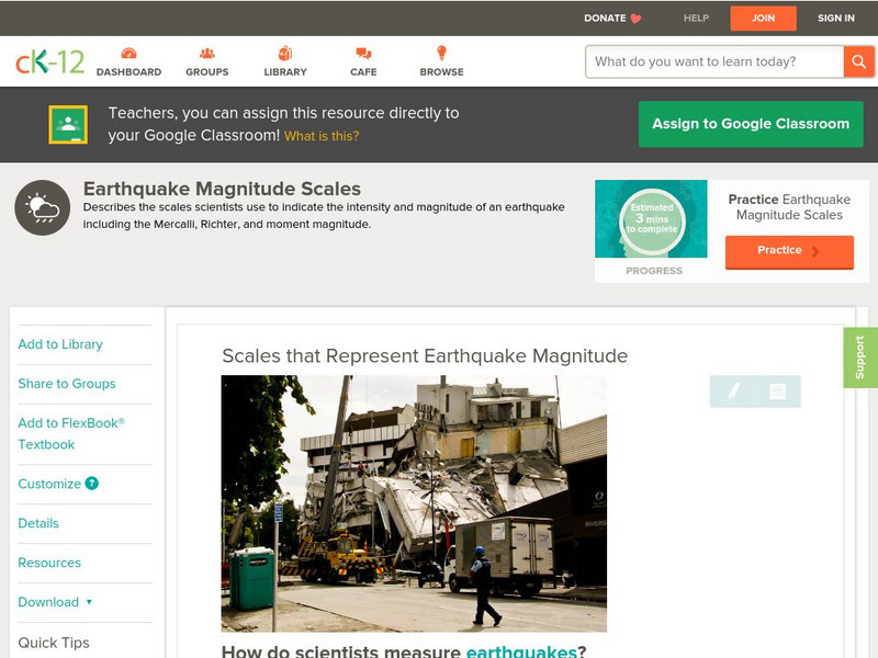
Ck 12: Earth Science: Scales That Represent Earthquake Magnitude
[Free Registration/Login may be required to access all resource tools.] Covers the scales scientists use to measure the size and intensity of earthquakes.
CK-12 Foundation
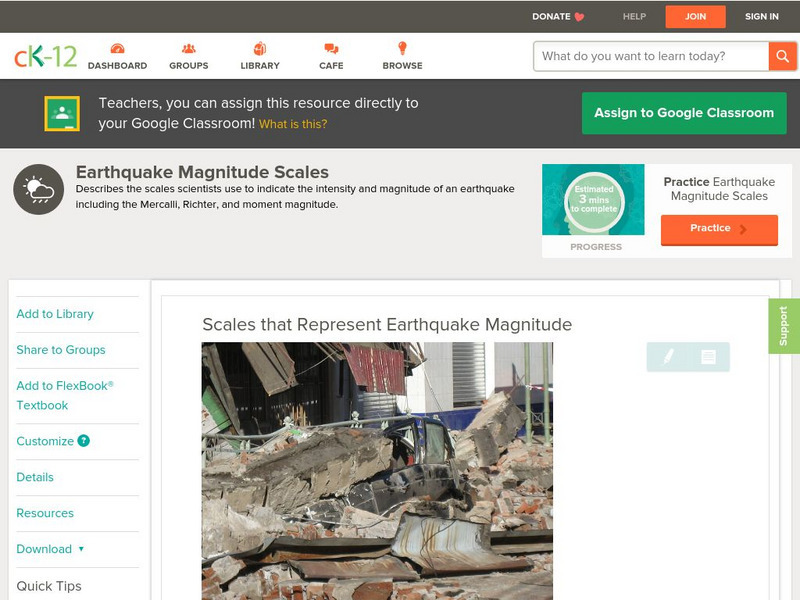
Ck 12: Earth Science: Scales That Represent Earthquake Magnitude
[Free Registration/Login may be required to access all resource tools.] Covers the scales scientists use to measure the size and intensity of earthquakes.
US Geological Survey
Usgs: Earthquakes Frequently Asked Questions
Use this resource to find answers to frequently asked questions about earthquakes.
Space.com
Space.com: Cracking the Code of Pre Earthquake Signals
Earthquakes can often hit unexpectedly. This article reveals some of the intricacies of these natural disasters and what signs serve as indicators to alert seismologists.
Incorporated Research Institutions for Seismology
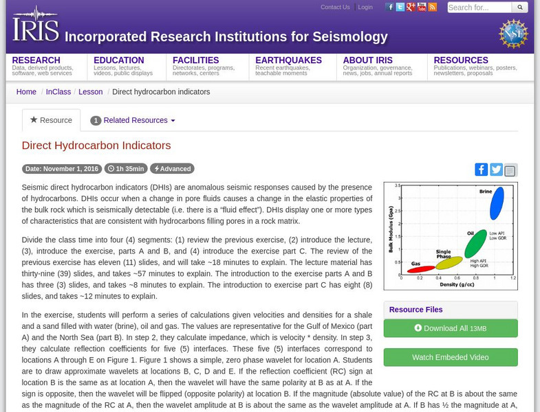
Iris: Direct Hydrocarbon Indicators
This video lecture and accompanying exercises allow students to define a DHI and how to identify them, describe how seismic data are used to determine reservoir rock and fluid properties, and list the processing and modeling steps used...
Incorporated Research Institutions for Seismology
Iris: How Hard Does the Ground Shake During a Quake?
This activity asks students to demonstrate how hard they think the ground shakes during an earthquake.
CK-12 Foundation
Ck 12: Earth Science: Scales That Represent Earthquake Magnitude Study Guide
[Free Registration/Login may be required to access all resource tools.] Provides a summary of methods used to measure earthquakes. Includes some questions to check for understanding.


![Federal Emergency Management Agency: Tremor Troop: Earthquakes [Pdf] Lesson Plan Federal Emergency Management Agency: Tremor Troop: Earthquakes [Pdf] Lesson Plan](https://d15y2dacu3jp90.cloudfront.net/images/attachment_defaults/resource/large/FPO-knovation.png)


